Fifty Point Conservation Area
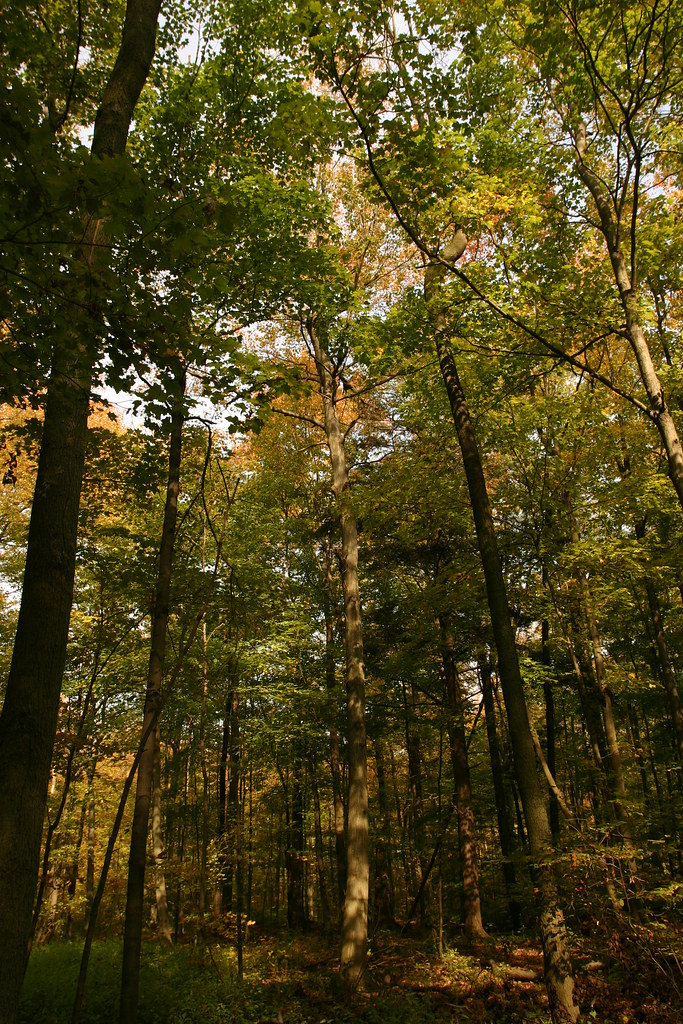
 Photo: RichardBH from Hamilton, Canada, CC BY 2.0 (via Wikimedia Commons)
- Hamilton Conservation Authority
- managed by
- May–Oct
- best months
Fifty Point Conservation Area is a protected natural area in Ontario, Canada, covering about 200 acres (1 km²). The nearest town is Grimsby, about 3.8 miles northwest of the park's centre. The boundary comes from OpenStreetMap. Check the park's own rules, fees and opening hours before you go.
Conditions and forecast
Daily highs and lows, wind and the chance of precipitation at Fifty Point Conservation Area for the next 7 days, from the Open-Meteo model.
Park size
192 acres
 Beamer Memorial Conservation AreaState park · ~6 min drivePhoto: (c) Robert Roach, some rights reserved (CC BY), CC BY 4.0 (via Wikimedia Commons)
 Eramosa Karst Conservation AreaState park · ~16 min drivePhoto: Óðinn, CC BY-SA 2.5 ca (via Wikimedia Commons)
 Balls Falls Conservation AreaState park · ~23 min drivePhoto: Paul Boudreau from Canada, CC BY 2.0 (via Wikimedia Commons)
 Bronte Creek Provincial ParkState park · ~25 min drivePhoto: Yinan Chen, Public Domain (via Wikimedia Commons)
 Royal Botanical GardensState park · ~26 min drivePhoto: Nhl4hamilton | Chit-Chat, Public domain (via Wikimedia Commons)
 Louth Conservation AreaState park · ~27 min drivePhoto: jockrutherford from Owen Sound, ON, CC BY-SA 2.0 (via Wikimedia Commons)
 Rockway Conservation AreaState park · ~30 min drivePhoto: jockrutherford from Owen Sound, ON, CC BY-SA 2.0 (via Wikimedia Commons)
 Spencer Gorge Conservation AreaState park · ~31 min drivePhoto: Eric Marshall, CC BY 3.0 (via Wikimedia Commons)
 Short Hills Provincial ParkState park · ~32 min drivePhoto: No machine-readable author provided. Terfili assumed (based on copyright claims)., Public domain (via Wikimedia Commons)
 Rattray Marsh Conservation AreaState park · ~35 min drivePhoto: Joe deSousa, CC0 (via Wikimedia Commons)
Also worth it near here
 Lookout TrailHiking · ~6 min drivePhoto: Martin Cathrae, CC BY-SA 2.0 (via Flickr)
 Beamer's FallsWaterfall · ~6 min drivePhoto: boodrian, CC BY-SA 3.0 (via Wikimedia Commons)
 Nelles BeachBeach · ~8 min drivePhoto: Gogerr, CC BY-SA 4.0 (via Wikimedia Commons)
- Devil's Punchbowl (ICE)Rock climbing · ~11 min drive
 Burlington HeightsSummit · ~24 min drivePhoto: Laslovarga, CC BY-SA 3.0 (via Wikimedia Commons)
Best time to visit Fifty Point Conservation Area
Best months: May–October. Best months have typical highs of 55–85 °F, lows of 30 °F or warmer (32 °F where there's no snowfall data), at most one snowy day and no more than 12 wet days.
Jan
32° / 21°
13 wet
Feb
33° / 20°
11 wet
Mar
40° / 27°
11 wet
Apr
51° / 38°
12 wet
May
63° / 49°
12 wet
Jun
73° / 61°
10 wet
Jul
79° / 67°
9 wet
Aug
77° / 67°
9 wet
Sep
71° / 60°
11 wet
Oct
59° / 49°
11 wet
Nov
47° / 39°
12 wet
Dec
37° / 28°
13 wet
Typical high / low (°F) and days with rain or snow, 1981–2010. Modelled for the 1 km square this place sits in (average height 259 ft), not measured at a weather station. We don't have this place's elevation, so higher spots nearby can run cooler. Snowfall days aren't in this data. Source: CHELSA 1 km climate model (1981–2010) and CRU TS 4.09 wet days. Data: CHELSA V2.1 climatologies (Karger et al. 2017), WSL (CC0 1.0); CRU TS 4.09 (Harris et al. 2020), University of East Anglia Climatic Research Unit. Contains public sector information licensed under the Open Government Licence v3.0. (Open Government Licence v3.0).
Map and trail data © OpenStreetMap contributors
