Meadows
An out-and-back cross-country ski trail in Ontario, Canada.
- 3.1 mi
- round trip
- 245 ft
- climb
- 842 ft
- high point
- Out and back
- route
Best time to visit Meadows
Best months: May–September. Best months have typical highs of 55–85 °F, lows of 30 °F or warmer (32 °F where the station doesn't record snow), at most one snowy day and no more than 12 wet days.
Jan
20° / 1°
9 wet
Feb
24° / 2°
6 wet
Mar
34° / 13°
7 wet
Apr
45° / 26°
9 wet
May
58° / 37°
11 wet
Jun
68° / 46°
12 wet
Jul
74° / 52°
11 wet
Aug
73° / 52°
11 wet
Sep
65° / 44°
11 wet
Oct
51° / 33°
11 wet
Nov
38° / 22°
9 wet
Dec
26° / 9°
9 wet
Typical high / low (°F) and days with rain or snow, 1991–2020. Measured at Grand Portage, MN, 28.5 mi away at 730 ft. This station doesn't record snowfall. Source: NOAA NCEI U.S. Climate Normals 1991–2020.
Meadows is an out-and-back cross-country ski trail in Ontario, Canada. It is 1.5 miles each way, 3.1 miles there and back. It runs between about 770 ft and 840 ft above sea level, with roughly 90 ft of climbing one way. It is mapped as an easy route. It is groomed for classic and skate skiing. The nearest town is Thunder Bay, about 7.8 miles southwest of the start. For camping, Grey Wolf Scout Camp is within about 6 miles. There are 19 other mapped trails within about 3 miles, so you can combine or extend the outing. Distances, elevations and the trail shape here come from OpenStreetMap and the Copernicus 90 m elevation model. Grooming and snow conditions change daily, so check the local trail report before you go.
Make it a trip
Roamze builds the days around this route: where to sleep, where to eat after, what to do if it rains. You change anything.
Keep exploring — more snow worth the drive
Lookout
~0 min drive
A 3.9-mile cross-country ski trail that makes a loop in Ontario, Canada.
Tamarack
~1 min drive
A 2.0-mile cross-country ski trail that makes a loop in Ontario, Canada.
Northern Lights
~1 min drive
A 0.9-mile cross-country ski trail that makes a loop in Ontario, Canada.
Cgt-Old Logging Camp North Loo
~1h 25m drive
0.42-mile out-and-back ski route in Minnesota with 65 ft of elevation gain.
Burma Trail
~52 min drive
An out-and-back cross-country ski trail in Ontario, Canada.
Dudley's
~1 min drive
An out-and-back cross-country ski trail in Ontario, Canada.
Sun Down
~1 min drive
An out-and-back cross-country ski trail in Ontario, Canada.
Ferns Lake Trail
~46 min drive
An out-and-back cross-country ski trail in Ontario, Canada.
Sun Up
~1 min drive
An out-and-back cross-country ski trail in Ontario, Canada.
Cgt-Moose Pasture
~1h 25m drive
1.33-mile loop trail in Minnesota with 42 ft of elevation gain.
Also worth it near here
Ontario Ice and Mixed
~7 min drive
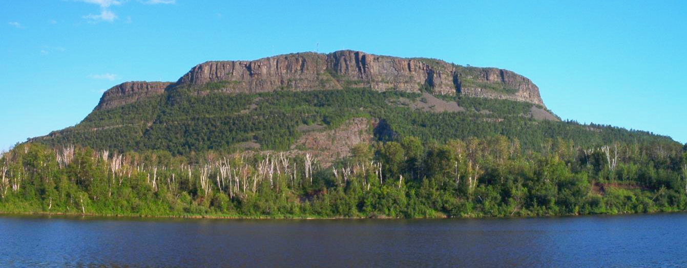 Photo: Vidioman, CC BY-SA 3.0 (via Wikimedia Commons)
Mount McKay
~7 min drive
 Photo: Derek Hatfield from Peterborough, Canada, CC BY 2.0 (via Wikimedia Commons)
McVickers Creek Trail
~19 min drive
 Photo: Sharon Mollerus, CC BY 2.0 (via Flickr)
Mink Mountain Trail
~19 min drive
 Photo: Sajith T S, CC BY-SA 2.0 (via Wikimedia Commons)
Little Falls
~20 min drive
Conditions and forecast
Daily highs and lows, wind and the chance of precipitation at Meadows for the next 7 days, from the Open-Meteo model.
Map and trail data © OpenStreetMap contributors
