Muskoka Woods
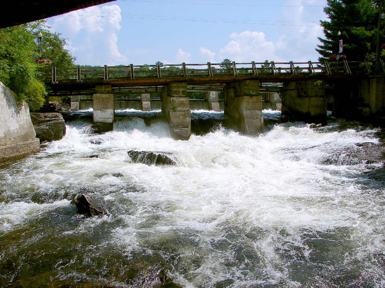
A campground in Ontario, Canada.
 Photo: A J Butler, CC BY 3.0 (via Wikimedia Commons)
- At 774 ft
Muskoka Woods is a campground in Ontario, Canada, at about 770 ft above sea level. The nearest town is Rosseau, about 1.2 miles southeast of the campground. For camping, Campfire Muskoka is within about 6 miles. The location and elevation come from OpenStreetMap and the Copernicus 90 m elevation model. Check local access rules and conditions before you go.
Make it a trip
Roamze builds the days around this campground: where to sleep, where to eat after, what to do if it rains. You change anything.
Keep exploring — more campsites worth the drive
 Photo: John Vetterli from Toronto, Canada, CC BY-SA 2.0 (via Wikimedia Commons)
Arrowhead Lake Campground
~38 min drive
A campground in Ontario, Canada.
Campfire Muskoka
~4 min drive
A campground in Ontario, Canada.
Camp Kwasind
~12 min drive
A campground in Ontario, Canada.
Anderson Island Camp Site
~12 min drive
A campground in Ontario, Canada.
Horseshoe Lake Camp & Cottages
~17 min drive
A campground in Ontario, Canada.
Oastler Lake - Riverside Campground
~30 min drive
A campground in Ontario, Canada.
Oastler Lake - Hardwood Hill Campground
~30 min drive
A campground in Ontario, Canada.
Oastler Lake - Beachside Campground
~30 min drive
A campground in Ontario, Canada.
Oastler Lake - Lakeview Campground
~30 min drive
A campground in Ontario, Canada.
Oastler Lake - The Point Campground
~30 min drive
A campground in Ontario, Canada.
Conditions and forecast
Daily highs and lows, wind and the chance of precipitation at Muskoka Woods for the next 7 days, from the Open-Meteo model.
Map and trail data © OpenStreetMap contributors
