T’Railway Provincial Park
- 23.3 mi
- round trip
- 1,774 ft
- climb
- 476 ft
- high point
- Out and back
- route
T’Railway Provincial Park is an out-and-back trail, 23 miles each way (47 miles round trip) in Newfoundland and Labrador, Canada. It runs between about 170 ft and 480 ft above sea level, with roughly 780 ft of climbing one way. It is a well-made walking path, fine for most hikers. Most of the way is gravel. The nearest town is Whitbourne, about 6.5 miles west of the trailhead. Distances, elevations and the route shape here come from OpenStreetMap and the Copernicus 90 m elevation model. Trails, access rules and conditions change, so check locally before you go.
Keep exploring — more trails worth the drive
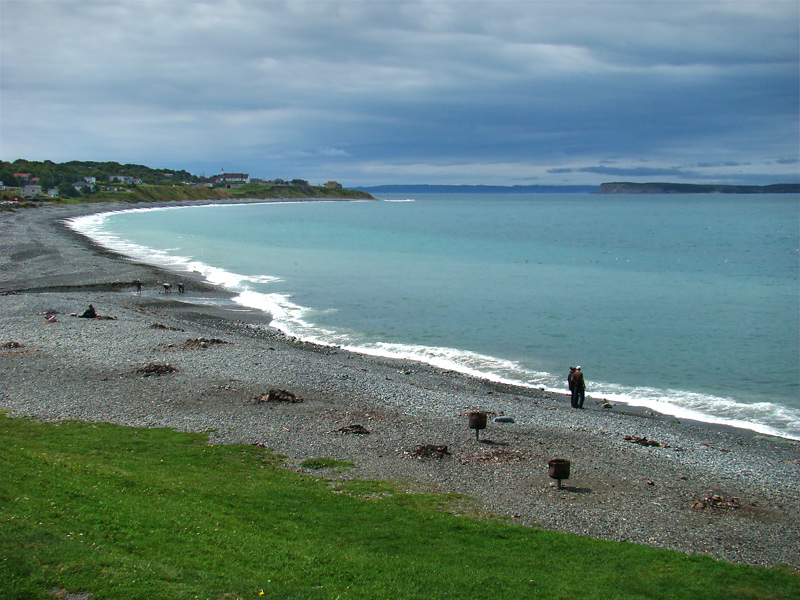 Photo: Tango7174, CC BY-SA 4.0 (via Wikimedia Commons)
Topsail Beach Bluff Trail
~1h 2m drive
A 1.1-mile loop in Newfoundland and Labrador, Canada.
T’Railway Provincial Park
~1 min drive
A 38-mile point-to-point route in Newfoundland and Labrador, Canada.
Hawke Hill Path
~43 min drive
An out-and-back trail, 1.3 miles each way (2.6 miles round trip) in Newfoundland and Labrador, Canada.
T’Railway Provincial Park
~37 min drive
An out-and-back trail, 20 miles each way (39 miles round trip) in Newfoundland and Labrador, Canada.
Branscombe's Pond
~1h 12m drive
A 0.7-mile loop in Newfoundland and Labrador, Canada.
T’Railway Provincial Park
~57 min drive
A 30-mile point-to-point route in Newfoundland and Labrador, Canada.
T’Railway Provincial Park
~1h 6m drive
An out-and-back trail, 9.2 miles each way (18 miles round trip) in Newfoundland and Labrador, Canada.
Placentiamans Trail
~1h 8m drive
An out-and-back trail, 0.4 miles each way (0.8 miles round trip) in Newfoundland and Labrador, Canada.
T’Railway Provincial Park
~1h 9m drive
An out-and-back trail, 2.4 miles each way (4.9 miles round trip) in Newfoundland and Labrador, Canada.
Waterford River Walk
~1h 13m drive
An out-and-back trail, 0.5 miles each way (1.0 miles round trip) in Newfoundland and Labrador, Canada.

Conditions and forecast
Daily highs and lows, wind and the chance of precipitation at T’Railway Provincial Park for the next 7 days, from the Open-Meteo model.
Map and trail data © OpenStreetMap contributors
