Purity Mountain
- 10,331 ft
- summit
- BC Parks
- managed by
Purity Mountain is a mountain in British Columbia, Canada, with its summit at about 10,330 ft (3,149 m) above sea level. It stands inside Incomappleux Conservancy. No mapped trail reaches the top in OpenStreetMap, so plan the approach with local maps or a guide. Peaks within about 3 miles include Vestal Mountain, Pristine Mountain and Mount Kilpatrick. The location and elevation come from OpenStreetMap and the Copernicus 90 m elevation model. Check local access rules and conditions before you go.
- Summit elevation
- 10,331 ft
- Land manager
- BC Parks
We don't know of a mapped trail or route to the summit of Purity Mountain. Plan the approach with local maps, a guidebook or a local guide, and check conditions before you go.
Questions about Purity Mountain
How tall is Purity Mountain?
10,331 ft (3,149 m).
Is there a trail to the top of Purity Mountain?
We don't know of a mapped trail or route to the summit. Plan the approach with local maps, a guidebook or a local guide.
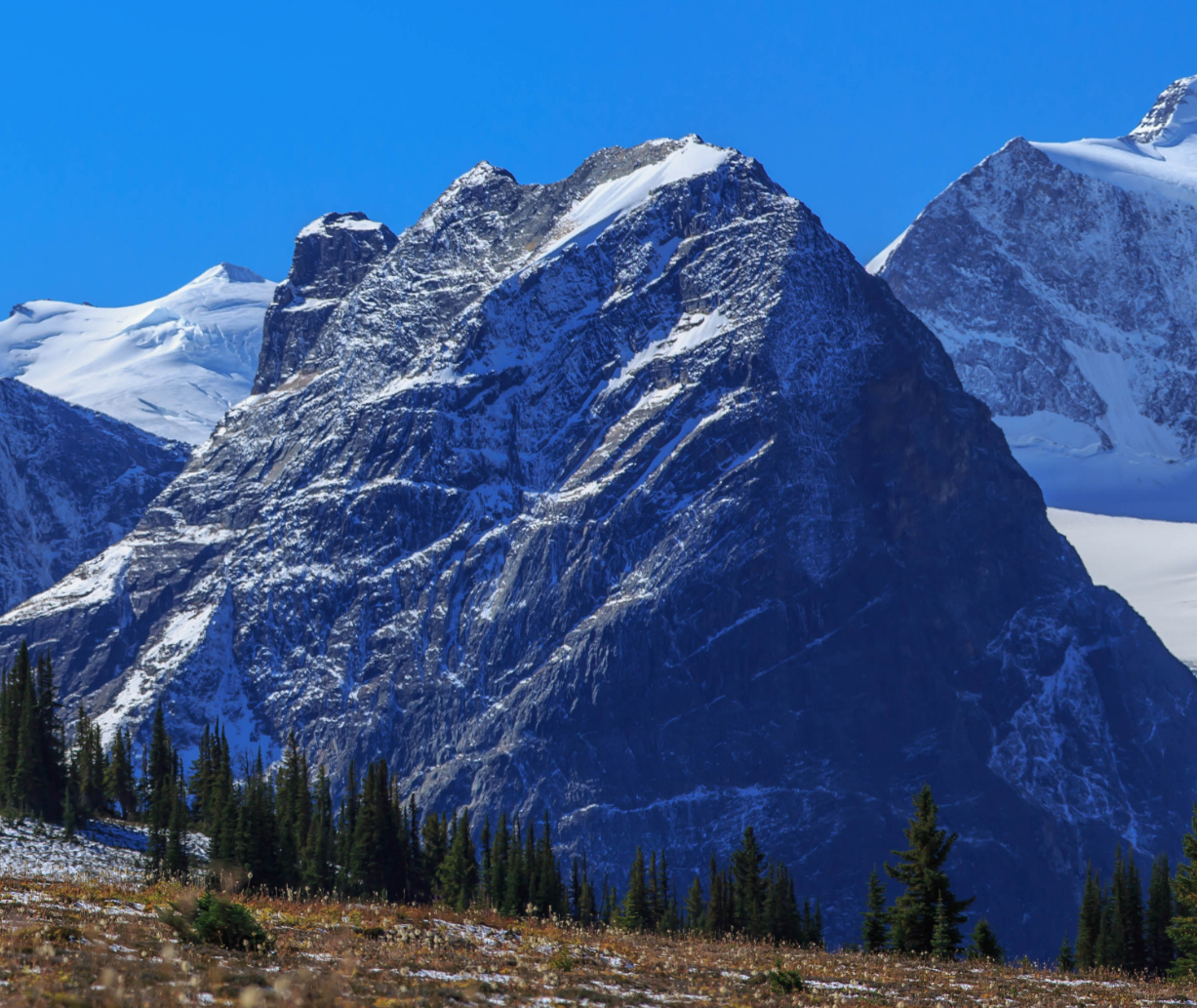 Mount TophamSummit · ~11 min drivePhoto: Murray Foubister, CC BY-SA 3.0 (via Wikimedia Commons)
- Vestal MountainSummit · ~2 min drive
- Pristine MountainSummit · ~2 min drive
- Mount KilpatrickSummit · ~4 min drive
- Findhorn PeakSummit · ~5 min drive
- Cyprian PeakSummit · ~5 min drive
- Augustine PeakSummit · ~6 min drive
- Mount McBeanSummit · ~6 min drive
- Tomatin PeakSummit · ~6 min drive
- Mount WheelerSummit · ~6 min drive
Best time to visit Purity Mountain
No month here meets our mild-weather rule. Best months have typical highs of 55–85 °F, lows of 30 °F or warmer (32 °F where there's no snowfall data), at most one snowy day and no more than 12 wet days.
Jan
5° / -6°
17 wet
Feb
9° / -5°
15 wet
Mar
16° / 2°
17 wet
Apr
24° / 9°
13 wet
May
32° / 16°
15 wet
Jun
42° / 23°
19 wet
Jul
50° / 30°
15 wet
Aug
50° / 29°
15 wet
Sep
40° / 21°
13 wet
Oct
25° / 8°
15 wet
Nov
10° / -2°
18 wet
Dec
2° / -9°
16 wet
Typical high / low (°F) and days with rain or snow, 1981–2010. Modelled for the 1 km square this place sits in (average height 9,554 ft), not measured at a weather station. The square averages about 800 ft lower than this place, so expect it a little cooler here. Snowfall days aren't in this data. Source: CHELSA 1 km climate model (1981–2010) and CRU TS 4.09 wet days. Data: CHELSA V2.1 climatologies (Karger et al. 2017), WSL (CC0 1.0); CRU TS 4.09 (Harris et al. 2020), University of East Anglia Climatic Research Unit. Contains public sector information licensed under the Open Government Licence v3.0. (Open Government Licence v3.0).


Conditions and forecast
Daily highs and lows, wind and the chance of precipitation at the summit for the next 7 days, from the Open-Meteo model.
Map and trail data © OpenStreetMap contributors
