Mount Hogue
- 7,799 ft
- summit
- BC Parks
- managed by
Mount Hogue is a mountain in British Columbia, Canada, with its summit at about 7,800 ft (2,377 m) above sea level. It stands inside Wells Gray Provincial Park. No mapped trail reaches the top in OpenStreetMap, so plan the approach with local maps or a guide. The location and elevation come from OpenStreetMap and the Copernicus 90 m elevation model. Check local access rules and conditions before you go.
- Summit elevation
- 7,799 ft
- Land manager
- BC Parks
We don't know of a mapped trail or route to the summit of Mount Hogue. Plan the approach with local maps, a guidebook or a local guide, and check conditions before you go.
Questions about Mount Hogue
How tall is Mount Hogue?
7,799 ft (2,377 m).
Is there a trail to the top of Mount Hogue?
We don't know of a mapped trail or route to the summit. Plan the approach with local maps, a guidebook or a local guide.
 Garnet PeakSummit · ~27 min drivePhoto: Roland_Neave, CC BY 3.0 (via Wikimedia Commons)
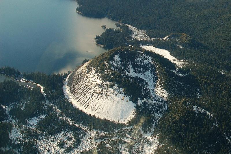 Kostal ConeSummit · ~29 min drivePhoto: nass5518, CC BY 2.0 (via Wikimedia Commons)
- Vimy RidgeSummit · ~11 min drive
- Mount MobleySummit · ~16 min drive
- Northview PeakSummit · ~19 min drive
- Buchanan PeakSummit · ~19 min drive
- Azure MountainSummit · ~22 min drive
- Murtle PeakSummit · ~22 min drive
- Zodiac MountainSummit · ~23 min drive
- Goat PeaksSummit · ~23 min drive
Also worth it near here
 Bar View CampgroundCamping · ~35 min drivePhoto: Christoph Strässler from Oberdorf BL, Schweiz, CC BY-SA 4.0 (via Wikimedia Commons)
- Eagle's View TrailHiking · ~37 min drive
- Boat DockBoat launch · ~43 min drive
 Majerus FallsWaterfall · ~47 min drivePhoto: User:Roland Neave, CC BY 3.0 (via Wikimedia Commons)
- King HutHut camping · ~52 min drive
Conditions and forecast
Daily highs and lows, wind and the chance of precipitation at the summit for the next 7 days, from the Open-Meteo model.
Map and trail data © OpenStreetMap contributors
