Wedgemont Glacier Approach
Technical alpine scramble to Wedgemont Glacier in British Columbia.
- 1.2 mi
- round trip
- 1,498 ft
- climb
- Out and back
- route
- Expert
- difficulty
This out-and-back trail in British Columbia ascends toward Wedgemont Glacier, offering alpine scenery and glacial views for experienced mountaineers. The route is technically demanding with steep terrain, exposure, and scrambling sections that require solid rock climbing skills and mountain experience. This is a serious alpine objective best attempted by parties with advanced mountaineering competency.
Make it a trip
Roamze builds the days around this trail: where to sleep, where to eat after, what to do if it rains. You change anything.
Keep exploring — more trails worth the drive
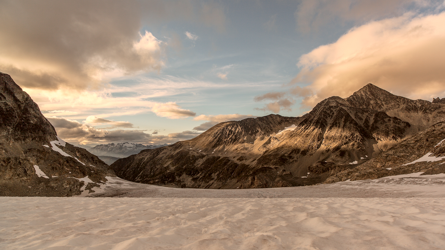 Photo: gmariusica, CC BY-SA 4.0 (via Wikimedia Commons)
Mount Weart Route
~2 min drive
An out-and-back trail, 1.0 miles each way (2.0 miles round trip) in British Columbia, Canada.
West Ridge Route
~1 min drive
Expert out-and-back scramble on exposed West Ridge with technical alpine terrain.
Dog Days
~7 min drive
Easy 1.64-mile out-and-back walk in British Columbia.
Get Down on It
~9 min drive
Short out-and-back trail with moderate technical terrain in British Columbia.
Sea to Sky Trail
~10 min drive
Scenic out-and-back BC trail with coastal and mountain views.
 Photo: Ruth Hartnup from Vancouver, Canada, CC BY 2.0 (via Wikimedia Commons)
Blackcomb Peak Route
~9 min drive
An out-and-back trail, 0.7 miles each way (1.3 miles round trip) in British Columbia, Canada.
Wedge Couloir Route
~1 min drive
Expert alpine couloir scramble with high exposure and loose terrain.
Heart Burn
~10 min drive
Easy 3.5-mile out-and-back walk through British Columbia backcountry.
Marmot Trail
~10 min drive
An out-and-back trail, 1.3 miles each way (2.5 miles round trip) in British Columbia, Canada.
Green Lake Loop
~11 min drive
Easy 1.7-mile out-and-back walk to Green Lake in British Columbia.
Also worth it near here
 Photo: Kilrogg, CC BY-SA 3.0 (via Wikimedia Commons)
Wedge Mountain
~2 min drive
 Photo: Laplumetech, CC BY-SA 4.0 (via Wikimedia Commons)
Wedgemount Hut
~3 min drive
Photo: Kilrogg, CC BY-SA 3.0 (via Wikimedia Commons)Wedge Mountain: West Ridge Route (from Wedge Creek Forest Service Road road end)
~6 min drive
 Photo: Ruth Hartnup from Vancouver, Canada, CC BY 2.0 (via Wikimedia Commons)
Lost Lake Beach
~11 min drive
 Photo: Ruth Hartnup from Vancouver, Canada, CC BY 2.0 (via Wikimedia Commons)
Lost Lake Trail
~11 min drive
Conditions and forecast
Daily highs and lows, wind and the chance of precipitation at Wedgemont Glacier Approach for the next 7 days, from the Open-Meteo model.
Map and trail data © OpenStreetMap contributors
