Upper Ziggurat Falls Trail
Short out-and-back hike to a dramatic tiered waterfall with scrambling sections.
- 0.7 mi
- round trip
- 1,813 ft
- climb
- Out and back
- route
- Hard
- difficulty
Upper Ziggurat Falls Trail is a scenic out-and-back hike in British Columbia leading to a striking tiered waterfall. This short but moderately steep trail rewards hikers with impressive cascading water features and lush forest surroundings. The T3 scrambling terrain adds technical interest for those seeking a bit more challenge on a compact route.
Make it a trip
Roamze builds the days around this trail: where to sleep, where to eat after, what to do if it rains. You change anything.
Keep exploring — more trails worth the drive
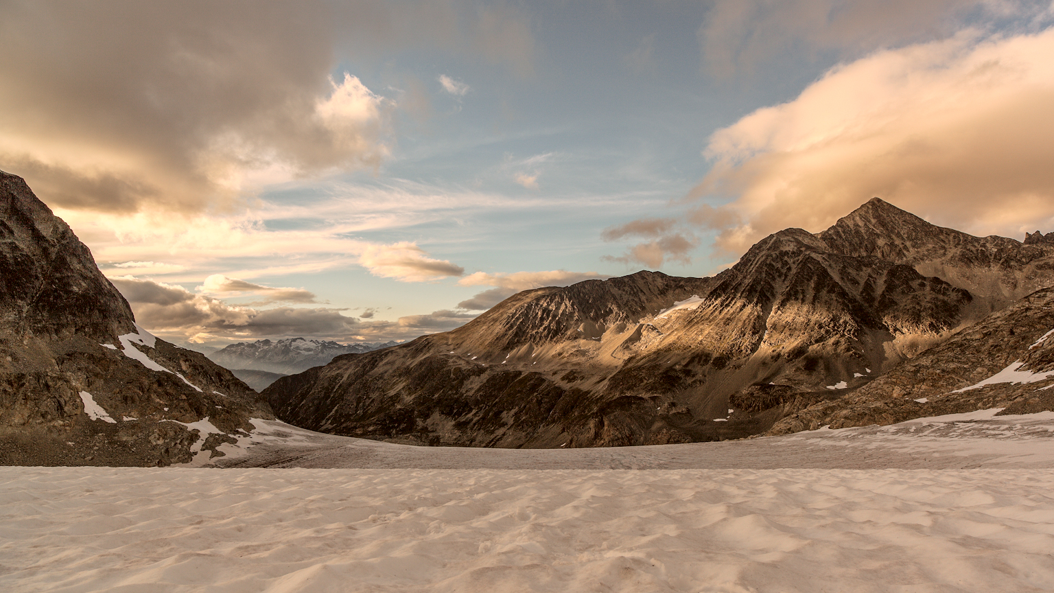 Photo: gmariusica, CC BY-SA 4.0 (via Wikimedia Commons)
Mount Weart Route
~6 min drive
An out-and-back trail, 1.0 miles each way (2.0 miles round trip) in British Columbia, Canada.
Dog Days
~3 min drive
Easy 1.64-mile out-and-back walk in British Columbia.
Sea to Sky Trail
~3 min drive
Scenic out-and-back BC trail with coastal and mountain views.
Deadfall
~4 min drive
Quick out-and-back walk through accessible British Columbia backcountry.
Armchair Traverse
~5 min drive
An out-and-back trail, 0.9 miles each way (1.9 miles round trip) in British Columbia, Canada.
 Photo: Ruth Hartnup from Vancouver, Canada, CC BY 2.0 (via Wikimedia Commons)
Blackcomb Peak Route
~12 min drive
An out-and-back trail, 0.7 miles each way (1.3 miles round trip) in British Columbia, Canada.
Big Burn
~11 min drive
Easy 2.4-mile out-and-back through recovering burn forest in BC.
Green Lake Loop
~8 min drive
Easy 1.7-mile out-and-back walk to Green Lake in British Columbia.
Get Down on It
~5 min drive
Short out-and-back trail with moderate technical terrain in British Columbia.
West Ridge Route
~7 min drive
Expert out-and-back scramble on exposed West Ridge with technical alpine terrain.
Also worth it near here
 Photo: Kilrogg, CC BY-SA 3.0 (via Wikimedia Commons)
Wedge Mountain: West Ridge Route (from Wedge Creek Forest Service Road road end)
~2 min drive
 Photo: Laplumetech, CC BY-SA 4.0 (via Wikimedia Commons)
Wedgemount Hut
~5 min drive
 Photo: Martin Bravenboer, CC BY 3.0 (via Wikimedia Commons)
Mount Moe
~6 min drive
Molly Hogan Trail
~9 min drive
Riverside Resort Campground
~9 min drive
Conditions and forecast
Daily highs and lows, wind and the chance of precipitation at Upper Ziggurat Falls Trail for the next 7 days, from the Open-Meteo model.
Map and trail data © OpenStreetMap contributors
