Starvation Lake Plunge
- 0.9 mi
- round trip
- 1,061 ft
- climb
- Out and back
- route
- Easy
- difficulty
Starvation Lake Plunge is a short out-and-back trail in British Columbia that leads to a scenic waterfall or plunge pool, making it an ideal half-day adventure for hikers of all abilities. The trail features gentle terrain with minimal elevation gain, offering an accessible way to experience the region's natural water features. This route is perfect for families and those seeking a quick escape into the backcountry.
Keep exploring — more trails worth the drive
HIKE
Chance Lake East Trail
~6 min drive
Moderate out-and-back hike to Chance Lake's eastern shore in BC.
HIKE
Mount Price Trail
~10 min drive
Moderate 5.4-mile out-and-back alpine climb with steady elevation gain.
HIKE
Black Tusk Trail
~12 min drive
Steep alpine scramble to iconic volcanic peak with technical terrain.
HIKE
Svadhyaya
~15 min drive
Easy out-and-back walk through British Columbia's accessible terrain.
HIKE
Rob's Corners
~15 min drive
Easy 1.24-mile out-and-back trail near Rob's Corners, BC.
HIKE
Don't Meth Around
~7 min drive
Accessible 2.5-mile out-and-back trail in British Columbia with moderate terrain.
HIKE
Sigurd Creek Trail
~12 min drive
Scenic out-and-back creek walk through BC forest.
HIKE
East Ridge Route
~15 min drive
Expert SAC T6 alpine scramble with steep exposure and technical terrain.
HIKE
Meadow of the Grizzly (Spélhx̱en Tl'a Stl'lhalem)
~20 min drive
Easy alpine meadow walk through British Columbia's scenic grasslands.
HIKE
Ray Peters Trail
~16 min drive
A moderate 4.52-mile loop through British Columbia's forested terrain.
Also worth it near here
SEE
Cloudburst Cabin
~7 min drive
 Photo: Cameron, CC BY 2.0 (via Wikimedia Commons)
Levette Lake
~8 min drive
 Photo: Akos Kokai, CC BY 2.0 (via Wikimedia Commons)
Garibaldi Neve Traverse
~10 min drive
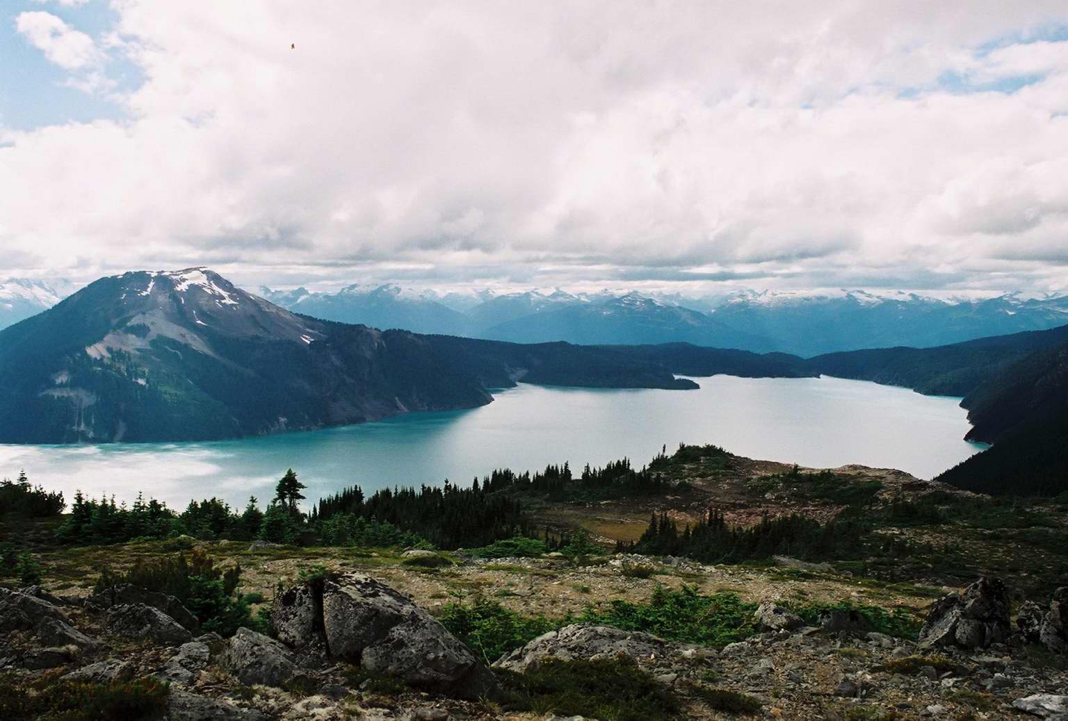 Photo: McKay Savage, CC BY 2.0 (via Wikimedia Commons)
Mount Price
~11 min drive
RIDE
Bob McIntosh Memorial
~14 min drive
Conditions and forecast
Daily highs and lows, wind and the chance of precipitation at Starvation Lake Plunge for the next 7 days, from the Open-Meteo model.
Map and trail data © OpenStreetMap contributors
