Middle Peak Trail
Moderate 9.76-mile out-and-back summit hike with rewarding peak views.
- 4.9 mi
- round trip
- 5,297 ft
- climb
- Out and back
- route
Middle Peak Trail is a scenic out-and-back route in British Columbia that climbs nearly 1,000 feet over 9.76 miles of varied terrain. This moderate hike rewards hikers with expansive views from the summit and passes through diverse ecosystems typical of BC's interior or coastal ranges. The trail offers a solid day hike experience with steady elevation gain and the flexibility to turn back at any point.
Make it a trip
Roamze builds the days around this trail: where to sleep, where to eat after, what to do if it rains. You change anything.
Keep exploring — more trails worth the drive
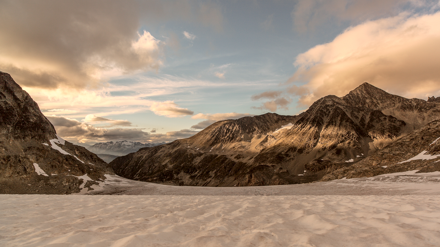 Photo: gmariusica, CC BY-SA 4.0 (via Wikimedia Commons)
Mount Weart Route
~18 min drive
An out-and-back trail, 1.0 miles each way (2.0 miles round trip) in British Columbia, Canada.
Husqvarna
~5 min drive
Accessible 3.16-mile out-and-back trail in British Columbia's lower forests.
Sea to Sky Trail
~6 min drive
Scenic out-and-back trail with coastal and mountain views in British Columbia.
Ancient Cedars Trail
~10 min drive
Easy lollipop walk through old-growth cedar forest in BC's temperate rainforest.
Armchair Traverse
~17 min drive
An out-and-back trail, 0.9 miles each way (1.9 miles round trip) in British Columbia, Canada.
Black Slabbith
~5 min drive
Technical 13.38-mile out-and-back alpine scramble with exposed slab terrain.
Deadfall
~8 min drive
Quick out-and-back walk through accessible British Columbia backcountry.
Sea to Sky Trail
~7 min drive
Scenic out-and-back hike with sea and sky views along BC's Sea to Sky corridor.
Bob's Loop
~11 min drive
Easy loop trail under 1 mile with minimal elevation gain.
West Ridge Route
~19 min drive
Expert out-and-back scramble on exposed West Ridge with technical alpine terrain.
Also worth it near here
Nairn Falls Campground
~9 min drive
Pemberton Dyke Lillooet River BC Rail - Hwy99
~11 min drive
 Photo: Kilrogg, CC BY-SA 3.0 (via Wikimedia Commons)
Wedge Mountain: West Ridge Route (from Wedge Creek Forest Service Road road end)
~14 min drive
 Photo: Martin Bravenboer, CC BY 3.0 (via Wikimedia Commons)
Mount Moe
~16 min drive
 Photo: Laplumetech, CC BY-SA 4.0 (via Wikimedia Commons)
Wedgemount Hut
~17 min drive
Conditions and forecast
Daily highs and lows, wind and the chance of precipitation at Middle Peak Trail for the next 7 days, from the Open-Meteo model.
Map and trail data © OpenStreetMap contributors
