Cerise Creek Summer Trail
- 1.6 mi
- round trip
- 1,561 ft
- climb
- Out and back
- route
- Moderate
- difficulty
Cerise Creek Summer Trail is a scenic out-and-back hike in British Columbia that follows Cerise Creek through alpine terrain. This T2-rated trail offers accessible summer hiking with creek-side views and subalpine meadows, making it an ideal choice for hikers seeking moderate terrain without technical difficulty.
Keep exploring — more trails worth the drive
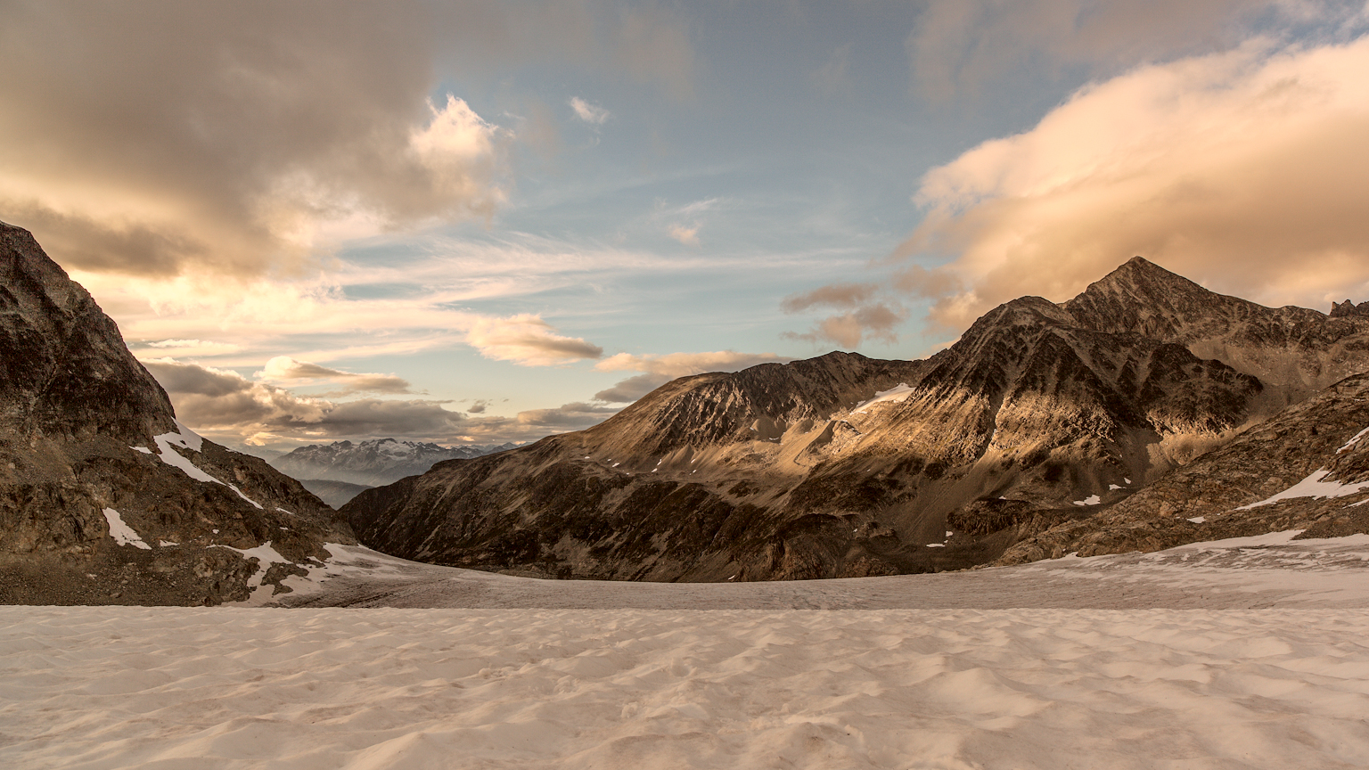 Photo: gmariusica, CC BY-SA 4.0 (via Wikimedia Commons)
Mount Weart Route
~37 min drive
An out-and-back trail, 1.0 miles each way (2.0 miles round trip) in British Columbia, Canada.
Cerise Creek Summer Trail
~1 min drive
Easy 1.5-mile out-and-back creek-side hike in BC's subalpine zone.
Slalok Scramble Route
~6 min drive
Technical SAC T6 scramble with steep exposure and alpine terrain.
Skwenkwín
~26 min drive
Easy 0.74-mile out-and-back walk in British Columbia.
Downton Lake Trail
~28 min drive
Short out-and-back hike to a scenic alpine lake in BC.
Stonecrop Face Route
~5 min drive
Technical SAC T4 out-and-back scramble to alpine rock terrain.
Joffre Lakes Trail
~5 min drive
Point-to-point alpine trail featuring three turquoise glacial lakes near Pemberton, BC.
Place Glacier Trail
~21 min drive
Steep alpine out-and-back to Place Glacier with dramatic views and exposed scrambling.
Skwenkwín
~27 min drive
Easy 1.62-mile out-and-back walk in British Columbia.
Chain Lakes Trail
~28 min drive
Out-and-back alpine trail featuring multiple scenic mountain lakes.


Conditions and forecast
Daily highs and lows, wind and the chance of precipitation at Cerise Creek Summer Trail for the next 7 days, from the Open-Meteo model.
Map and trail data © OpenStreetMap contributors
