Riverside Dispersed Camping
- At 1,986 ft
Riverside Dispersed Camping is a campground in British Columbia, Canada, at about 1,990 ft above sea level. Trails within about a mile include Hold My Beer, Dog Days and Get Down On It. The nearest town is Whistler, about 4.8 miles northeast of the campground. Peaks within about 3 miles include Cougar Mountain and Rethel Mountain. Wedge Creek Falls and Twin Waterfall are within about 3 miles. For camping, Riverside Resort Campground is within about 6 miles. The location and elevation come from OpenStreetMap and the Copernicus 90 m elevation model. Check local access rules and conditions before you go.
Keep exploring — more campsites worth the drive
 Photo: Trougnouf (Benoit Brummer), CC BY 4.0 (via Wikimedia Commons)
Helm Creek Campground
~22 min drive
A campground in British Columbia, Canada.
 Photo: Laplumetech, CC BY-SA 4.0 (via Wikimedia Commons)
Wedgemount Hut
~5 min drive
An unstaffed wilderness hut in British Columbia, Canada.
 Photo: Giuseppe Milo, CC BY 2.0 (via Wikimedia Commons)
Upper Joffre Lake Campground
~37 min drive
A campground in British Columbia, Canada.
SEE
Sootip Cabin
~10 min drive
An unstaffed wilderness hut in British Columbia, Canada.
BED
Riverside Resort Campground
~6 min drive
A campground in British Columbia, Canada.
SEE
Kees and Claire Hut
~18 min drive
A mountain hut in British Columbia, Canada.
BED
Nairn Falls Campground
~16 min drive
A campground in British Columbia, Canada.
SEE
Rutherford Emergency Shelter
~24 min drive
An unstaffed wilderness hut in British Columbia, Canada.
BED
Russet Lake Campgrounds
~17 min drive
A campground in British Columbia, Canada.
SEE
Goat Meadows Hut
~27 min drive
An unstaffed wilderness hut in British Columbia, Canada.
Also worth it near here
 Photo: Kilrogg, CC BY-SA 3.0 (via Wikimedia Commons)
Wedge Mountain: West Ridge Route (from Wedge Creek Forest Service Road road end)
~2 min drive
RIDE
Tommy Moore
~6 min drive
 Photo: Ruth Hartnup from Vancouver, Canada, CC BY 2.0 (via Wikimedia Commons)
Lost Lake Beach
~6 min drive
 Photo: Ruth Hartnup from Vancouver, Canada, CC BY 2.0 (via Wikimedia Commons)
Lost Lake Trail
~7 min drive
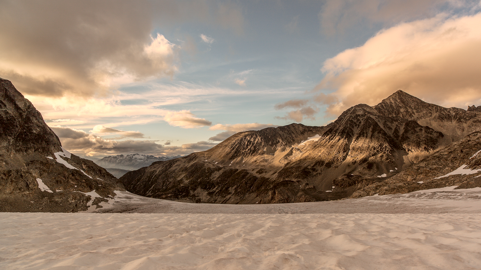 Photo: gmariusica, CC BY-SA 4.0 (via Wikimedia Commons)
Mount Weart Route
~8 min drive
Conditions and forecast
Daily highs and lows, wind and the chance of precipitation at Riverside Dispersed Camping for the next 7 days, from the Open-Meteo model.
Map and trail data © OpenStreetMap contributors
