Cambie Creek (Winter Only)
- At 4,332 ft
Cambie Creek (Winter Only) is a campground in British Columbia, Canada, at about 4,330 ft above sea level. It is inside E.C. Manning Provincial Park. Camping here is paid. The nearest town is Sunshine Valley, about 21 miles southeast of the campground. Peaks within about 3 miles include Mount Kelly and Burnt Knoll. For camping, Coldspring Campground and Lone Duck Two are within about 6 miles. The location and elevation come from OpenStreetMap and the Copernicus 90 m elevation model. Check local access rules and conditions before you go.
Keep exploring — more campsites worth the drive
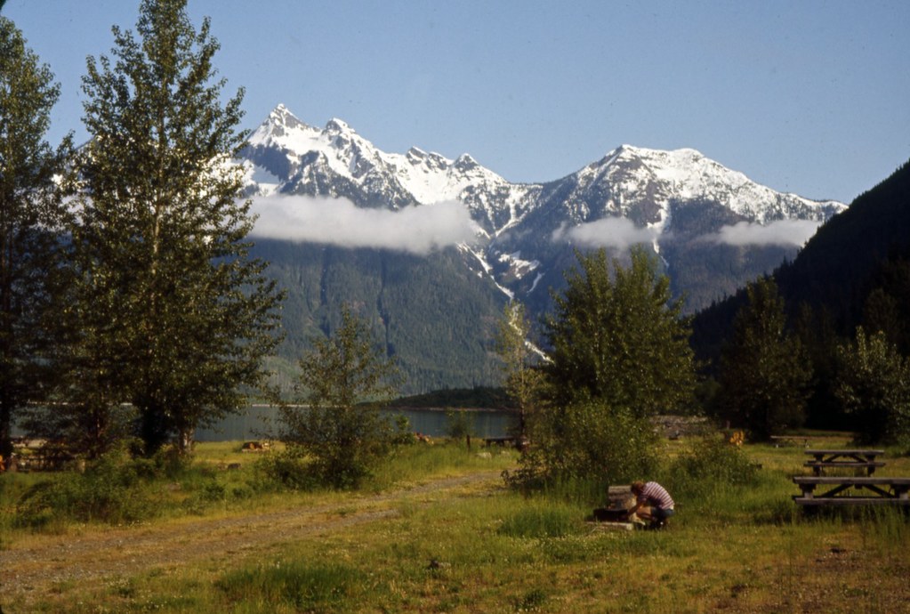 Photo: Seattle Municipal Archives — CC BY 2.0 (via Flickr)
Hozomeen
~22 min drive
Hozomeen is a campground in Washington at about 1,610 feet. It is managed by the National Park Service.
SEE
Daylodge
~8 min drive
A mountain hut in British Columbia, Canada.
BED
Coldspring Campground
~5 min drive
A campground in British Columbia, Canada.
SEE
Poland Lake Hut
~9 min drive
An unstaffed wilderness hut in British Columbia, Canada.
BED
Lone Duck Two
~5 min drive
A campground in British Columbia, Canada.
SEE
Frog Hollow Emergency Shelter
~24 min drive
An unstaffed wilderness hut in British Columbia, Canada.
BED
Lone Duck Group Campground
~5 min drive
A campground in British Columbia, Canada.
BED
Lone Duck One
~5 min drive
A campground in British Columbia, Canada.
BED
Skyview Campground
~6 min drive
A campground in British Columbia, Canada.
BED
Buckhorn Campground
~7 min drive
An informal camping spot in British Columbia, Canada.

Conditions and forecast
Daily highs and lows, wind and the chance of precipitation at Cambie Creek (Winter Only) for the next 7 days, from the Open-Meteo model.
Map and trail data © OpenStreetMap contributors
