Butts Recreation Site
- May–Sep
- best months
- At 4,237 ft
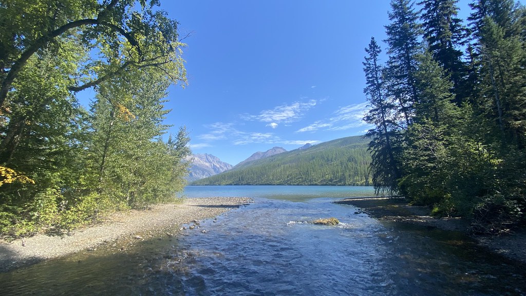
Butts Recreation Site is a campground in British Columbia, Canada, at about 4,240 ft above sea level. Camping here is mapped as free. The location and elevation come from OpenStreetMap and the Copernicus 90 m elevation model. Check local access rules and conditions before you go.
Local outfitters
- Blue Mountains RV Park27 mi away
- Indian Springs Montana28 mi away
Not on Roamze yet. Their page has how to reach them.
Conditions and forecast
Daily highs and lows, wind and the chance of precipitation at Butts Recreation Site for the next 7 days, from the Open-Meteo model.
- Frozen Lake Recreation SiteCamping · ~19 min drive
- Butts CabinHut camping · Next door
- Ram/Cabin Pass Recreation SiteCamping · ~20 min drive
- Wurtz CabinHut camping · ~28 min drive
- Pollock Creek Recreation SiteCamping · ~24 min drive
- Hornet Lookout CabinHut camping · ~28 min drive
- Kintla Lake CampCamping · ~25 min drive
- Syncline hut 2Hut camping · ~33 min drive
- Kintla Lake CampgroundCamping · ~25 min drive
- Syncline hut 1Hut camping · ~34 min drive
Best time to visit Butts Recreation Site
Best months: May–September. Best months have typical highs of 55–85 °F, lows of 30 °F or warmer (32 °F where the station doesn't record snow), at most one snowy day and no more than 12 wet days.
Jan
31° / 10°
Feb
35° / 8°
Mar
44° / 16°
Apr
54° / 24°
May
63° / 32°
Jun
70° / 39°
Jul
81° / 40°
Aug
82° / 38°
Sep
70° / 32°
Oct
54° / 26°
Nov
39° / 19°
Dec
31° / 10°
Typical high / low (°F) and days with rain or snow, 1991–2020. Measured at Polebridge, MT, 26.5 mi away at 3,520 ft. The station sits about 700 ft lower than this place, so expect it a little cooler here. This station doesn't record snowfall. Source: NOAA NCEI U.S. Climate Normals 1991–2020.
Map and trail data © OpenStreetMap contributors
