Bella Pacifica Campground
A campground in British Columbia, Canada.
- At 23 ft
Bella Pacifica Campground is a campground in British Columbia, Canada, at about 20 ft above sea level. OpenStreetMap lists electric hookups. Camping here is paid. It has about 181 sites. Trails within about a mile include Tonquin Trail. The nearest town is Tofino, about 1.3 miles south of the campground. Peaks within about 3 miles include Barrs Mountain and Wickaninnish Island. For camping, Ocean Camping and Surf Grove Campground are within about 6 miles. The location and elevation come from OpenStreetMap and the Copernicus 90 m elevation model. Check local access rules and conditions before you go.
Make it a trip
Roamze builds the days around this campground: where to sleep, where to eat after, what to do if it rains. You change anything.
Keep exploring — more campsites worth the drive
Ocean Camping
~1 min drive
A campground in British Columbia, Canada.
Clayoquat Wilderness Lodge
~29 min drive
A mountain hut in British Columbia, Canada.
Surf Grove Campground
~5 min drive
A campground in British Columbia, Canada.
Hišimy̓awiƛ (5040 Alpine Hut)
~48 min drive
A mountain hut in British Columbia, Canada.
Camp Sites (Closed)
~6 min drive
A campground in British Columbia, Canada.
Wheaton Hut
~1h 10m drive
A mountain hut in British Columbia, Canada.
Long Beach Golf Campground
~12 min drive
A campground in British Columbia, Canada.
Green Point Campground
~17 min drive
A campground in British Columbia, Canada.
West Coast Campground
~30 min drive
A campground in British Columbia, Canada.
JX Campground
~30 min drive
A campground in British Columbia, Canada.
Also worth it near here
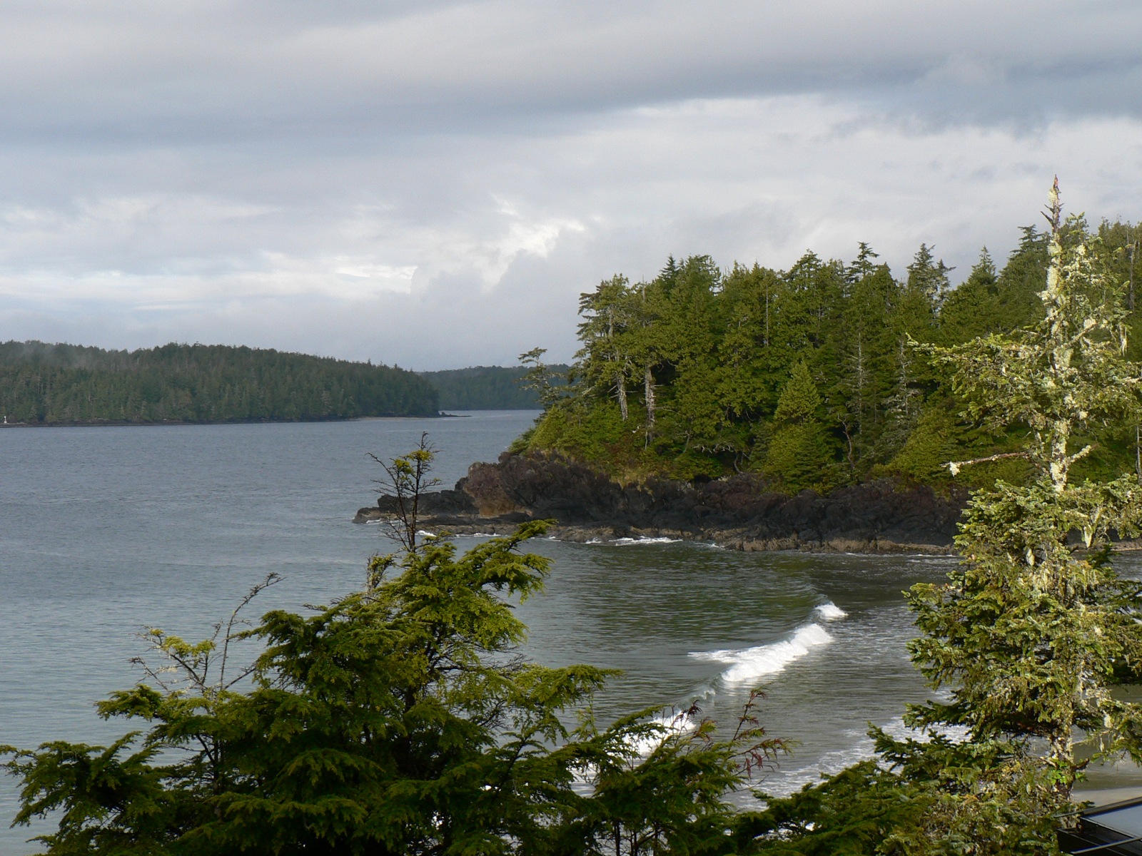 Photo: Thundercheese from Washington, DC, USA, CC BY 2.0 (via Wikimedia Commons)
Middle Beach
~0 min drive
 Photo: dvs from Vermont, USA, CC BY 2.0 (via Wikimedia Commons)
Tofino Boat Lanuch
~2 min drive
Big Tree Trail
~4 min drive
 Photo: Kristina D.C. Hoeppner from Wellington, New Zealand, CC BY-SA 2.0 (via Wikimedia Commons)
Radar Hill
~8 min drive
 Photo: Ymblanter, CC BY-SA 4.0 (via Wikimedia Commons)
Kennedy River Falls
~43 min drive
Conditions and forecast
Daily highs and lows, wind and the chance of precipitation at Bella Pacifica Campground for the next 7 days, from the Open-Meteo model.
Map and trail data © OpenStreetMap contributors
