Arnica Lake Campsite
An informal camping spot in British Columbia, Canada.
- At 3,930 ft
Arnica Lake Campsite is an informal camping spot in British Columbia, Canada, at about 3,930 ft above sea level. It is inside Strathcona-Westmin Provincial Park. Trails within about a mile include Phillips Ridge Route. The nearest town is Gold River, about 23 miles southeast of the campground. Peaks within about 3 miles include Mount Phillips and Phillips Ridge. Upper Myra Falls and Lower Myra Falls are within about 3 miles. For camping, Ralph River Campground and Phillips Creek Marine Campground are within about 6 miles. The location and elevation come from OpenStreetMap and the Copernicus 90 m elevation model. Check local access rules and conditions before you go.
Keep exploring — more campsites worth the drive
Ralph River Campground
~8 min drive
A campground in British Columbia, Canada.
Wheaton Hut
~12 min drive
A mountain hut in British Columbia, Canada.
Phillips Creek Marine Campground
~10 min drive
A campground in British Columbia, Canada.
Clayoquat Wilderness Lodge
~30 min drive
A mountain hut in British Columbia, Canada.
Bedwell Lake Campground
~13 min drive
A campground in British Columbia, Canada.
Mosiac Hut
~43 min drive
An unstaffed wilderness hut in British Columbia, Canada.
Della Falls Camp
~18 min drive
An informal camping spot in British Columbia, Canada.
Hišimy̓awiƛ (5040 Alpine Hut)
~54 min drive
A mountain hut in British Columbia, Canada.
Saw Blades Camp
~18 min drive
An informal camping spot in British Columbia, Canada.
Cable Car Camp
~20 min drive
An informal camping spot in British Columbia, Canada.
Also worth it near here
Upper Myra Falls Trail
~3 min drive
 Photo: Evsd1, CC BY-SA 4.0 (via Wikimedia Commons)
Lower Myra Falls
~4 min drive
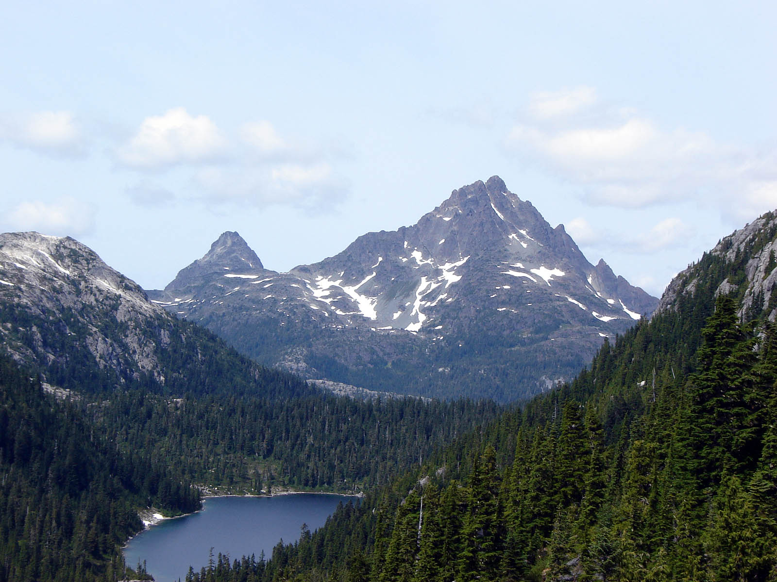 Photo: No machine-readable author provided. Keefer4~commonswiki assumed (based on copyright claims)., CC BY-SA 2.5 (via Wikimedia Commons)
Golden Hinde
~13 min drive
Albert Edward Route
~17 min drive
Conditions and forecast
Daily highs and lows, wind and the chance of precipitation at Arnica Lake Campsite for the next 7 days, from the Open-Meteo model.
Map and trail data © OpenStreetMap contributors
