Stoney Creek Group Use
A campground in Alberta, Canada.
- At 4,542 ft
Stoney Creek Group Use is a campground in Alberta, Canada, at about 4,540 ft above sea level. It is inside Stoney Creek Provincial Recreation Area. Camping here is paid. Trails within about a mile include Widowmaker Trail. The nearest town is Kananaskis Village, about 9.8 miles northeast of the campground. Peaks within about 3 miles include Horton Hill, Lusk Ridge West and Horton Ridge. For camping, Canoe Meadows Tent Campground and Canoe Meadows Group Campground are within about 6 miles. The location and elevation come from OpenStreetMap and the Copernicus 90 m elevation model. Check local access rules and conditions before you go.
Make it a trip
Roamze builds the days around this campground: where to sleep, where to eat after, what to do if it rains. You change anything.
Keep exploring — more campsites worth the drive
 Photo: Thank you for visiting my page from Canada, CC BY 2.0 (via Wikimedia Commons)
Jewell Bay Backcountry Campground
~5 min drive
A campground in Alberta, Canada.
 Photo: Anna Liao, CC BY-SA 4.0 (via Wikimedia Commons)
Moose Mountian Fire lookout
~18 min drive
An unstaffed wilderness hut in Alberta, Canada.
 Photo: Thank you for visiting my page from Canada, CC BY 2.0 (via Wikimedia Commons)
Lillian Lake Backcountry Campground
~27 min drive
A campground in Alberta, Canada.
Canmore Nordic Centre Day Lodge
~28 min drive
A mountain hut in Alberta, Canada.
 Photo: Garth Ford, CC BY-SA 4.0 (via Wikimedia Commons)
Beaver Flats Campground
~27 min drive
A campground in Alberta, Canada.
Canoe Meadows Tent Campground
~2 min drive
A campground in Alberta, Canada.
Canoe Meadows Group Campground
~2 min drive
A campground in Alberta, Canada.
Grouse Group Use
~5 min drive
A campground in Alberta, Canada.
Owl Group Use
~5 min drive
A campground in Alberta, Canada.
Lusk Pass Camp
~6 min drive
A campground in Alberta, Canada.
Also worth it near here
 Photo: Thank you for visiting my page from Canada, CC BY 2.0 (via Wikimedia Commons)
Prairie View Trail (TCT)
~2 min drive
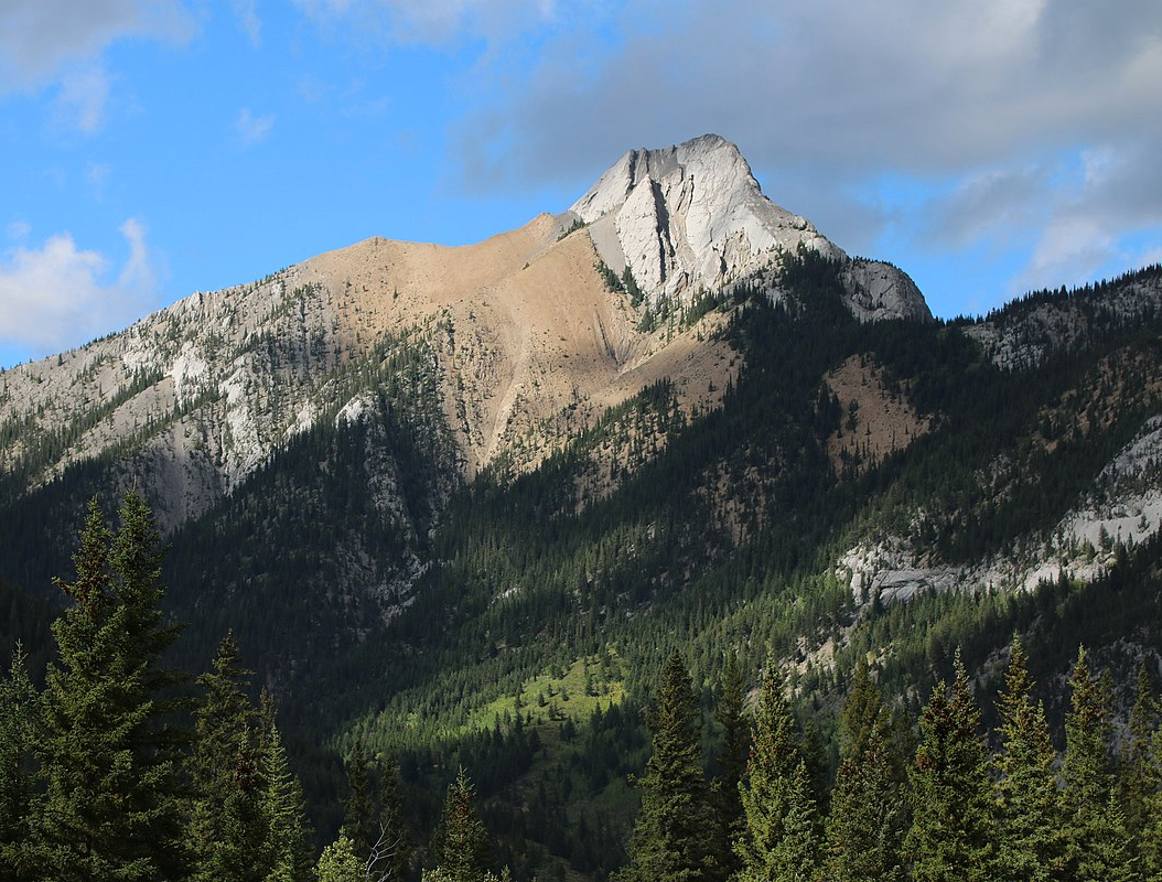 Photo: Thank you for visiting my page from Canada Artix Kreiger, CC BY 2.5 (via Wikimedia Commons)
Mary Barclay's Mountain
~7 min drive
Sun Dock
~10 min drive
Cox Hill Trail (TCT)
~11 min drive
 Photo: Jack Borno, CC BY-SA 3.0 (via Wikimedia Commons)
Exshaw Beach
~11 min drive
Conditions and forecast
Daily highs and lows, wind and the chance of precipitation at Stoney Creek Group Use for the next 7 days, from the Open-Meteo model.
Map and trail data © OpenStreetMap contributors
