Trilha Cachoeira Rabo De Cavalo
- 1.0 mi
- round trip
- 733 ft
- climb
- 2,732 ft
- high point
- Out and back
- route
Trilha Cachoeira Rabo De Cavalo is an out-and-back trail, 1.0 miles each way (1.9 miles round trip) in Minas Gerais, Brazil. It runs between about 2,250 ft and 2,730 ft above sea level, with roughly 570 ft of climbing one way. The nearest town is Itacolomi, about 4.8 miles west of the trailhead. Cachoeira Rabo de Cavalo and Cachoeira do Córrego Teodoro are within about 3 miles. For camping, Dona Maria is within about 6 miles. Distances, elevations and the route shape here come from OpenStreetMap and the Copernicus 90 m elevation model. Trails, access rules and conditions change, so check locally before you go.
Keep exploring — more trails worth the drive
 Photo: Douver Ferreira, CC BY-SA 4.0 (via Wikimedia Commons)
Trilha Poço Cachoeira Tabuleiro
~8 min drive
An out-and-back trail, 1.2 miles each way (2.4 miles round trip) in Minas Gerais, Brazil.
HIKE
Trilha Para Cachoeira Do Canelal
~1h 4m drive
An out-and-back trail, 2.3 miles each way (4.5 miles round trip) in Minas Gerais, Brazil.
 Photo: Andrea Dallevo, CC BY-SA 3.0 (via Wikimedia Commons)
Trilha De Acesso Ao Setor De Escalada G3
~35 min drive
An out-and-back trail, 0.9 miles each way (1.8 miles round trip) in Minas Gerais, Brazil.
 Photo: kwalldio, CC BY-SA 3.0 (via Wikimedia Commons)
Trilha Da Fafora De Cima
~38 min drive
An out-and-back trail, 3.7 miles each way (7.4 miles round trip) in Minas Gerais, Brazil.
HIKE
Trilha Lapinha X Tabuleiro Topo
~7 min drive
An out-and-back trail, 3.0 miles each way (5.9 miles round trip) in Minas Gerais, Brazil.
HIKE
Trilha Casa Dona Ana
~11 min drive
An out-and-back trail, 0.7 miles each way (1.4 miles round trip) in Minas Gerais, Brazil.
HIKE
Trilha Cachoeira Capivara
~28 min drive
An out-and-back trail, 1.7 miles each way (3.3 miles round trip) in Minas Gerais, Brazil.
HIKE
Trilha Dos Escravos
~35 min drive
An out-and-back trail, 1.1 miles each way (2.2 miles round trip) in Minas Gerais, Brazil.
HIKE
Trilha Dos Escravos
~35 min drive
An out-and-back trail, 2.9 miles each way (5.7 miles round trip) in Minas Gerais, Brazil.
HIKE
Trilha Para a Cachoeira João Fernandes
~39 min drive
An out-and-back trail, 1.7 miles each way (3.4 miles round trip) in Minas Gerais, Brazil.
Also worth it near here
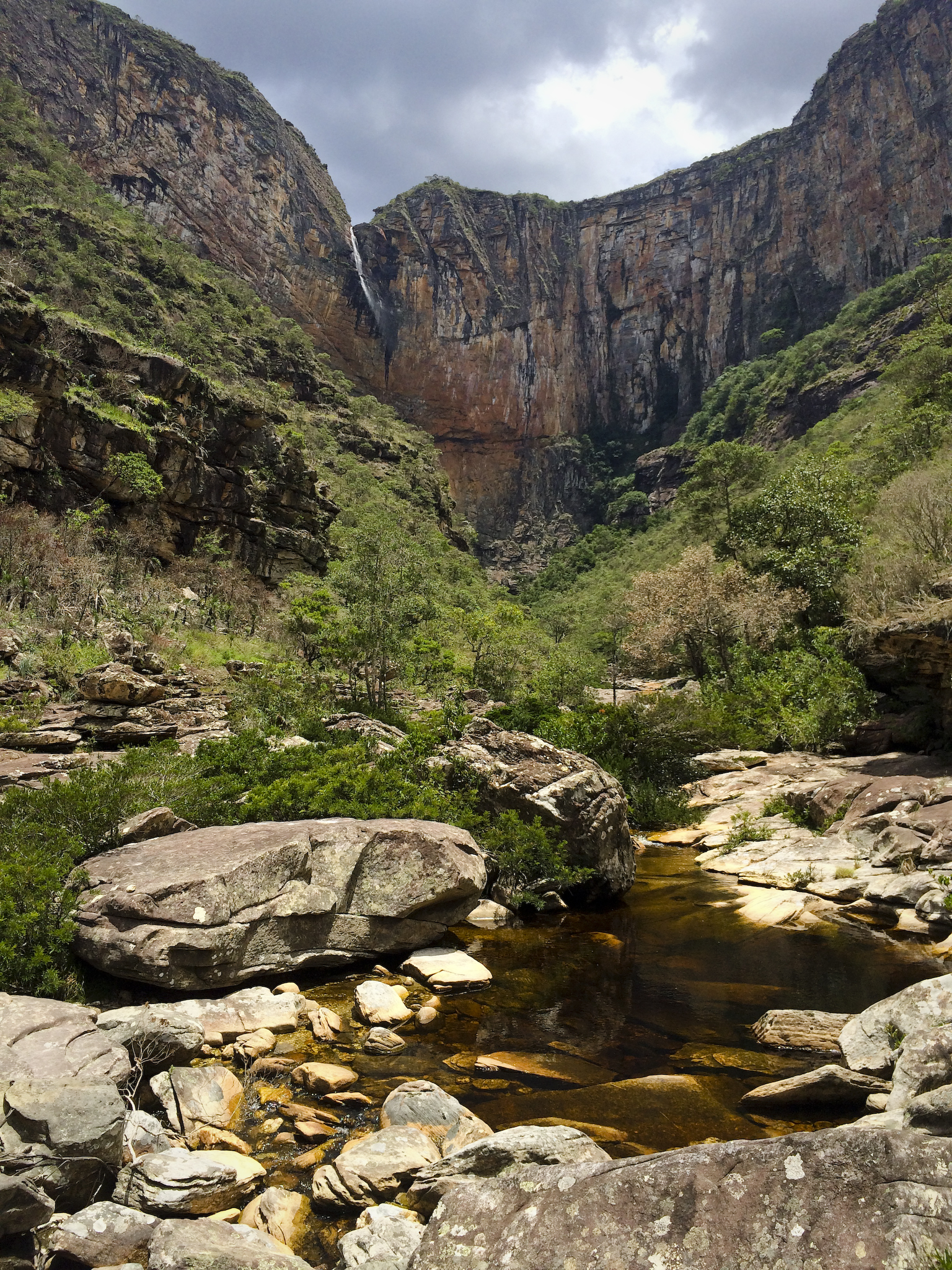 Photo: Andrea Dallevo, CC BY-SA 3.0 (via Wikimedia Commons)
Cachoeira Tabuleiro
~9 min drive
 Photo: Fábio Martins Hayashi, CC BY-SA 3.0 (via Wikimedia Commons)
Pico da Lapinha
~14 min drive
 Photo: Vinícius de Souza Naves, CC BY-SA 4.0 (via Wikimedia Commons)
ACM - Pousada e Camping Véu da Noiva
~35 min drive
 Photo: Paulo JC Nogueira, CC BY-SA 3.0 (via Wikimedia Commons)
Prainha da Lagoa Santa 1
~1h 21m drive
Conditions and forecast
Daily highs and lows, wind and the chance of precipitation at Trilha Cachoeira Rabo De Cavalo for the next 7 days, from the Open-Meteo model.
Map and trail data © OpenStreetMap contributors
