Dona Maria
A campground in Minas Gerais, Brazil.
- At 4,210 ft
Dona Maria is a campground in Minas Gerais, Brazil, at about 4,210 ft above sea level. It is inside Parque Estadual Serra do Intendente. Trails within about a mile include Trilha Lapinha X Tabuleiro Topo and Trilha Lapinha X Tabuleiro. The nearest town is Itacolomi, about 6.8 miles southwest of the campground. cachoeira congonhas and cachoeira do lageado are within about 3 miles. The location and elevation come from OpenStreetMap and the Copernicus 90 m elevation model. Check local access rules and conditions before you go.
Make it a trip
Roamze builds the days around this campground: where to sleep, where to eat after, what to do if it rains. You change anything.
Keep exploring — more campsites worth the drive
 Photo: Vinícius de Souza Naves, CC BY-SA 4.0 (via Wikimedia Commons)
ACM - Pousada e Camping Véu da Noiva
~28 min drive
A campground in Minas Gerais, Brazil.
 Photo: Evandro Vilarino de Queiroz, CC BY-SA 4.0 (via Wikimedia Commons)
Casa de Tábuas
~37 min drive
An informal camping spot in Minas Gerais, Brazil.
Acampamento
~11 min drive
A campground in Minas Gerais, Brazil.
Camping Bromelias
~12 min drive
A campground in Minas Gerais, Brazil.
Camping Central
~12 min drive
A campground in Minas Gerais, Brazil.
Camping Cachoeira da Caverna
~19 min drive
A campground in Minas Gerais, Brazil.
Camping selvagem
~20 min drive
A campground in Minas Gerais, Brazil.
Fazenda Parauninha
~22 min drive
A campground in Minas Gerais, Brazil.
Solar do Geraldão
~22 min drive
A campground in Minas Gerais, Brazil.
Balneário Serras Azuis
~22 min drive
A campground in Minas Gerais, Brazil.
Also worth it near here
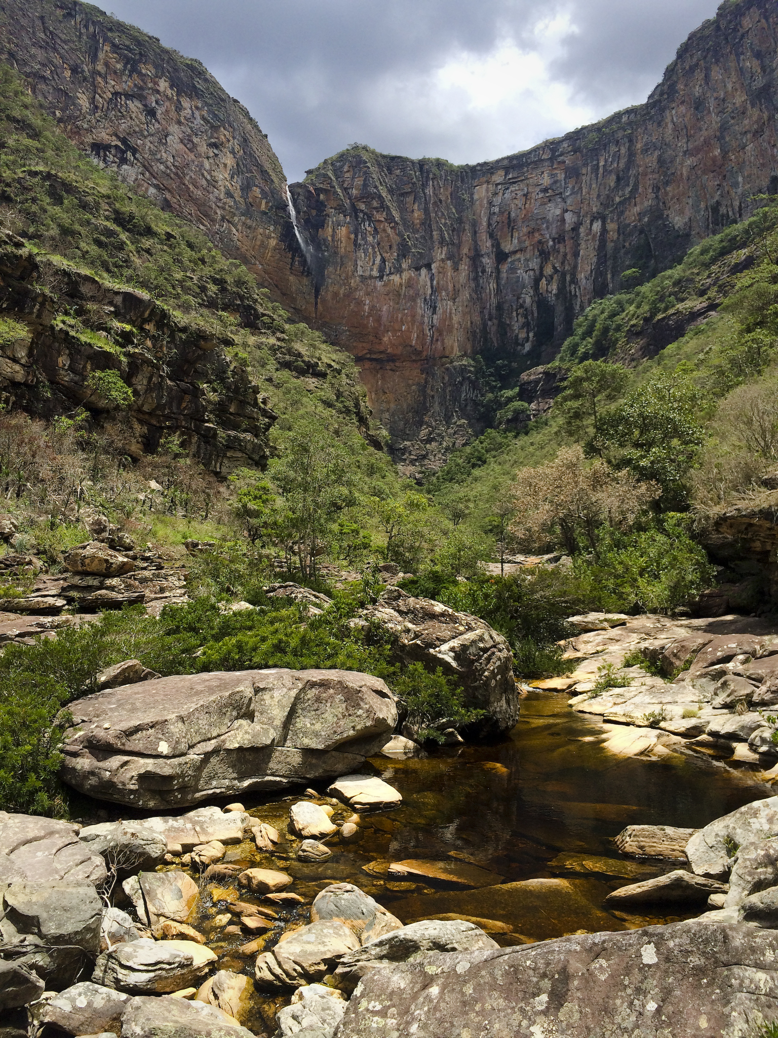 Photo: Andrea Dallevo, CC BY-SA 3.0 (via Wikimedia Commons)
Cachoeira Tabuleiro
~4 min drive
 Photo: Douver Ferreira, CC BY-SA 4.0 (via Wikimedia Commons)
Trilha Poço Cachoeira Tabuleiro
~4 min drive
 Photo: Fábio Martins Hayashi, CC BY-SA 3.0 (via Wikimedia Commons)
Pico da Lapinha
~11 min drive
 Photo: Paulo JC Nogueira, CC BY-SA 3.0 (via Wikimedia Commons)
Prainha da Lagoa Santa 1
~1h 15m drive
Conditions and forecast
Daily highs and lows, wind and the chance of precipitation at Dona Maria for the next 7 days, from the Open-Meteo model.
Map and trail data © OpenStreetMap contributors
