Tarong National Park
- Queensland Department of National Parks, Sport and Racing
- managed by
- Mar–Jan
- best months
Tarong National Park is a national park in Queensland, Australia, covering about 3,700 acres (15 km²). The nearest town is Maidenwell, about 2.8 miles east of the park's centre. The boundary comes from OpenStreetMap. Check the park's own rules, fees and opening hours before you go.
Conditions and forecast
Daily highs and lows, wind and the chance of precipitation at Tarong National Park for the next 7 days, from the Open-Meteo model.
Park size
3,747 acres
 The Palms National ParkState park · ~11 min drivePhoto: Allan Henderson, CC BY 2.0 (via Wikimedia Commons)
 Bunya Mountains National ParkState park · ~27 min drivePhoto: Tatters:) on Flickr, CC BY 2.0 (via Wikimedia Commons)
 Bunya Mountains Conservation ParkState park · ~27 min drivePhoto: JustThatNerdyNerd, CC BY-SA 4.0 (via Wikimedia Commons)
 Crows Nest National ParkState park · ~1h 3m drivePhoto: Tatiana Gerus from Brisbane, Australia, CC BY 2.0 (via Wikimedia Commons)
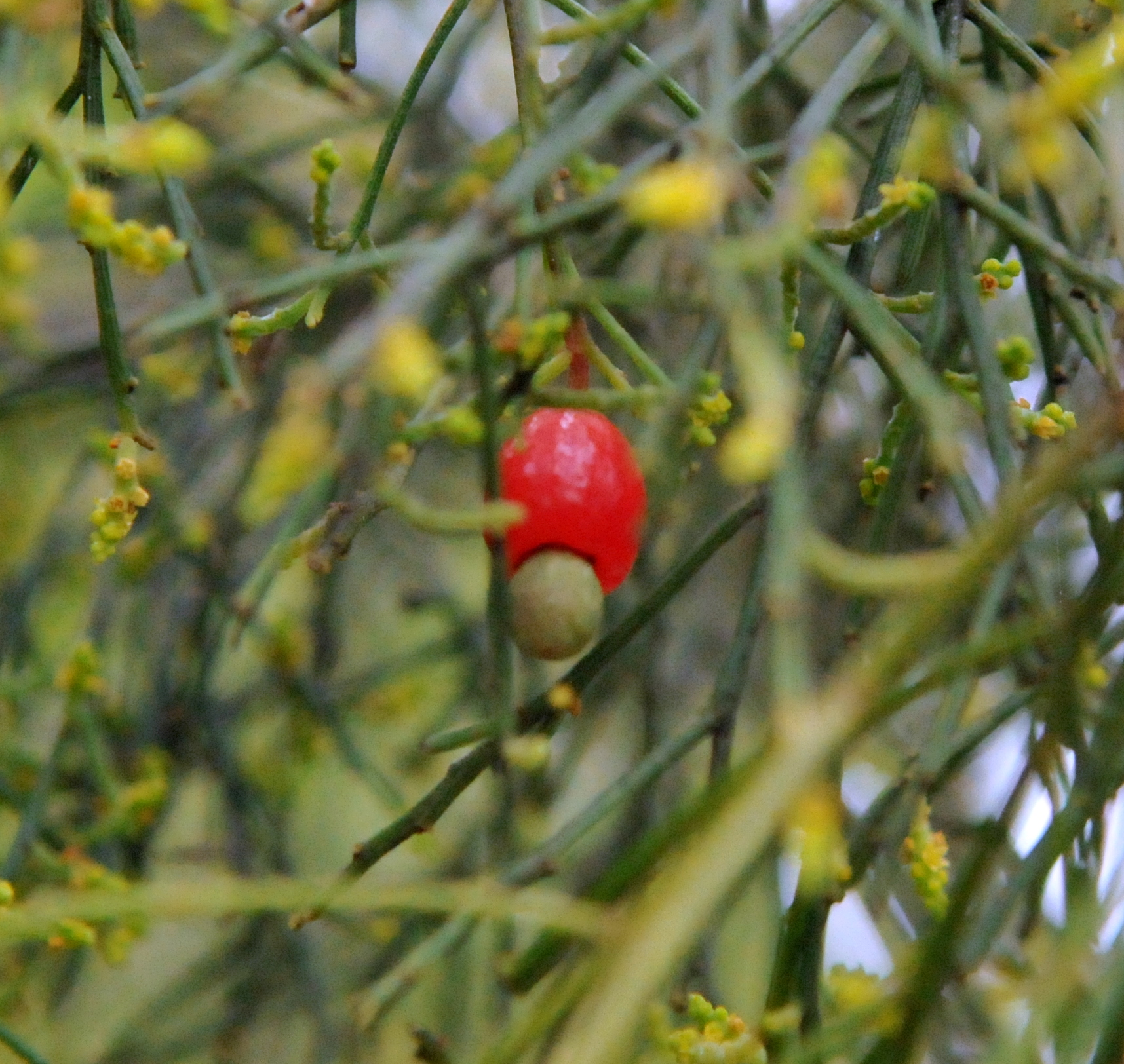 Geham National ParkState park · ~1h 8m drivePhoto: Mikeybear, CC BY-SA 3.0 (via Wikimedia Commons)
 Ravensbourne National ParkState park · ~1h 13m drivePhoto: Shiftchange, CC0 (via Wikimedia Commons)
 Highfields Falls Bushland ReserveState park · ~1h 16m drivePhoto: Unknown authorUnknown author, CC BY 4.0 (via Wikimedia Commons)
- Pidna National ParkState park · ~15 min drive
- Glen-Ewin Nature RefugeState park · ~19 min drive
- Mount Binga National ParkState park · ~26 min drive
Also worth it near here
 The Palms CircuitHiking · ~12 min drivePhoto: Allan Henderson, CC BY 2.0 (via Wikimedia Commons)
 Kumbia Caravan ParkCamping · ~27 min drivePhoto: Kerry Raymond, CC BY 4.0 (via Wikimedia Commons)
 Tim Shea FallsWaterfall · ~27 min drivePhoto: JustThatNerdyNerd, CC BY-SA 4.0 (via Wikimedia Commons)
 Mount KiangarowSummit · ~31 min drivePhoto: Tatters ✾ from Brisbane, Australia, CC BY-SA 2.0 (via Wikimedia Commons)
Best time to visit Tarong National Park
Best months: March–January. Best months have typical highs of 55–85 °F, lows of 30 °F or warmer (32 °F where there's no snowfall data), at most one snowy day and no more than 12 wet days.
Jan
83° / 64°
12 wet
Feb
81° / 64°
15 wet
Mar
78° / 61°
12 wet
Apr
73° / 56°
11 wet
May
68° / 51°
12 wet
Jun
62° / 46°
8 wet
Jul
62° / 44°
7 wet
Aug
65° / 45°
7 wet
Sep
72° / 50°
7 wet
Oct
76° / 55°
10 wet
Nov
79° / 59°
11 wet
Dec
82° / 62°
12 wet
Typical high / low (°F) and days with rain or snow, 1981–2010. Modelled for the 1 km square this place sits in (average height 1,781 ft), not measured at a weather station. We don't have this place's elevation, so higher spots nearby can run cooler. Snowfall days aren't in this data. Source: CHELSA 1 km climate model (1981–2010) and CRU TS 4.09 wet days. Data: CHELSA V2.1 climatologies (Karger et al. 2017), WSL (CC0 1.0); CRU TS 4.09 (Harris et al. 2020), University of East Anglia Climatic Research Unit. Contains public sector information licensed under the Open Government Licence v3.0. (Open Government Licence v3.0).
Map and trail data © OpenStreetMap contributors
