Eumundi Conservation Park
- Queensland Department of National Parks, Sport and Racing
- managed by
- Apr–Jan
- best months
Eumundi Conservation Park is a protected natural area in Queensland, Australia, covering about 1,200 acres (5 km²). The nearest town is Eumundi, about 3.1 miles southeast of the park's centre. The boundary comes from OpenStreetMap. Check the park's own rules, fees and opening hours before you go.
Conditions and forecast
Daily highs and lows, wind and the chance of precipitation at Eumundi Conservation Park for the next 7 days, from the Open-Meteo model.
Park size
1,225 acres
 Parklands Conservation ParkState park · ~10 min drivePhoto: Ché Lydia Xyang, CC BY-SA 3.0 (via Wikimedia Commons)
 Mount Coolum National ParkState park · ~12 min drivePhoto: albinfo, CC BY-SA 3.0 (via Wikimedia Commons)
 Mount Coolum Environment ReserveState park · ~12 min drivePhoto: Cynthia O'Gorman, CC BY 4.0 (via Wikimedia Commons)
 Yaroomba Coolum Foreshore ReserveState park · ~13 min drivePhoto: Ryanlerch, CC BY-SA 4.0 (via Wikimedia Commons)
 Yaroomba Bushland ParkState park · ~13 min drivePhoto: David Minty, CC BY 2.0 (via Wikimedia Commons)
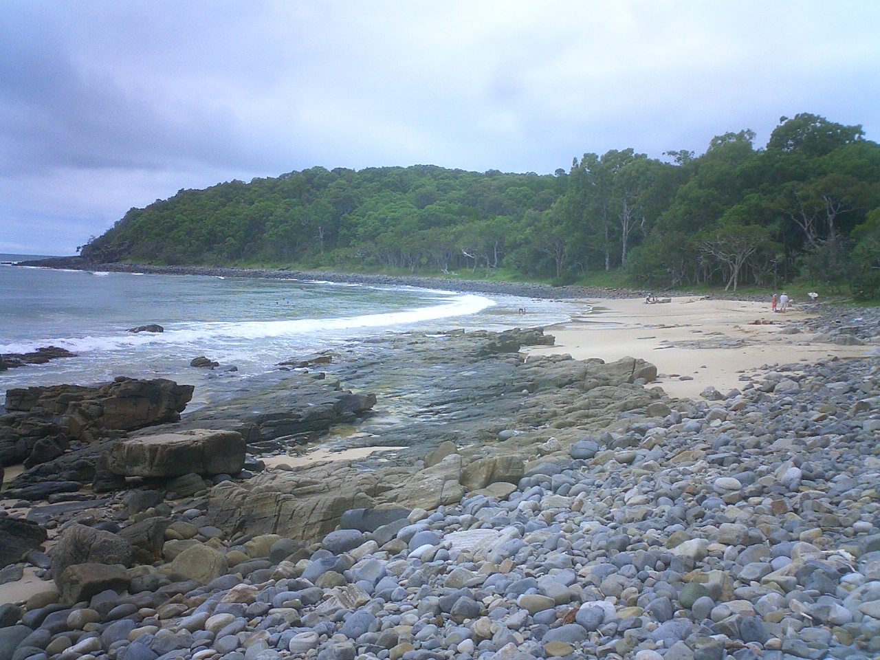 Noosa National ParkState park · ~14 min drivePhoto: No machine-readable author provided. RaffiKojian assumed (based on copyright claims)., CC BY 2.5 (via Wikimedia Commons)
- Gooungalba Nature RefugeState park · Next door
- Mount Ninderry Nature RefugeState park · ~5 min drive
- Verrierdale Rise Nature RefugeState park · ~5 min drive
- Doonan Creek Environment ReserveState park · ~8 min drive
Also worth it near here
 Mount NinderrySummit · ~5 min drivePhoto: Andy Hay, CC BY 2.0 (via Wikimedia Commons)
 Eumundi Showgrounds StopoverCamping · ~6 min drivePhoto: (c) Bruce Cathie, some rights reserved (CC BY), CC BY 4.0 (via Wikimedia Commons)
 Wappa FallsWaterfall · ~9 min drivePhoto: Mountain Ash, CC BY-SA 3.0 (via Wikimedia Commons)
 Mount Tinbeerwah lookout walkHiking · ~14 min drivePhoto: Sue Allen, CC BY-SA 3.0 (via Wikimedia Commons)
Best time to visit Eumundi Conservation Park
Best months: April–January. Best months have typical highs of 55–85 °F, lows of 30 °F or warmer (32 °F where there's no snowfall data), at most one snowy day and no more than 12 wet days.
Jan
83° / 71°
12 wet
Feb
81° / 71°
15 wet
Mar
79° / 68°
13 wet
Apr
75° / 64°
11 wet
May
71° / 59°
12 wet
Jun
67° / 54°
8 wet
Jul
66° / 52°
7 wet
Aug
69° / 53°
7 wet
Sep
75° / 58°
7 wet
Oct
78° / 62°
10 wet
Nov
79° / 65°
11 wet
Dec
82° / 69°
12 wet
Typical high / low (°F) and days with rain or snow, 1981–2010. Modelled for the 1 km square this place sits in (average height 148 ft), not measured at a weather station. We don't have this place's elevation, so higher spots nearby can run cooler. Snowfall days aren't in this data. Source: CHELSA 1 km climate model (1981–2010) and CRU TS 4.09 wet days. Data: CHELSA V2.1 climatologies (Karger et al. 2017), WSL (CC0 1.0); CRU TS 4.09 (Harris et al. 2020), University of East Anglia Climatic Research Unit. Contains public sector information licensed under the Open Government Licence v3.0. (Open Government Licence v3.0).
Map and trail data © OpenStreetMap contributors
