Berrico Nature Reserve
- NSW National Parks and Wildlife Service
- managed by
- Apr–Oct, Dec–Jan
- best months
Berrico Nature Reserve is a protected natural area in New South Wales, Australia, covering about 2,200 acres (9 km²). The nearest town is Stratford, about 5.6 miles west of the park's centre. The boundary comes from OpenStreetMap. Check the park's own rules, fees and opening hours before you go.
Conditions and forecast
Daily highs and lows, wind and the chance of precipitation at Berrico Nature Reserve for the next 7 days, from the Open-Meteo model.
Park size
2,205 acres
 Ghin-Doo-Ee National ParkState park · ~31 min drivePhoto: JJ Harrison (https://www.jjharrison.com.au/), CC BY 3.0 (via Wikimedia Commons)
 Barrington Tops Flora ReserveState park · ~35 min drivePhoto: Mountain Ash, CC BY-SA 3.0 (via Wikimedia Commons)
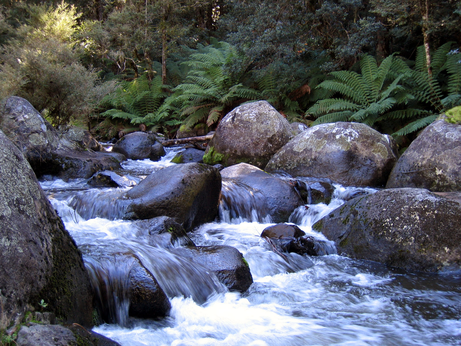 Barrington Tops National ParkState park · ~39 min drivePhoto: DanF at English Wikipedia, Public domain (via Wikimedia Commons)
 Barrington Tops State Conservation AreaState park · ~50 min drivePhoto: Poyt448 Peter Woodard, CC BY-SA 3.0 (via Wikimedia Commons)
- Forestry Management Areas in Chichester (FMZ2) Protected AreaState park · ~11 min drive
- Copeland Tops State Conservation AreaState park · ~17 min drive
- Black Bulga State Conservation AreaState park · ~18 min drive
- The Glen Nature ReserveState park · ~19 min drive
- Killarney Nature ReserveState park · ~22 min drive
- Monkerai Nature ReserveState park · ~26 min drive
Also worth it near here
- Problem Creek Falls Walking TrackHiking · ~14 min drive
 Gloucester River Camping AreaCamping · ~18 min drivePhoto: Doug Beckers from Copacabana, Australia, CC BY-SA 2.0 (via Wikimedia Commons)
 Gloucester FallsWaterfall · ~25 min drivePhoto: Poyt448, Peter Woodard, CC BY-SA 4.0 (via Wikimedia Commons)
 Gloucester TopsSummit · ~25 min drivePhoto: Doug Beckers, CC BY-SA 2.0 (via Wikimedia Commons)
Best time to visit Berrico Nature Reserve
Best months: April–October and December–January. Best months have typical highs of 55–85 °F, lows of 30 °F or warmer (32 °F where there's no snowfall data), at most one snowy day and no more than 12 wet days.
Jan
80° / 61°
11 wet
Feb
78° / 61°
13 wet
Mar
74° / 58°
13 wet
Apr
69° / 52°
11 wet
May
63° / 47°
12 wet
Jun
58° / 43°
11 wet
Jul
57° / 41°
10 wet
Aug
61° / 41°
10 wet
Sep
68° / 46°
10 wet
Oct
72° / 51°
11 wet
Nov
75° / 55°
13 wet
Dec
78° / 59°
11 wet
Typical high / low (°F) and days with rain or snow, 1981–2010. Modelled for the 1 km square this place sits in (average height 1,293 ft), not measured at a weather station. We don't have this place's elevation, so higher spots nearby can run cooler. Snowfall days aren't in this data. Source: CHELSA 1 km climate model (1981–2010) and CRU TS 4.09 wet days. Data: CHELSA V2.1 climatologies (Karger et al. 2017), WSL (CC0 1.0); CRU TS 4.09 (Harris et al. 2020), University of East Anglia Climatic Research Unit. Contains public sector information licensed under the Open Government Licence v3.0. (Open Government Licence v3.0).
Map and trail data © OpenStreetMap contributors
