Camp Coutts Track
- 0.4 mi
- round trip
- 136 ft
- climb
- 723 ft
- high point
- Out and back
- route
- Mar–Oct, Dec–Jan
- best months
Camp Coutts Track is an out-and-back trail, 0.4 miles each way (0.7 miles round trip) in New South Wales, Australia, inside Heathcote National Park. It runs between about 590 ft and 720 ft above sea level, with roughly 140 ft of climbing one way. It is a well-made walking path, fine for most hikers. Most of the way is dirt. The nearest town is Helensburgh, about 3.5 miles north of the trailhead. Peaks within about 3 miles include Mount Westmacott, Mount Morella and Sebastopol. National Falls (Upper Falls) and National Falls are within about 3 miles. For camping, Campsite A and Campsite B are within about 6 miles. There are 19 other mapped trails within about 3 miles, so you can combine or extend the outing. Distances, elevations and the route shape here come from OpenStreetMap and the Copernicus 90 m elevation model. Trails, access rules and conditions change, so check locally before you go.
Conditions and forecast
Daily highs and lows, wind and the chance of precipitation at Camp Coutts Track for the next 7 days, from the Open-Meteo model.
 Couranga TrackHiking · ~1 min drivePhoto: Maurice van Creij, CC BY 3.0 (via Wikimedia Commons)
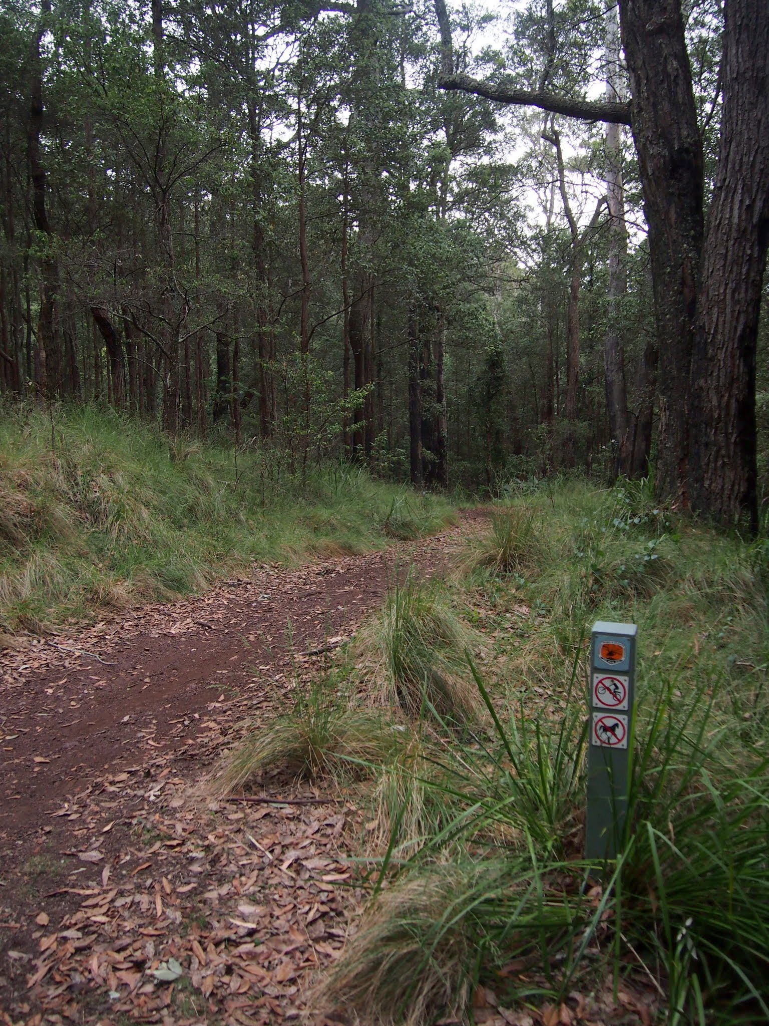 The Burgh TrackHiking · ~5 min drivePhoto: Maurice van Creij, CC BY 3.0 (via Wikimedia Commons)
 Engadine TrackHiking · ~8 min drivePhoto: Maurice van Creij, CC BY 3.0 (via Wikimedia Commons)
 The Burgh TrackHiking · ~4 min drivePhoto: Maurice van Creij, CC BY 3.0 (via Wikimedia Commons)
- Mooray TrackHiking · ~3 min drive
- Eddies Lookout TrackHiking · ~7 min drive
 Uloola TrackHiking · ~6 min drivePhoto: Maurice van Creij, CC BY 3.0 (via Wikimedia Commons)
- Lake Eckersley TrackHiking · ~5 min drive
- Princess Marina TrackHiking · ~9 min drive
 Wattle Forest TrackHiking · ~9 min drivePhoto: M K, CC BY-SA 3.0 (via Wikimedia Commons)
Also worth it near here
 National Falls (Upper Falls)Waterfall · ~3 min drivePhoto: Kytabu, CC BY-SA 4.0 (via Wikimedia Commons)
 Uloola Falls Bush CampgroundCamping · ~6 min drivePhoto: Maurice van Creij, CC BY 3.0 (via Wikimedia Commons)
 Red BluffSummit · ~8 min drivePhoto: John Tann from Sydney, Australia, CC BY 2.0 (via Wikimedia Commons)
Best time to visit Camp Coutts Track
Best months: March–October and December–January. Best months have typical highs of 55–85 °F, lows of 30 °F or warmer (32 °F where there's no snowfall data), at most one snowy day and no more than 12 wet days.
Jan
76° / 66°
12 wet
Feb
75° / 66°
13 wet
Mar
72° / 63°
12 wet
Apr
68° / 59°
10 wet
May
63° / 54°
10 wet
Jun
59° / 49°
11 wet
Jul
58° / 47°
9 wet
Aug
60° / 48°
9 wet
Sep
64° / 51°
10 wet
Oct
68° / 55°
12 wet
Nov
70° / 59°
14 wet
Dec
74° / 63°
12 wet
Typical high / low (°F) and days with rain or snow, 1981–2010. Modelled for the 1 km square this place sits in (average height 568 ft), not measured at a weather station. Snowfall days aren't in this data. Source: CHELSA 1 km climate model (1981–2010) and CRU TS 4.09 wet days. Data: CHELSA V2.1 climatologies (Karger et al. 2017), WSL (CC0 1.0); CRU TS 4.09 (Harris et al. 2020), University of East Anglia Climatic Research Unit. Contains public sector information licensed under the Open Government Licence v3.0. (Open Government Licence v3.0).
Map and trail data © OpenStreetMap contributors
