Wanderweg 851
A 1.3-mile point-to-point route in Styria, Austria.
- 1.3 mi
- one way
- 525 ft
- climb
- 6,332 ft
- high point
- Point to point
- route
Wanderweg 851 is a 1.3-mile point-to-point route in Styria, Austria. It runs between about 5,760 ft and 6,330 ft above sea level, with roughly 520 ft of climbing one way. It is mapped as a named hiking route, with the sections joined into one trail here. The nearest town is Sankt Ilgen, about 4.6 miles north of the trailhead. Peaks within about 3 miles include G'hacktstein, G'hacktkogel and Hochschwab. There are 13 other mapped trails within about 3 miles, so you can combine or extend the outing. Distances, elevations and the route shape here come from OpenStreetMap and the Copernicus 90 m elevation model. Trails, access rules and conditions change, so check locally before you go.
Keep exploring — more trails worth the drive
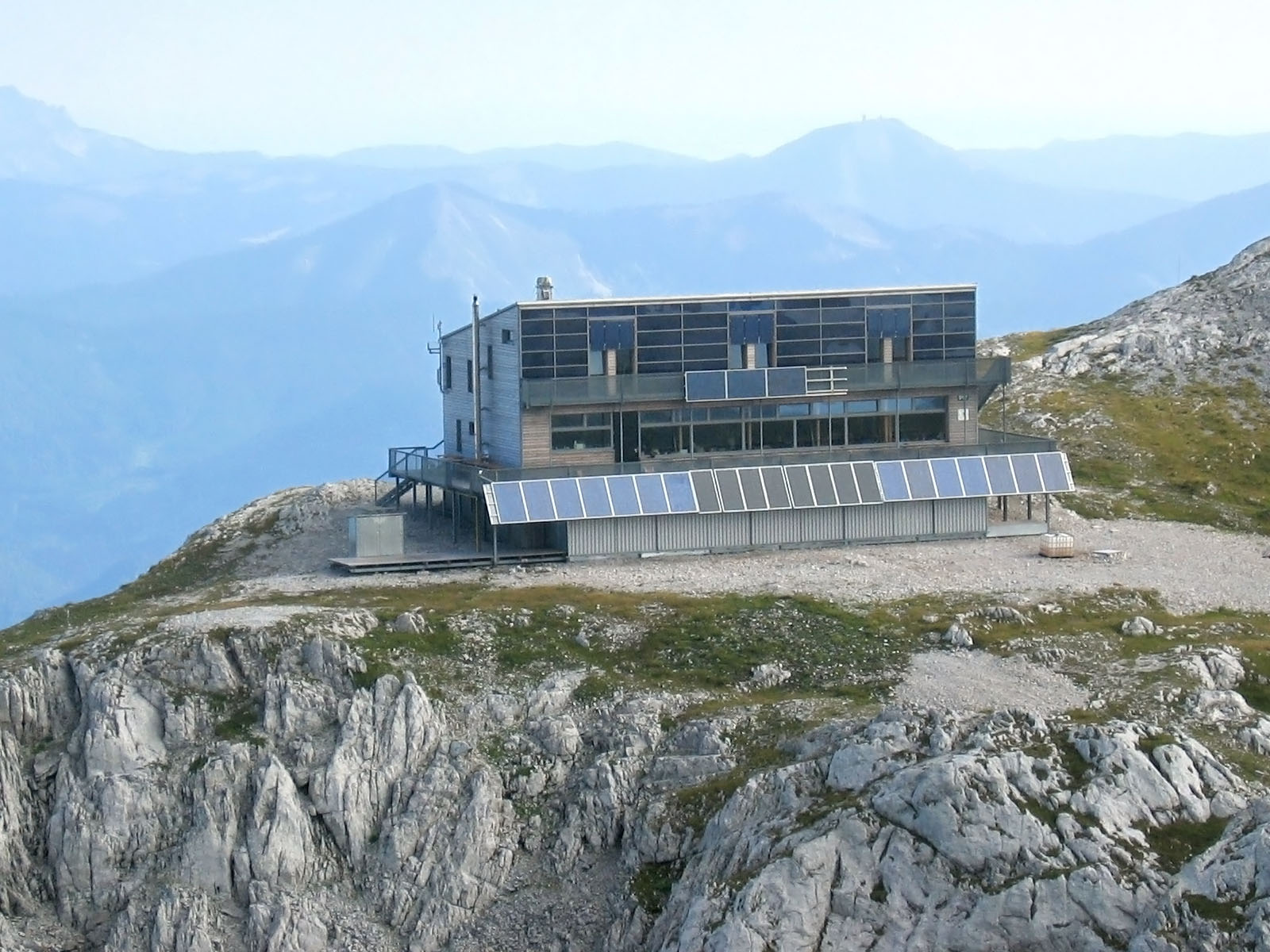
 Photo: Schreckgespenst, CC BY-SA 4.0 (via Wikimedia Commons)
Riegerin-Steig
~7 min drive
A 2.3-mile point-to-point route in Styria, Austria.
Wanderweg 852
~3 min drive
A 5.7-mile point-to-point route in Styria, Austria.
Weittal (II)
~3 min drive
An out-and-back trail, 0.6 miles each way (1.2 miles round trip) in Styria, Austria.
Wallmerinsteig
~4 min drive
An out-and-back trail, 1.7 miles each way (3.5 miles round trip) in Styria, Austria.
Törl
~6 min drive
An out-and-back trail, 0.3 miles each way (0.7 miles round trip) in Styria, Austria.
Bogenkar
~1 min drive
An out-and-back trail, 0.4 miles each way (0.8 miles round trip) in Styria, Austria.
Jägermayer-Steig
~3 min drive
A 1.3-mile point-to-point route in Styria, Austria.
Reitsteig
~5 min drive
An out-and-back trail, 0.7 miles each way (1.3 miles round trip) in Styria, Austria.
Kalvarienbergweg
~8 min drive
An out-and-back trail, 0.4 miles each way (0.7 miles round trip) in Styria, Austria.
Ochsensteig
~3 min drive
A 4.1-mile point-to-point route in Styria, Austria.

Conditions and forecast
Daily highs and lows, wind and the chance of precipitation at Wanderweg 851 for the next 7 days, from the Open-Meteo model.
Map and trail data © OpenStreetMap contributors
