Kammerer Grundalm Tour
- 4.3 mi
- one way
- 1,525 ft
- climb
- Point to point
- route
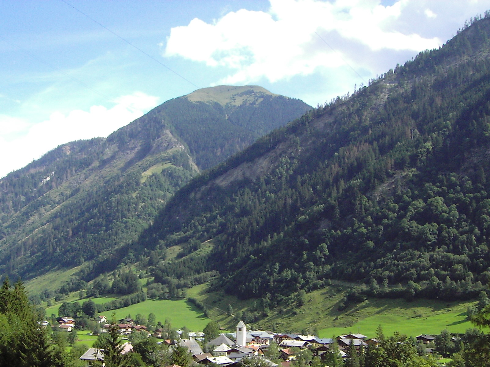
Kammerer Grundalm Tour is a 4.3-mile mountain bike trail in Salzburg, Austria. It runs between about 2,640 ft and 4,610 ft above sea level, with roughly 1,520 ft of climbing one way. It is mapped as a named route, with its sections joined into one trail here. The nearest town is Fusch an der Großglocknerstraße, about 1.9 miles east of the start. Peaks within about 3 miles include Stolzkopf, Schafelkopf and Langweidkogel. Sulzbachfall and Hirzbachwasserfälle are within about 3 miles. For camping, Lampenhäusl Camping and Panorama Camp are within about 6 miles. There are 4 other mapped trails within about 3 miles, so you can combine or extend the outing. Distances, elevations and the trail shape here come from OpenStreetMap and the Copernicus 90 m elevation model. Trail access for bikes, closures and conditions change, so check locally before you ride.
Keep exploring — more rides worth the drive
 Photo: Chmee2, CC BY 3.0 (via Wikimedia Commons)
Thumersbach - Hundstein
~12 min drive
A 4.2-mile mountain bike trail in Salzburg, Austria.
RIDE
Thannberg
~7 min drive
An out-and-back mountain bike trail in Salzburg, Austria.
RIDE
Salzachpromenade
~11 min drive
An out-and-back mountain bike trail in Salzburg, Austria.
RIDE
Steiner-Almweg
~19 min drive
An out-and-back mountain bike trail in Salzburg, Austria.
RIDE
Sepp-Poesie-Waldweg
~17 min drive
An out-and-back mountain bike trail in Salzburg, Austria.
 Photo: Schermy, CC0 (via Wikimedia Commons)
Verbindung Bad Hofgastein - Stubnerkogelgipfel
~21 min drive
A 3.8-mile mountain bike trail in Salzburg, Austria.
RIDE
Erlhofalm
~7 min drive
A 6.9-mile mountain bike trail in Salzburg, Austria.
RIDE
Schmittenweg
~17 min drive
An out-and-back mountain bike trail in Salzburg, Austria.
RIDE
Flow-One-Trail
~21 min drive
A 1.9-mile mountain bike trail in Salzburg, Austria.
RIDE
Bad Fusch - Embach Hochalm
~3 min drive
A 5.2-mile mountain bike trail in Salzburg, Austria.

Conditions and forecast
Daily highs and lows, wind and the chance of precipitation at Kammerer Grundalm Tour for the next 7 days, from the Open-Meteo model.
Map and trail data © OpenStreetMap contributors
