Meloner Au
 Photo: Stefan.lefnaer, CC BY-SA 3.0 (via Wikimedia Commons)
Meloner Au is a protected natural area in Lower Austria, Austria, covering about 400 acres (2 km²). The nearest town is Dietrichsbach, about 1.1 miles northeast of the park's centre. It was established in 1992. It is classed as a nature reserve. It is managed as an IUCN category IV protected area. These details come from Wikidata. The boundary comes from OpenStreetMap. Check the park's own rules, fees and opening hours before you go.
Conditions and forecast
Daily highs and lows, wind and the chance of precipitation at Meloner Au for the next 7 days, from the Open-Meteo model.
Park size
403 acres
 Stodůlecký vrchState park · ~25 min drivePhoto: Dezidor, CC BY 3.0 (via Wikimedia Commons)
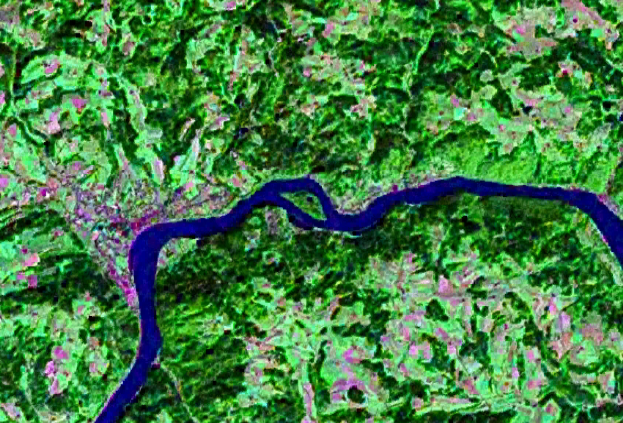 WörthState park · ~27 min drivePhoto: NASA, Public domain (via Wikimedia Commons)
 PR Pivonické skályState park · ~30 min drivePhoto: Chmee2, CC BY-SA 4.0 (via Wikimedia Commons)
 národní přírodní rezervace Žofínský pralesState park · ~31 min drivePhoto: Karelj, Public domain (via Wikimedia Commons)
 Naturpark BlockheideState park · ~38 min drivePhoto: Funke, CC BY-SA 4.0 (via Wikimedia Commons)
 PR Krabonošská nivaState park · ~41 min drivePhoto: Atriplexmedia, CC BY-SA 3.0 (via Wikimedia Commons)
 Naturpark Hochmoor SchremsState park · ~42 min drivePhoto: Stefan.lefnaer, CC BY-SA 4.0 (via Wikimedia Commons)
 GemeindeauState park · ~49 min drivePhoto: Stefan.lefnaer, CC BY-SA 3.0 (via Wikimedia Commons)
 Naturpark Heidenreichsteiner MoorState park · ~49 min drivePhoto: Duke of W4, CC BY-SA 3.0 at (via Wikimedia Commons)
 Naturpark Kamptal-SchönbergState park · ~59 min drivePhoto: Isiwal, CC BY-SA 4.0 (via Wikimedia Commons)
Also worth it near here
- MTB Wachtelhof-StreckeMountain biking · ~2 min drive
 GalgenbergSummit · ~4 min drivePhoto: Duke of W4, CC BY-SA 4.0 (via Wikimedia Commons)
- Zeltplatz Goldenes HerzCamping · ~5 min drive
 LohnbachfallWaterfall · ~7 min drivePhoto: Duke of W4, CC BY-SA 3.0 (via Wikimedia Commons)
- Furt 47Boat launch · ~8 min drive
Best time to visit Meloner Au
No month here meets our mild-weather rule. Best months have typical highs of 55–85 °F, lows of 30 °F or warmer (32 °F where there's no snowfall data), at most one snowy day and no more than 12 wet days.
Jan
32° / 21°
12 wet
Feb
34° / 21°
12 wet
Mar
41° / 27°
14 wet
Apr
51° / 34°
13 wet
May
59° / 43°
15 wet
Jun
64° / 49°
16 wet
Jul
68° / 52°
15 wet
Aug
67° / 53°
14 wet
Sep
60° / 46°
13 wet
Oct
51° / 39°
12 wet
Nov
40° / 30°
13 wet
Dec
33° / 23°
15 wet
Typical high / low (°F) and days with rain or snow, 1981–2010. Modelled for the 1 km square this place sits in (average height 2,923 ft), not measured at a weather station. We don't have this place's elevation, so higher spots nearby can run cooler. Snowfall days aren't in this data. Source: CHELSA 1 km climate model (1981–2010) and CRU TS 4.09 wet days. Data: CHELSA V2.1 climatologies (Karger et al. 2017), WSL (CC0 1.0); CRU TS 4.09 (Harris et al. 2020), University of East Anglia Climatic Research Unit. Contains public sector information licensed under the Open Government Licence v3.0. (Open Government Licence v3.0).
Map and trail data © OpenStreetMap contributors
