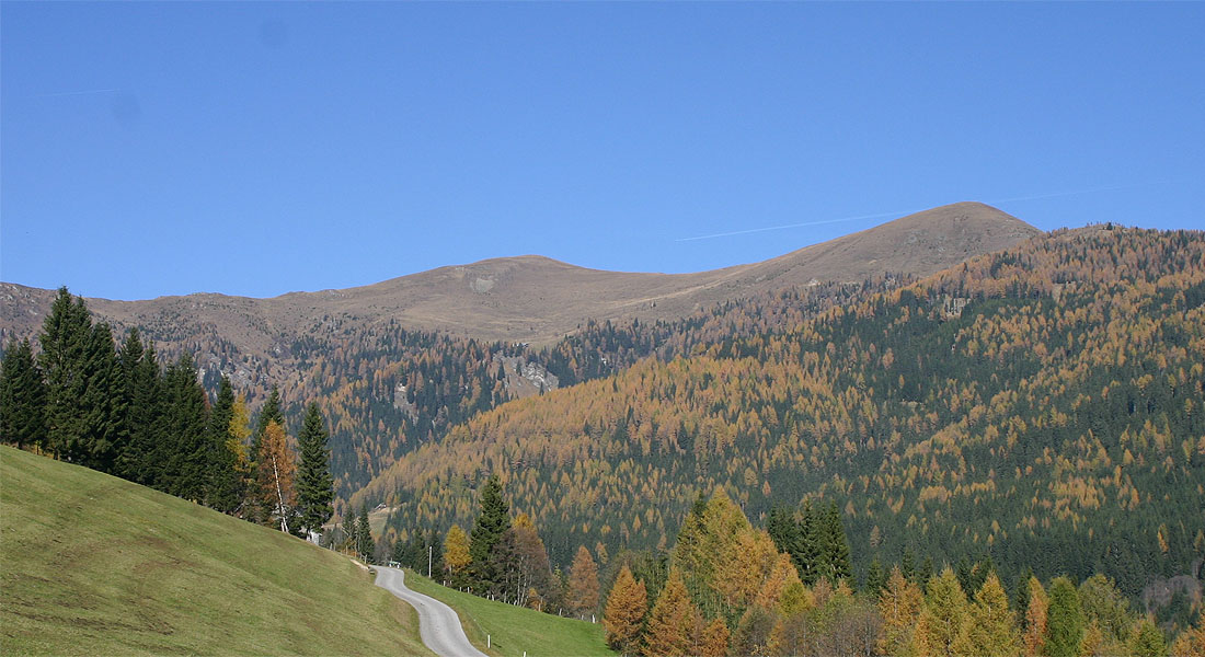
Wöllaner Nock
About
Wöllaner Nock is a mountain in Carinthia, Austria, with its summit at about 7,040 ft (2,145 m) above sea level. Mapped trails that come within about half a mile of the top include Weg des Buches - Etappe 4, Wanderweg 167 and Alpe Adria Trail E17. The nearest town is Zirkitzen, about 2.7 miles south of the summit. Peaks within about 3 miles include Pfaffeneck, Kaiserburg and Vorderer Wöllaner Nock. For camping, Camping Glinzner and Camping Altseewirth are within about 6 miles. The location and elevation come from OpenStreetMap and the Copernicus 90 m elevation model. Check local access rules and conditions before you go.
Summit Facts
Summit elevation
7,037 ft
Location
Wöllaner Nock
Carinthia
Data © OpenStreetMap contributors, available under the Open Database License (ODbL). View or edit on OpenStreetMap.
Conditions and forecast
Daily highs and lows, wind and the chance of precipitation at Wöllaner Nock for the next 7 days, from the Open-Meteo model.
Plan this with Roamze
Tell Roamze when you're going and who's coming. It plans the days, gear and food around this place.
Map and trail data © OpenStreetMap contributors
