Schwimmbad Camping Mössler
A campground in Carinthia, Austria.
- At 1,963 ft
Schwimmbad Camping Mössler is a campground in Carinthia, Austria, at about 1,960 ft above sea level. OpenStreetMap lists toilets, drinking water and electric hookups. Camping here is paid. It has about 200 sites. Trails within about a mile include Alpe Adria Trail E14, Wanderweg 188 (Döbriach - Mirnock) and Alpe Adria Trail E13. It is on the edge of Döbriach. Peaks within about 3 miles include Geißriegel, Kolm and Matzelsdorfer Berg. For camping, Falkencamp Döbriach and Camping Burgstaller are within about 6 miles. The location and elevation come from OpenStreetMap and the Copernicus 90 m elevation model. Check local access rules and conditions before you go.
Keep exploring — more campsites worth the drive
 Photo: Mefusbren69, Public domain (via Wikimedia Commons)
Terassencamping Pesenthein
~5 min drive
A campground in Carinthia, Austria.
 Photo: Benutzer:papa1234, CC BY-SA 3.0 (via Wikimedia Commons)
Lammersdorfer Hütte
~5 min drive
A mountain hut in Carinthia, Austria.
Falkencamp Döbriach
~0 min drive
A campground in Carinthia, Austria.
 Photo: Schreckgespenst, CC BY-SA 4.0 (via Wikimedia Commons)
Gingerhütte
~6 min drive
A mountain hut in Carinthia, Austria.
Camping Burgstaller
~0 min drive
A campground in Carinthia, Austria.
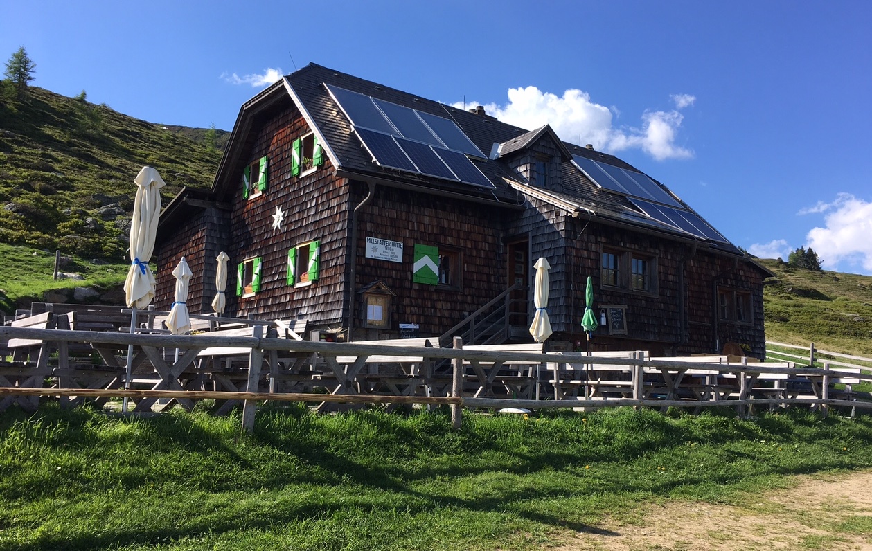 Photo: Naturpuur, CC BY 4.0 (via Wikimedia Commons)
Millstätter Hütte 1880 m
~10 min drive
A mountain hut in Carinthia, Austria.
Seecamping Mössler
~1 min drive
A campground in Carinthia, Austria.
 Photo: Naturpuur, CC BY-SA 4.0 (via Wikimedia Commons)
Schwarzseehütte
~12 min drive
A mountain hut in Carinthia, Austria.
Camping Brunner
~1 min drive
A campground in Carinthia, Austria.
Hochalmhütte
~4 min drive
A mountain hut in Carinthia, Austria.
Also worth it near here
T.25 "Sternentrail"
~2 min drive
 Photo: Schreckgespenst, CC BY-SA 4.0 (via Wikimedia Commons)
Bodeneck
~4 min drive
 Photo: sony@100, CC BY 3.0 (via Wikimedia Commons)
Wanderweg 187 (Döbriach - Mirnock)
~5 min drive
 Photo: Naturpuur, CC BY-SA 4.0 (via Wikimedia Commons)
Herzogfall
~8 min drive
 Photo: Naturpuur, CC BY 4.0 (via Wikimedia Commons)
Freier Seezugang Afritzer See Am Nordufer
~9 min drive
Conditions and forecast
Daily highs and lows, wind and the chance of precipitation at Schwimmbad Camping Mössler for the next 7 days, from the Open-Meteo model.
Map and trail data © OpenStreetMap contributors
