Hochstadelhaus
- At 5,840 ft
Hochstadelhaus is a mountain hut in Carinthia, Austria, at about 5,840 ft (1,780 m) above sea level. Trails within about a mile include Jägersteig Zabrat Leitersteig and Rudnigweg. The nearest town is Unterpirkach, about 1.7 miles west of the hut. Peaks within about 3 miles include Wiesenspitze, Rosengarten and Beim Grenzstein. Frauenbach Wasserfall is within about 3 miles. For camping, Natur- & Familiencamping Marktgemeinde Oberdrauburg and Camping Seewiese are within about 6 miles. The location and elevation come from OpenStreetMap and the Copernicus 90 m elevation model. Check local access rules and conditions before you go.
Conditions and forecast
Daily highs and lows, wind and the chance of precipitation at Hochstadelhaus for the next 7 days, from the Open-Meteo model.
 Anna-SchutzhausHut camping · ~8 min drivePhoto: Herzi Pinki, CC BY-SA 4.0 (via Wikimedia Commons)
 Panorama Camping LesachtalCamping · ~10 min drivePhoto: Neithan90, Public domain (via Wikimedia Commons)
 DolomitenhütteHut camping · ~9 min drivePhoto: Ирина Шатова, CC BY-SA 4.0 (via Wikimedia Commons)
 Dolomiten Camping AmlacherhofCamping · ~12 min drivePhoto: Michael Kranewitter, CC BY-SA 4.0 (via Wikimedia Commons)
 Hugo-Gerbers-HütteHut camping · ~13 min drivePhoto: Herzi Pinki, CC BY-SA 4.0 (via Wikimedia Commons)
 Alpencamp Kärnten(Kötschach-Mauthen)Camping · ~13 min drivePhoto: Hangman'sDeath, CC0 (via Wikimedia Commons)
 HochsteinhütteHut camping · ~17 min drivePhoto: Steffen 962, CC BY-SA 4.0 (via Wikimedia Commons)
 Lesachtal Camping, Maria LuggauCamping · ~14 min drivePhoto: Neithan90, Public domain (via Wikimedia Commons)
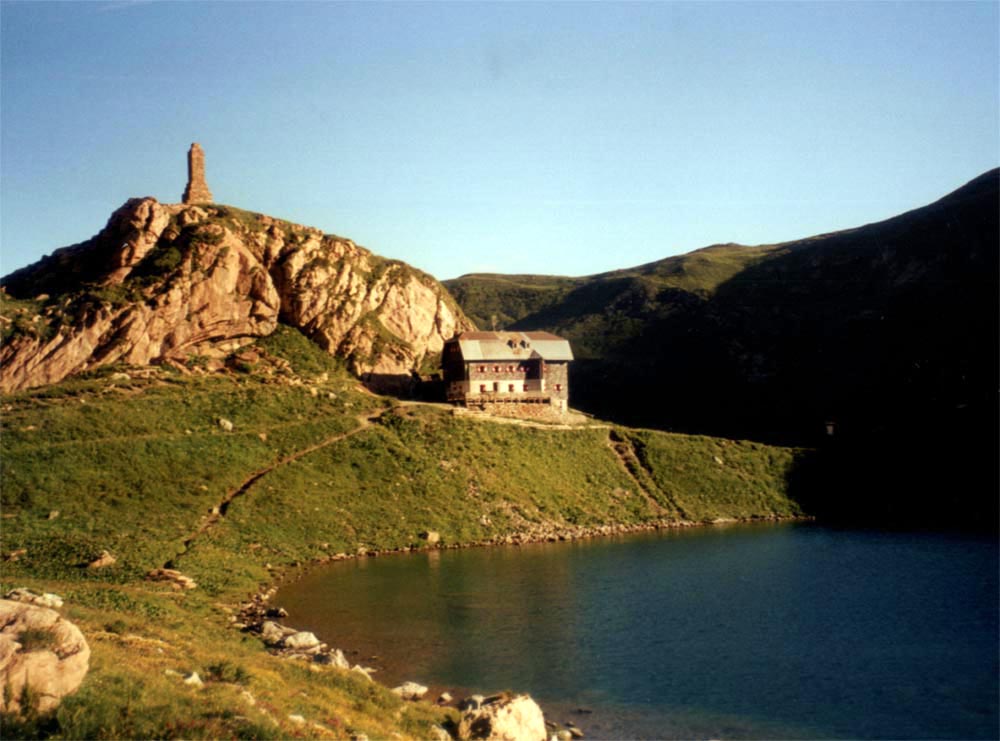 WolayerseehütteHut camping · ~17 min drivePhoto: Herzi Pinki, CC BY 2.5 (via Wikimedia Commons)
- Natur- & Familiencamping Marktgemeinde OberdrauburgCamping · ~7 min drive
Also worth it near here
 HochstadelSummit · ~3 min drivePhoto: Mihael Grmek, CC BY-SA 3.0 (via Wikimedia Commons)
 Frauenbach WasserfallWaterfall · ~4 min drivePhoto: Muck, CC BY-SA 4.0 (via Wikimedia Commons)
 Karlsbader HütteMountain biking · ~7 min drivePhoto: Branislav Knappek branci, CC0 (via Wikimedia Commons)
 Rudl-Eller-WegHiking · ~9 min drivePhoto: Muck, CC BY-SA 4.0 (via Wikimedia Commons)
- SonnenloipeCross-country skiing · ~11 min drive
Map and trail data © OpenStreetMap contributors
