Reserva Natural Estricta Cerro Capilla
- Administración Parques Nacionales
- managed by
- Nov–Mar
- best months
Reserva Natural Estricta Cerro Capilla is a protected natural area in Río Negro, Argentina, covering about 40,600 acres (164 km²). There are 1 mapped trails inside it, including Cerro Capilla. Its peaks include Cerro Capilla, Cerro Ljungner and Cerro del Sombrero. Elevations inside the park range from about 2,540 ft to 6,940 ft. The nearest town is Colonia Suiza, about 10 miles west of the park's centre. In a typical February, the warmest month, highs reach about 66°F (19°C) and lows about 46°F (8°C); in July, the coldest, highs are about 38°F (3°C) and lows about 30°F (-1°C). Precipitation falls on about 14 days in June, the wettest month, and about 5 days in January, the driest. These typical figures for 1981–2010 come from the CHELSA 1 km climate model and CRU TS 4.09. The boundary comes from OpenStreetMap. Check the park's own rules, fees and opening hours before you go.
Conditions and forecast
Daily highs and lows, wind and the chance of precipitation at Reserva Natural Estricta Cerro Capilla for the next 7 days, from the Open-Meteo model.
Park size
40,617 acres
 Parque Municipal Llao LlaoState park · ~13 min drivePhoto: (c) Gonzalo González Mora, some rights reserved (CC BY), CC BY 4.0 (via Wikimedia Commons)
 Parque Nacional Los ArrayanesState park · ~33 min drivePhoto: user:Alfonso", CC BY-SA 3.0 (via Wikimedia Commons)
 Parque Nacional Vicente Pérez RosalesState park · ~42 min drivePhoto: Ruben Lohaus Brito, CC BY-SA 2.5 (via Wikimedia Commons)
 Parque Nacional Nahuel HuapiState park · ~43 min drivePhoto: Klaus 15, CC BY-SA 2.5 (via Wikimedia Commons)
 Parque Nacional PuyehueState park · ~1h drivePhoto: Tae Sandoval Murgan, CC BY-SA 2.0 (via Wikimedia Commons)
 Paisaje Protegido Río LimayState park · ~1h 5m drivePhoto: user:idobi, CC BY-SA 3.0 (via Wikimedia Commons)
 Reserva Nacional LlanquihueState park · ~1h 17m drivePhoto: Camilo Vargas A., CC BY-SA 3.0 (via Wikimedia Commons)
- Reserva Natural Urbana Las CartasState park · ~15 min drive
- Reserva Natural Urbana Lago Morenito - Laguna EzquerraState park · ~18 min drive
- Reserva Natural Urbana Laguna El TrébolState park · ~20 min drive
Also worth it near here
- Cascada FreyWaterfall · ~7 min drive
 Cerro LópezSummit · ~12 min drivePhoto: Diego Rivera, Argentina., CC BY 2.5 (via Wikimedia Commons)
 Camping San Martin JakobCamping · ~17 min drivePhoto: McKay Savage from London, UK, CC BY 2.0 (via Wikimedia Commons)
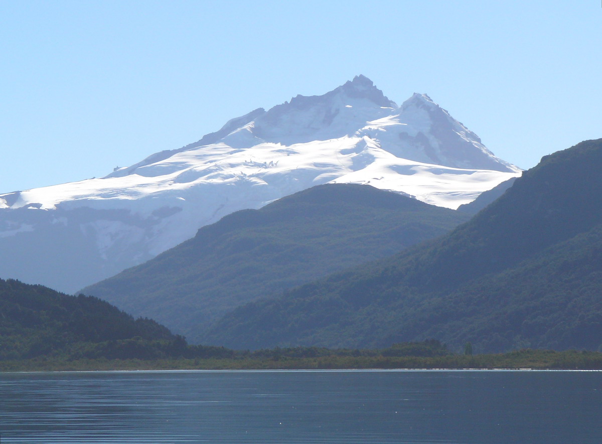 Tronador: Sendero Refugio Otto Meiling to 10,100 ft (from Pampa Linda)Mountaineering · ~17 min drivePhoto: Wernerluis, CC BY-SA 4.0 (via Wikimedia Commons)
 Playa Sin VientoBeach · ~18 min drivePhoto: Guirrez, CC0 (via Wikimedia Commons)
Best time to visit Reserva Natural Estricta Cerro Capilla
Best months: November–March. Best months have typical highs of 55–85 °F, lows of 30 °F or warmer (32 °F where there's no snowfall data), at most one snowy day and no more than 12 wet days.
Jan
65° / 46°
5 wet
Feb
66° / 46°
5 wet
Mar
61° / 45°
7 wet
Apr
52° / 39°
8 wet
May
45° / 35°
12 wet
Jun
39° / 32°
14 wet
Jul
38° / 30°
13 wet
Aug
40° / 30°
12 wet
Sep
44° / 32°
9 wet
Oct
48° / 34°
8 wet
Nov
55° / 38°
6 wet
Dec
61° / 42°
5 wet
Typical high / low (°F) and days with rain or snow, 1981–2010. Modelled for the 1 km square this place sits in (average height 3,281 ft), not measured at a weather station. We don't have this place's elevation, so higher spots nearby can run cooler. Snowfall days aren't in this data. Source: CHELSA 1 km climate model (1981–2010) and CRU TS 4.09 wet days. Data: CHELSA V2.1 climatologies (Karger et al. 2017), WSL (CC0 1.0); CRU TS 4.09 (Harris et al. 2020), University of East Anglia Climatic Research Unit. Contains public sector information licensed under the Open Government Licence v3.0. (Open Government Licence v3.0).
Map and trail data © OpenStreetMap contributors
