Sendero Mirador Del Valle
- 1.0 mi
- one way
- 1,200 ft
- climb
- 3,827 ft
- high point
- Point to point
- route
Sendero Mirador Del Valle is a 1.0-mile point-to-point route in Río Negro, Argentina, inside Parque Nacional Nahuel Huapi. It runs between about 2,800 ft and 3,830 ft above sea level, with roughly 1,200 ft of climbing one way. It is a mountain path with steeper and uneven sections, so wear proper hiking shoes. Most of the way is dirt. It is mapped as a named hiking route, with the sections joined into one trail here. The nearest town is Colonia Suiza, about 16 miles southwest of the trailhead. Peaks within about 3 miles include Cerro Del Viento and Cerro Los Emparedados. Saltillo Las Nalcas is within about 3 miles. For camping, Camping Los Vuriloches and Camping Agreste Rio Manso are within about 6 miles. There are 6 other mapped trails within about 3 miles, so you can combine or extend the outing. Distances, elevations and the route shape here come from OpenStreetMap and the Copernicus 90 m elevation model. Trails, access rules and conditions change, so check locally before you go.
Keep exploring — more trails worth the drive
 Photo: McKay Savage from London, UK, CC BY 2.0 (via Wikimedia Commons)
Sendero El Abuelo - Frey
~26 min drive
An out-and-back trail, 0.8 miles each way (1.6 miles round trip) in Río Negro, Argentina.
 Photo: Felipe Cancino, CC BY-SA 2.0 (via Wikimedia Commons)
Pared De La Junta
~38 min drive
An out-and-back trail, 0.3 miles each way (0.6 miles round trip) in Los Lagos, Chile.
HIKE
Greater Patagonian Trail Section 21: Valle El Callao
Next door
A 10-mile point-to-point route in Río Negro, Argentina.
HIKE
Sendero Glaciar Castaño Overa
~4 min drive
A 1.2-mile point-to-point route in Río Negro, Argentina.
HIKE
Sendero Cerro Volcánico
~5 min drive
An out-and-back trail, 7.5 miles each way (15 miles round trip) in Río Negro, Argentina.
HIKE
Sendero Laguna Cretón - Laguna Cab
~16 min drive
An out-and-back trail, 5.4 miles each way (11 miles round trip) in Río Negro, Argentina.
HIKE
Sendero Piedra Pérez
~6 min drive
An out-and-back trail, 1.1 miles each way (2.3 miles round trip) in Río Negro, Argentina.
HIKE
Sendero a Cascada Frey
~11 min drive
An out-and-back trail, 0.8 miles each way (1.7 miles round trip) in Río Negro, Argentina.
HIKE
A Cerro Confluencia
~29 min drive
An out-and-back trail, 1.8 miles each way (3.5 miles round trip) in Río Negro, Argentina.
HIKE
Sendero Refugio Otto Meiling
~5 min drive
An out-and-back trail, 2.4 miles each way (4.7 miles round trip) in Río Negro, Argentina.
Also worth it near here
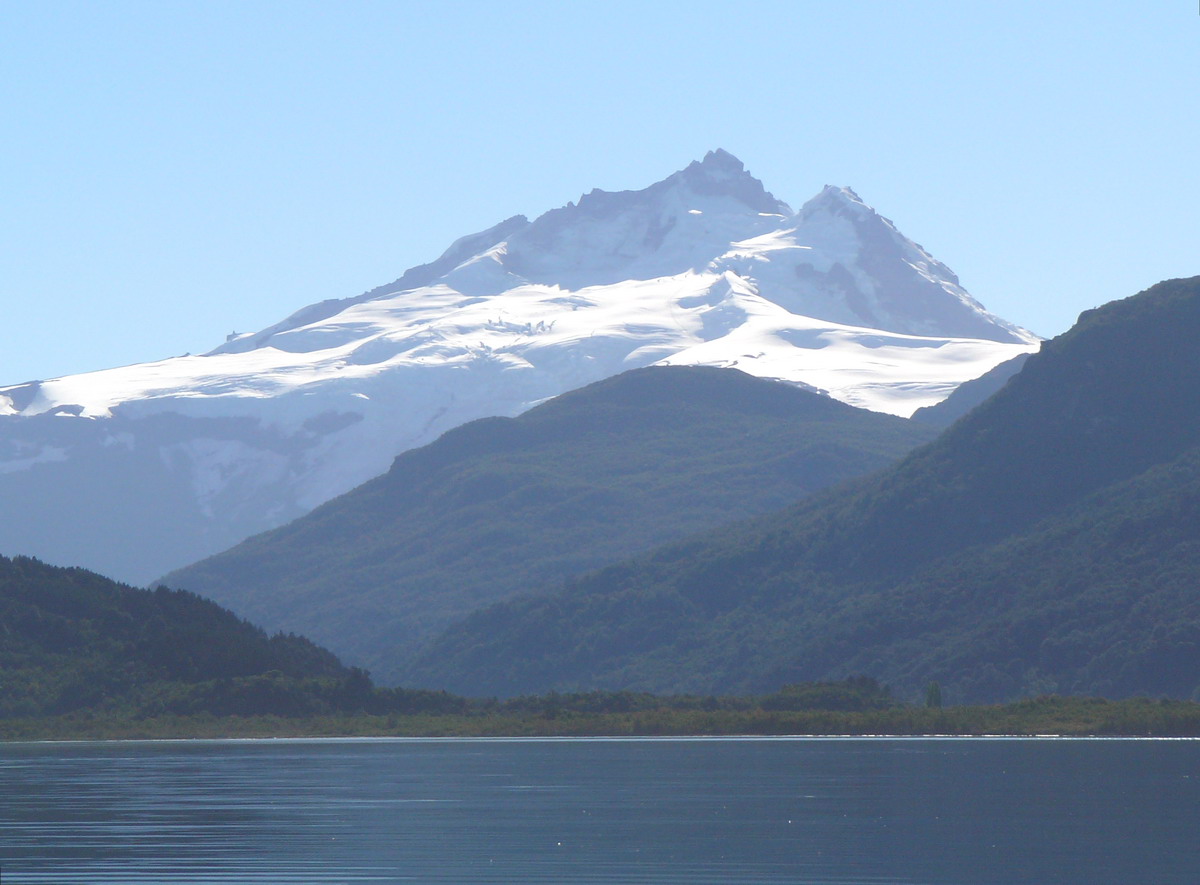 Photo: Wernerluis, CC BY-SA 4.0 (via Wikimedia Commons)
Tronador: Sendero Refugio Otto Meiling to 10,100 ft (from Pampa Linda)
Next door
Photo: Wernerluis, CC BY-SA 4.0 (via Wikimedia Commons)Tronador
~13 min drive
 Photo: McKay Savage from London, UK, CC BY 2.0 (via Wikimedia Commons)
Camping San Martin Jakob
~19 min drive
 Photo: enzofloyd, CC BY-SA 3.0 (via Wikimedia Commons)
Playa negra
~24 min drive
 Photo: Gillermo Adolfo, CC BY 3.0 (via Wikimedia Commons)
Cascada Puerto Villa Peulla
~27 min drive
Conditions and forecast
Daily highs and lows, wind and the chance of precipitation at Sendero Mirador Del Valle for the next 7 days, from the Open-Meteo model.
Map and trail data © OpenStreetMap contributors
