Camping Agreste Lago Hess
A campground in Río Negro, Argentina.
- At 2,501 ft
Camping Agreste Lago Hess is a campground in Río Negro, Argentina, at about 2,500 ft above sea level. It is inside Parque Nacional Nahuel Huapi. The nearest town is Río Villegas, about 19 miles northwest of the campground. Peaks within about 3 miles include Cerro Tres Morros. Cascada Los Alerces and 2da Cascada de los Alerces, Río Manso are within about 3 miles. For camping, Camping Organizado Lago Roca and Camping Roca are within about 6 miles. The location and elevation come from OpenStreetMap and the Copernicus 90 m elevation model. Check local access rules and conditions before you go.
Make it a trip
Roamze builds the days around this campground: where to sleep, where to eat after, what to do if it rains. You change anything.
Keep exploring — more campsites worth the drive
 Photo: enzofloyd, CC BY-SA 3.0 (via Wikimedia Commons)
Los Rápidos
~12 min drive
A campground in Río Negro, Argentina.
 Photo: McKay Savage from London, UK, CC BY 2.0 (via Wikimedia Commons)
Camping San Martin Jakob
~26 min drive
A campground in Río Negro, Argentina.
Camping Organizado Lago Roca
~1 min drive
A campground in Río Negro, Argentina.
Camping Roca
~1 min drive
A campground in Río Negro, Argentina.
Camping ATE
~14 min drive
A campground in Río Negro, Argentina.
Los Cesares
~15 min drive
An informal camping spot in Río Negro, Argentina.
camping La Querencia
~16 min drive
A campground in Río Negro, Argentina.
Camping Libre
~16 min drive
A campground in Río Negro, Argentina.
Camping Agreste Rio Manso
~16 min drive
A campground in Río Negro, Argentina.
Camping Los Vuriloches
~16 min drive
A campground in Río Negro, Argentina.
Also worth it near here
Cascada Los Alerces
~2 min drive
 Photo: enzofloyd, CC BY-SA 3.0 (via Wikimedia Commons)
Playa negra
~15 min drive
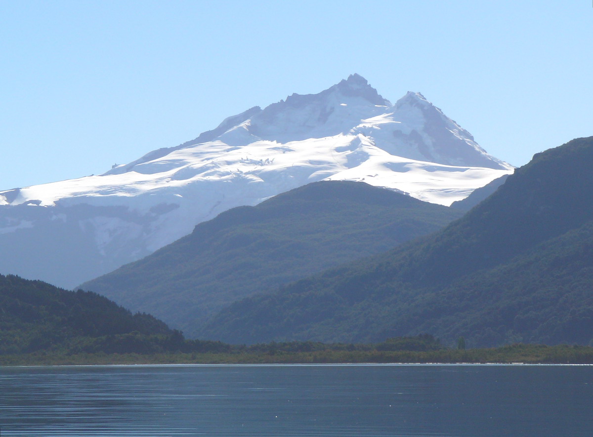 Photo: Wernerluis, CC BY-SA 4.0 (via Wikimedia Commons)
Tronador: Sendero Refugio Otto Meiling to 10,100 ft (from Pampa Linda)
~16 min drive
 Photo: VolandoAnduve, CC BY-SA 4.0 (via Wikimedia Commons)
Cerro Bastión
~21 min drive
 Photo: McKay Savage from London, UK, CC BY 2.0 (via Wikimedia Commons)
Sendero El Abuelo - Frey
~30 min drive
Conditions and forecast
Daily highs and lows, wind and the chance of precipitation at Camping Agreste Lago Hess for the next 7 days, from the Open-Meteo model.
Map and trail data © OpenStreetMap contributors
