
Camp Always Choose Adventures
Hiking business nearby (~5 mi away) — hasn't claimed their Roamze page yet

Idaho Springs, Colorado
Free — you'll pick up right here.
0.6 mi
Distance
493 ft
Gain
25 min
Time
No agency boundary, access route or field report is mapped to it — so there is no verdict, and we won't guess. We'll tell you the moment this trail has something to say.
Covered nearby
Trails within 25 miles where we do have a current picture.
Nobody's filed a report here yet — be the first.
Why you'll love it
Zip Trail
Suggested plan · check conditions before you go
No permit or access details on file for this trail — check with the local land manager before you go.
Zip Trail is a 1.2-mile out-and-back hike in Colorado with 493 feet of elevation gain and loss. The trail reaches a maximum elevation of 8,996 feet.
Photo: Vadim Manuylov, CC BY-SA 3.0 (via Wikimedia Commons)Goat Trail
~1 min drive
1.24-mile out-and-back hike in Colorado with 402 ft of elevation gain
 Photo: glennharper, CC BY-SA 2.0 (via Flickr)
Warren Gulch
~4 min drive
8.58-mile out-and-back trail in Colorado with 3,692 ft elevation gain.
 Photo: jtsmmm, CC BY 3.0 (via Wikimedia Commons)
DEVILS CANYON SPUR
~7 min drive
1.82-mile out-and-back trail in Colorado with 1,170 ft elevation gain.
 Photo: dirkdavidson1, Public Domain Dedication (CC0) (via Flickr)
Bard Peak
~11 min drive
Route to the summit of Bard Peak (13,645 ft) from Trailhead.
 Photo: Vadim Manuylov, CC BY-SA 3.0 (via Wikimedia Commons)
Sunny Skies Trail
~4 min drive
1.68-mile out-and-back hike in Colorado with 720 ft elevation gain and loss.
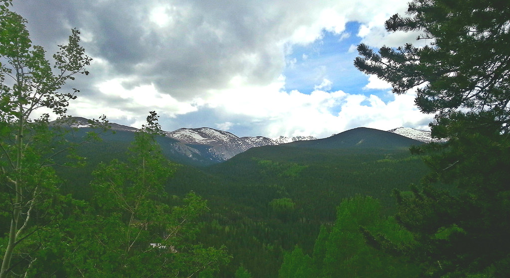 Photo: WasifMalik, CC BY 2.0 (via Flickr)
Captain Mountain
~10 min drive
16.48-mile out-and-back trail in Colorado reaching 10,622 ft.
 Photo: jtsmmm, CC BY 3.0 (via Wikimedia Commons)
Devils Canyon Spur Trail
~7 min drive
3.1-mile out-and-back trail in Colorado with 1,437 ft gain and 10,567 ft max elevation.
 Photo: Greg Younger from Parker, Colorado, USA, USA, CC BY-SA 2.0 (via Wikimedia Commons)
Mount Bancroft
~13 min drive
Route to the summit of Mount Bancroft (13,251 ft) from St Marys Glacier Trailhead.
 Photo: Tony Webster — CC BY 2.0 (via Flickr)
Summit Trail
~10 min drive
1.16-mile trail in Colorado with 400 ft elevation gain.
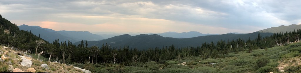 Photo: regexman, CC BY 2.0 (via Flickr)
Resthouse Meadows
~10 min drive
11.76-mile out-and-back trail in Colorado reaching 11,429 ft.
Map and trail data © OpenStreetMap contributors
Local operators near Idaho Springsoffering guided trips. You book directly with them — Roamze doesn’t take a cut.
Camp Always Choose Adventures
Hiking business nearby (~5 mi away) — hasn't claimed their Roamze page yet
Lostfork Basecamp
Hiking business nearby (~20 mi away) — hasn't claimed their Roamze page yet
Wildcat Mountaineering
Hiking business nearby (~37 mi away) — hasn't claimed their Roamze page yet
