Yankee Fork Crag
Stanley, Idaho
Free — you'll pick up right here.
No verdict for this crag
We won't guess. Here is exactly what we do and don't know.
What we do know
Inside Salmon-Challis National Forest
2 managing-area boundaries mapped — agency alerts for them feed this page automatically.
Boundary data
What's missing
No access route mapped
We don't yet know which road reaches this trailhead, so we can't tell you if it's gated.
Nobody's filed a report here yet — be the first.
At a glance
Routes (6)
Here's your day at the crag, mapped
Yankee Fork Crag
Suggested plan · check conditions before you go
Photos
Directions & GPX
About this crag
Yankee Fork Crag is a climbing area in Idaho with 6 routes. It offers sport and trad climbing.
Facts about this crag
When to go
Typical monthly averages (not a forecast) from the Stanley, ID weather station, 11 mi away. High / low in °F.
- Jan26° high-3° low
- Feb33° high-1° low
- Mar43° high9° low
- Apr50° high18° low
- May60° high26° low
- Jun69° high31° low
- Jul80° high34° low
- Aug79° high32° low
- Sep70° high25° low
- Oct56° high19° low
- Nov38° high10° low
- Dec25° high-2° low
Where it is
- Challis-Yankee Fork Ranger District · Ranger district
- Salmon-Challis National Forest · National forest
- Managed by
- Forest Service
Conditions
Active alerts for Salmon-Challis National Forest as of Oct 9, 2026:
Salmon River Corridor (Wild and Scenic Section)
information · posted Aug 24, 2026
FRANK CHURCH-RIVER OF NO RETURN WILDERNESS
information · posted Aug 24, 2026
14 Day Stay Limit - Occupancy and Use
information · posted Aug 24, 2026
Traffic & Alcohol - Occupancy and Use
information · posted Aug 24, 2026
information · posted Aug 24, 2026
Commercial Hauling Restrictions
information · posted Aug 24, 2026
Gold Bug Hot Spring Occupancy and Use
information · posted Aug 24, 2026
Salmon River Road Use and Occupancy
information · posted Aug 24, 2026
Middle Fork of the Salmon Wild and Scenic River
information · posted Aug 24, 2026
information · posted Aug 24, 2026
Source: USFS forest alerts
Nearby
- Blind Creek CampgroundCamping0.3 mi
- Flat Rock Extension CampgroundCamping0.8 mi
- CUSTER TRAIL, RD #013, #070 -WHiking1 mi
- dam buttress, TheRock climbing1.3 mi
- towers at 202, TheRock climbing1.3 mi
- LOWER MULEY CREEKHiking2.8 mi
- Basin CreekCanoeing7.7 mi
- West Fork Yankee ForkCanoeing8 mi
Source: Roamze catalog (indexable pages within 10 miles, PostGIS distance)
Add to a trip & share
Keep exploring — more climbs worth the drive
 Photo: tinosa, Public domain (via Wikimedia Commons)
towers at 202, The
~2 min drive
11-route climbing area in Idaho with mixed, sport, and trad styles.
 Photo: Fredlyfish4 at English Wikipedia, CC BY-SA 3.0 (via Wikimedia Commons)
Roundabout Boulder
~22 min drive
Roundabout Boulder in Idaho has 9 bouldering routes across 8 grades.
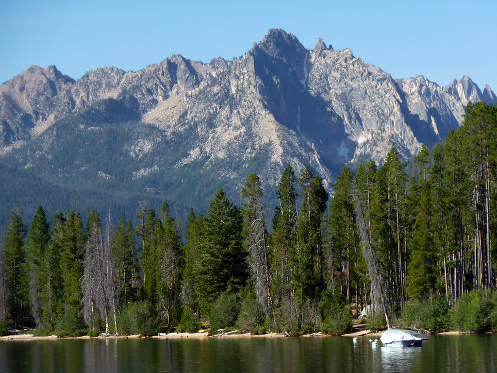 Photo: treegrow, CC BY 2.0 (via Flickr)
Redfish Lake Bouldering
~24 min drive
Redfish Lake Bouldering in Idaho has 2 bouldering routes with mixed protection.
Photo: tinosa, Public domain (via Wikimedia Commons)dam buttress, The
~2 min drive
Dam Buttress in Idaho has 7 climbing routes with sport and trad options.
Central Idaho
~23 min drive
Central Idaho is an Idaho climbing crag with 17 routes across 12 grades.
The. Old sawmill slabs
~25 min drive
13 routes at The Old sawmill slabs in Idaho span 7 difficulty grades, offering sport and trad climbing.
Elephant's Perch, The
~33 min drive
Elephant's Perch in Idaho has 18 routes with 15 difficulty grades.
Baron Spire aka Old Smoothie
~36 min drive
Baron Spire (Old Smoothie) in Idaho has 5 climbing routes with alpine no fixed protection.
Billy Goat Buttress
~56 min drive
Billy Goat Buttress in Idaho has 6 climbing routes rated on 5 difficulty grades.
Lost River Range
~1h 18m drive
Lost River Range in Idaho has 10 climbing routes with 9 difficulty grades.
