

Mammoth Lakes Pack Outfit
Camping business nearby (~34 mi away) — hasn't claimed their Roamze page yet
California
Free — you'll pick up right here.
We won't guess. Here is exactly what we do and don't know.
What we do know
Inside Humboldt-Toiyabe National Forest
2 managing-area boundaries mapped — agency alerts for them feed this page automatically.
Boundary data
What's missing
No access route mapped
We don't yet know which road reaches this trailhead, so we can't tell you if it's gated.
Nobody's filed a report here yet — be the first.
West Virginia Creek
Suggested plan · check conditions before you go
Rustic campsites with fire rings in Jeffrey Pine Forest. There is no water and no trash service. Please pack out your trash
Typical monthly averages (not a forecast) from the Tuolumne Meadows Rs, CA weather station, 14 mi away. High / low in °F.
Active alerts for Bridgeport Ranger District as of Oct 9, 2026:
Food and Refuse Storage Restrictions (Bridgeport Ranger District)
information · posted Aug 24, 2026
Cultural Area Closure (Bridgeport Ranger District)
caution · posted Aug 24, 2026
Powell Canyon Road Closure (Bridgeport Ranger District)
caution · posted Aug 24, 2026
Hoover Wilderness Food Storage Requirements (Bridgeport Ranger District)
information · posted Aug 24, 2026
Hoover Wilderness and Red, Blue, & Big Virginia Lakes Prohibited Acts (Bridgeport Ranger District)
information · posted Aug 24, 2026
Pine Grove Historic Site Restrictions (Bridgeport Ranger District)
information · posted Aug 24, 2026
Camping Closure, Twin Lakes (Bridgeport Ranger District)
information · posted Aug 24, 2026
Stage 1 Fire Restrictions, Bridgeport Ranger District
fire-restriction · posted Aug 24, 2026
Source: USFS forest alerts
Source: Roamze catalog (indexable pages within 10 miles, PostGIS distance)
Green Creek Group
~7 min drive
A worthwhile stop near California.
Saddlebag Lake Trailhead Group Camp
~12 min drive
A worthwhile stop near California.
Lower Twin Lakes at Bridgeport
~16 min drive
A worthwhile stop near California.
Robinson Creek North
~17 min drive
A worthwhile stop near California.
Robinson Creek South
~17 min drive
A worthwhile stop near California.
Honeymoon Flat
~18 min drive
A worthwhile stop near California.
 Photo: Chris Mayer — CC BY 2.0 (via Flickr)
Trailhead Group Campground (AT SADDLEBAG LAKE)
~12 min drive
A worthwhile stop near California.
 Photo: waterarchives — CC BY-SA 2.0 (via Flickr)
Tioga Lake Cg
~16 min drive
A worthwhile stop near California.
Trumbull Lake
~2 min drive
A worthwhile stop near California.
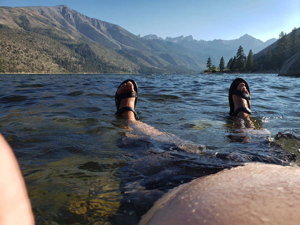 Photo: niiicedave — CC BY-SA 2.0 (via Flickr)
Lower Twin Lake Campground
~15 min drive
Mountain campground with fishing, hiking trails, and towering Jeffrey pines near Bridgeport.
Local operatorsoffering guided trips. You book directly with them — Roamze doesn’t take a cut.
Mammoth Lakes Pack Outfit
Camping business nearby (~34 mi away) — hasn't claimed their Roamze page yet
