West Fork
Campground
< 0.1 mi from the trail
West Fork is a 3,100-foot-elevation hike-in campground in the San Gabriel Mountains National Monument Ranger District of Angeles National Forest, California, managed by the Forest Service. It sits along the trails of the Gabrielino National Recreation Trail and Silver Moccasin National Recreation Trail, which intersect just south of the site. The campground offers seven trailside campsites. When open, it is not regularly maintained, so plan for a backcountry-style stay. No fees are required to use the site. Spring and fall are the most comfortable times to visit. Typical averages from a nearby weather station at Pearblossom show April highs around 75°F and October highs around 80°F, while July and August average in the upper 90s. The Silver Moccasin Trail and Gabrielino Trail both pass within a tenth of a mile. Devore campground is 0.8 miles away, and Valley Forge is 1.5 miles away.
Where it is: San Gabriel Mountains National Monument Ranger District · Angeles National Forest
Near: Los Angeles
Best months: October–May. Best months have typical highs of 55–85 °F, lows of 30 °F or warmer (32 °F where the station doesn't record snow), at most one snowy day and no more than 12 wet days.
Jan
60°
38°
4 wet
Feb
63°
39°
4 wet
Mar
69°
42°
3 wet
Apr
75°
45°
2 wet
May
84°
53°
1 wet
Jun
93°
61°
0 wet
Jul
99°
67°
1 wet
Aug
98°
67°
1 wet
Sep
91°
62°
1 wet
Oct
80°
53°
1 wet
Nov
67°
43°
2 wet
Dec
58°
36°
4 wet
Typical high / low (°F) and days with rain or snow, 1991–2020. Measured at Pearblossom, CA, 19.7 mi away at 3,101 ft. Source: NOAA NCEI U.S. Climate Normals 1991–2020.
Been here? Tell people how it was.
 West Fork San Gabriel RiverCanoeingPhoto: Eeekster, CC BY 3.0 (via Wikimedia Commons)4.8 mi
Also worth it near here
 Gabrielino TrailMountain bikingPhoto: Chris Bolton, CC BY 3.0 (via Wikimedia Commons)~1 min drive
 Sturtevant Trail / Gabrielino Trail / Silver Moccasin TrailHikingPhoto: OctopusHat on Flickr, CC BY-SA 2.0 (via Wikimedia Commons)~3 min drive
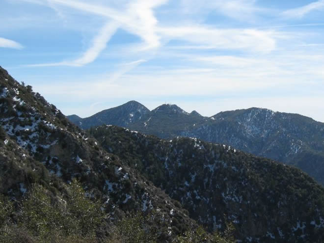 San Gabriel PeakSummitPhoto: Justin.Johnsen, CC BY 3.0 (via Wikimedia Commons)~5 min drive
Daily highs and lows, wind and the chance of precipitation at West Fork for the next 7 days, from the Open-Meteo model.
Questions about West Fork: conditions, access, timing. Answers say when something isn't known.
West Fork
Campground
 If it rainsBoothsift, CC BY-SA 4.0 · Wikimedia Commons
Places © OpenStreetMap contributors · Photos: Boothsift, CC BY-SA 4.0 (commons)
More in Acton