Linville Falls Campground RV Park & Cabins
Campground
5.2 mi from the trail
 Photo: Adam Lynch from Hickory, NC, USA, CC BY-SA 2.0 (via Wikimedia Commons)
Conley Cove is a hard hike in the Grandfather Ranger District of the National Forests in North Carolina, about a mile from the community of Wisemans View. The trail is an out-and-back that climbs from a low point of 1,899 feet to a high of 2,972 feet, with a total elevation gain of 2,422 feet over the course of the round trip. The steepest stretch comes early, around 0.5 miles in, where the grade reaches 32 percent. The route is 2.8 miles long and is rated hard. It is a natural-surface trail, and bikes are not allowed. Summer is the most comfortable time to go. Typical averages from a nearby weather station at Spruce Pine, which sits at a similar elevation, show July highs around 81°F with lows near 60°F, while winter highs there stay in the mid-40s. The hike takes about two hours. Linville River Crag and Gold Coast Cliffs, both climbing areas, are each about half a mile away. Table Rock Summit and Shortoff are hikes roughly 1.2 miles off.
Where it is: Grandfather Ranger District · National Forests in North Carolina
Near: Spruce Pine
Best months: March–October. Best months have typical highs of 55–85 °F, lows of 30 °F or warmer (32 °F where the station doesn't record snow), at most one snowy day and no more than 12 wet days.
Jan
45°
24°
Feb
47°
26°
Mar
55°
32°
Apr
64°
39°
May
71°
48°
Jun
78°
57°
Jul
81°
60°
Aug
80°
59°
Sep
74°
53°
Oct
65°
42°
Nov
56°
31°
Dec
48°
27°
Typical high / low (°F) and days with rain or snow, 1991–2020. Measured at Spruce Pine 2 Ne, NC, 6.1 mi away at 2,850 ft. This station doesn't record snowfall. Source: NOAA NCEI U.S. Climate Normals 1991–2020.
Been here? Tell people how it was.
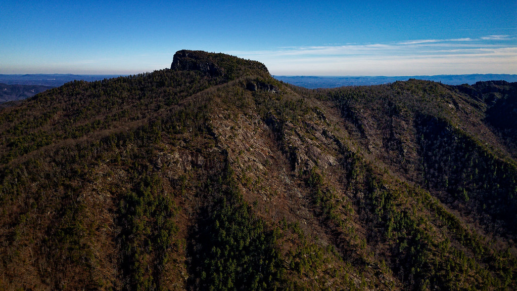 Linville River CragRock climbingPhoto: chascow, CC BY 2.0 (via Flickr)0.6 mi
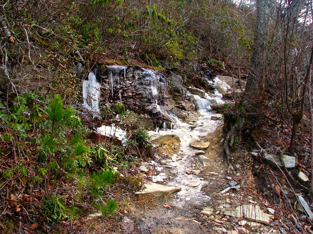 Table Rock SummitHikingPhoto: LetTheCardsFall, CC BY-SA 2.0 (via Flickr)1.2 miShortoffHikingPhoto: LetTheCardsFall, CC BY-SA 2.0 (via Flickr)1.2 miTable Rock SummitHikingPhoto: LetTheCardsFall, CC BY-SA 2.0 (via Flickr)~2 min driveShortoffHikingPhoto: LetTheCardsFall, CC BY-SA 2.0 (via Flickr)~2 min drive
 HawksbillHikingPhoto: npdoty, CC BY 2.0 (via Flickr)~4 min drive
 Table Rock GapHikingPhoto: npdoty, CC BY 2.0 (via Flickr)~3 min driveSpence RidgeHikingPhoto: npdoty, CC BY 2.0 (via Flickr)~3 min drive
 Chestoa View TrailHikingPhoto: pmuellr, CC BY 2.0 (via Flickr)~6 min drive
 Babel TowerHikingPhoto: chascow, CC BY 2.0 (via Flickr)~4 min drive
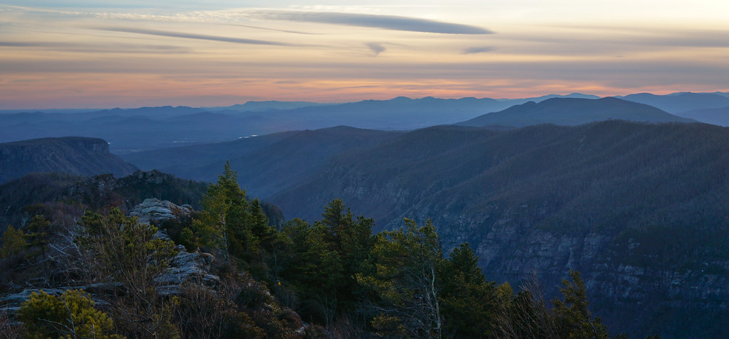 Steeles CreekHikingPhoto: pmuellr, CC BY 2.0 (via Flickr)~4 min drive
 Erwin's View TrailHikingPhoto: Ken Thomas, Public domain (via Wikimedia Commons)~7 min drive
 Jonas RidgeHikingPhoto: npdoty, CC BY 2.0 (via Flickr)~4 min drive
Also worth it near here
Linville River CragRock climbingPhoto: chascow, CC BY 2.0 (via Flickr)~1 min drive Table Rock MountainSummitPhoto: Omarcheeseboro, CC BY-SA 3.0 (via Wikimedia Commons)~2 min drive
 Linville FallsWaterfallPhoto: Ken Thomas, Public domain (via Wikimedia Commons)~7 min drive
Daily highs and lows, wind and the chance of precipitation at Start for the next 7 days, from the Open-Meteo model.
Questions about Conley Cove: conditions, access, timing. Answers say when something isn't known.
Linville Falls Campground RV Park & Cabins
Campground
Famous Louise's Rock House Restaurant
Restaurant
Gem Mountain Gemstone Mine
Attraction
Places © OpenStreetMap contributors
More in Spruce PineNot on Roamze yet. Their page has how to reach them.
