
Alpine Lodge at Red Feather Lakes
Hiking business nearby (~3 mi away) — hasn't claimed their Roamze page yet
Colorado
No account needed. We'll keep it on this device.
5.5 mi
Distance
170 ft
Gain
We won't guess. Here is exactly what we do and don't know.
What we do know
Inside Arapaho and Roosevelt National Forests
2 managing-area boundaries mapped — agency alerts for them feed this page automatically.
Boundary data
What's missing
No access route mapped
We don't yet know which road reaches this trailhead, so we can't tell you if it's gated.
Nobody's filed a report here yet — be the first.
Why you'll love it
Lady Moon
Suggested plan · check conditions before you go
Want dates, gear and meals worked out too?
Source for bikes, horses, surface: USDA Forest Service National Forest System Trails (EDW)
Lady Moon is a 5.53-mile out-and-back trail in Colorado managed by Arapaho and Roosevelt National Forests. The trail gains 170 feet of elevation and reaches a maximum elevation of 8,273 feet.
Source: Roamze elevation profile and trail geometry (DEM samples along the mapped route)
Typical monthly averages (not a forecast) from the Rustic 9wsw, CO weather station, 10 mi away. High / low in °F.
Active alerts for Canyon Lakes Ranger District as of Oct 9, 2026:
Cameron Peak Fire Road Closures
caution · posted Aug 24, 2026
West Crystal A - Mechanical Fuelbreak Area and Road Closure
caution · posted Aug 24, 2026
Source: USFS forest alerts
Source: Roamze catalog (indexable pages within 10 miles, PostGIS distance)
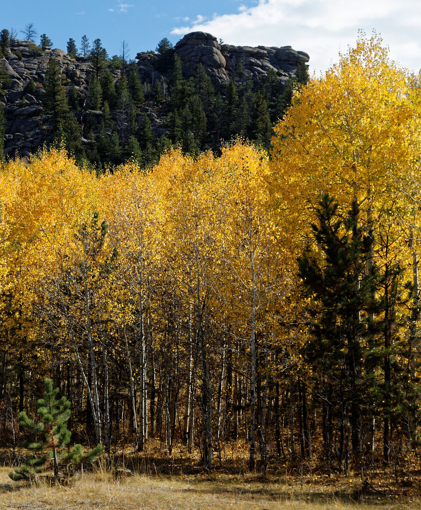 Photo: KimonBerlin, CC BY-SA 2.0 (via Flickr)
Mount Margaret Trail
~1 min drive
1.32-mile out-and-back trail in Colorado with 256 ft elevation gain.
 Photo: Tony Webster, CC BY 2.0 (via Flickr)
Lower Dadd Gulch
~10 min drive
7.04-mile out-and-back trail in Colorado with 1,257 ft elevation gain.
Columbine
~4 min drive
19 mi · Hard
Photo: KimonBerlin, CC BY-SA 2.0 (via Flickr)Mount Margaret Trail
~1 min drive
5.7 mi · Easy
Elkhorn Creek
~4 min drive
7.98-mile out-and-back trail in Colorado with 667 ft elevation gain.
Pearl Creek
~4 min drive
28.62-mile out-and-back trail in Colorado with 1,608 ft elevation gain.
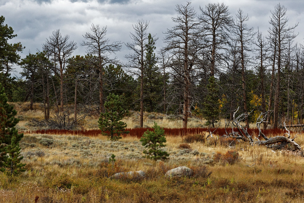 Photo: KimonBerlin, CC BY-SA 2.0 (via Flickr)
East Dowdy Lake
~3 min drive
2.94-mile out-and-back to East Dowdy Lake in Colorado, 66 ft gain.
Molly Moon
~4 min drive
4.24-mile out-and-back trail in Colorado with 136 ft gain and max elevation 8,544 ft.
North Fork
~4 min drive
18.76-mile out-and-back trail in Colorado with 1,680 ft gain and max elevation 9,144 ft.
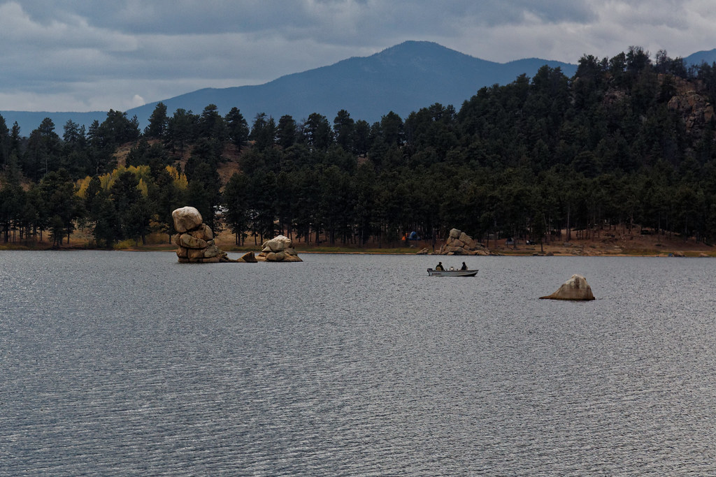 Photo: KimonBerlin, CC BY-SA 2.0 (via Flickr)
Trail Between The Pines
~3 min drive
0.62-mile out-and-back hike in Colorado with 285 ft elevation gain.
Local operatorsoffering guided trips. You book directly with them — Roamze doesn’t take a cut.
Alpine Lodge at Red Feather Lakes
Hiking business nearby (~3 mi away) — hasn't claimed their Roamze page yet
Wildcat Mountaineering
Hiking business nearby (~41 mi away) — hasn't claimed their Roamze page yet
