Timberdoodle Woodcock
Pennsylvania
Free — you'll pick up right here.
1.1 mi
Distance
56 ft
Gain
29 min
Time
Conditions: Blocked
for hike, todayAn agency closure order is in effect for this area; weather is good
2 factors · 2 sources
Newest 2 h ago · oldest 2 h
problem: Agency alerts
35 active alerts in Allegheny National Forest; most severe: Temporary Closure on Forest Road 321 for Culvert Replacement
USFSPosted Sep 2 · checked 2 h ago
clear: Weather
Clouds, high 63°F / low 42°F, 0% precip — 100/100 for hike
OpenWeather2 h ago
Been out here in the last few days? One report keeps this current for everyone.
Why you'll love it
Here's your day, mapped
Timberdoodle Woodcock
Suggested plan · check conditions before you go
Meals
Gear for the day
Elevation & route
- Distance
- 1.1 mi
- Elevation gain
- 56 ft
- Elevation loss
- 198 ft
- Highest point
- 2,106 ft
- Lowest point
- 2,031 ft
Photos
Directions & GPX
Permits & access
- Managing agency
- Forest Service
- Bikes
- no
About this trail
Timberdoodle Woodcock is an easy 1.14-mile loop trail located in Pennsylvania.
Add to a trip & share
Keep exploring — more trails worth the drive
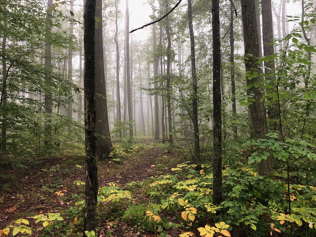 Photo: daveynin, CC BY 2.0 (via Flickr)
Gowango
~15 min drive
3.15-mile out-and-back trail in Pennsylvania with 1,048 ft of elevation gain.
 Photo: U.S. Army Corps of Engineers, photographer not specified or unknown, Public domain (via Wikimedia Commons)
Rimrock Overlook
~16 min drive
A 2.07-mile out-and-back Pennsylvania trail with concrete, dirt, and wooden staircase surfaces, connecting to NRSR 454.
Westline Thundershower Hiking
~5 min drive
An easy 6.36-mile out-and-back trail in Pennsylvania perfect for hikers of all abilities.
Boo-Boos Delight
~5 min drive
1.6-mile out-and-back trail in Pennsylvania with 130 ft of elevation gain.
Photo: U.S. Army Corps of Engineers, photographer not specified or unknown, Public domain (via Wikimedia Commons)Sams Rocks
~16 min drive
3.60-mile out-and-back trail in Pennsylvania with moderate difficulty.
 Photo: Andy Arthur on Flickr, CC BY 2.0 (via Wikimedia Commons)
Jrembt - Blacksnake
~17 min drive
Easy 1.35-mile out-and-back trail in Pennsylvania.
Bullis Hollow
~10 min drive
An 8.39-mile moderate out-and-back trail in Pennsylvania with single-track, unimproved surfaces and connections to the North Country Trail network.
Kinzua Connector
~15 min drive
3.84-mile out-and-back trail in Pennsylvania with 364 ft elevation gain.
Photo: Andy Arthur on Flickr, CC BY 2.0 (via Wikimedia Commons)Jrembt - Seneca
~17 min drive
3.00-mile out-and-back trail in Pennsylvania with moderate difficulty.
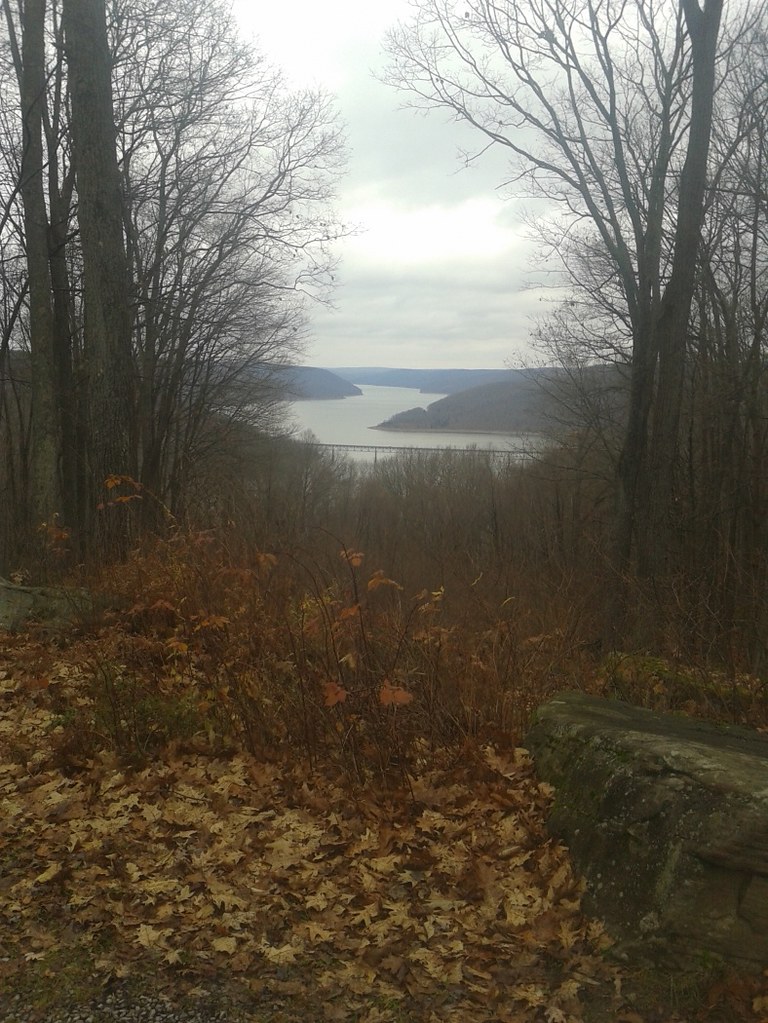 Photo: andyarthur, CC BY 2.0 (via Flickr)
Jrembt - Vulpes
~17 min drive
Easy 1.05-mile out-and-back trail in Pennsylvania.
