
Dry River Campground
Campground
1.2 mi from the trail
 Photo: Bob Linsdell, CC BY 2.0 (via Flickr)
Arethusa Falls is an easy, short hike of about 0.34 miles in the Saco Ranger District of White Mountain National Forest in New Hampshire. It is an out-and-back route, and the climb from the low point at 2,394 feet to the high point at 2,503 feet is gentle, with a total gain of about 219 feet. The steepest part comes early on, at around 0.07 miles, with a grade of about 11 percent. Summer is the most comfortable time to go. Typical averages from the Pinkham Notch weather station, about 10 miles away, show July highs around 75°F and lows near 53°F. That station sits roughly 480 feet lower than the falls, so temperatures at the falls run a little cooler. Winter is cold, with January highs near 26°F. The hike takes about half an hour. The Frankenstein Cliff Trail is about 0.3 miles away, and the Arethusa Falls Trail is about 0.5 miles off. Climbers can head to Ethan & Abel Slabs, about 1.2 miles away, and Ethan Pond Shelter offers camping about 2.5 miles from the falls.
Where it is: Saco Ranger District · White Mountain National Forest
Near: Bartlett
Best months: September. Best months have typical highs of 55–85 °F, lows of 30 °F or warmer (32 °F where the station doesn't record snow), at most one snowy day and no more than 12 wet days.
Jan
26°
6°
14 wet
Feb
28°
7°
13 wet
Mar
36°
15°
14 wet
Apr
49°
27°
13 wet
May
62°
39°
15 wet
Jun
70°
48°
14 wet
Jul
75°
53°
14 wet
Aug
74°
52°
13 wet
Sep
68°
45°
12 wet
Oct
54°
35°
14 wet
Nov
42°
24°
14 wet
Dec
31°
14°
16 wet
Typical high / low (°F) and days with rain or snow, 1991–2020. Measured at Pinkham Notch, NH, 9.7 mi away at 2,025 ft. This station doesn't record snowfall. Source: NOAA NCEI U.S. Climate Normals 1991–2020.
Been here? Tell people how it was.
 Frankenstein Cliff TrailHikingPhoto: Bob Linsdell, CC BY 2.0 (via Flickr)0.3 miArethusa Falls TrailHikingPhoto: Bob Linsdell, CC BY 2.0 (via Flickr)0.5 mi
 Ethan & Abel SlabsRock climbingPhoto: Bob Linsdell, CC BY 3.0 (via Wikimedia Commons)1.2 mi
 Omni Mount Washington Resort, Bretton WoodsLake fishing8 miFrankenstein Cliff TrailHikingPhoto: Bob Linsdell, CC BY 2.0 (via Flickr)Next doorBemis Brook TrailHikingPhoto: Bob Linsdell, CC BY 2.0 (via Flickr)~1 min drive
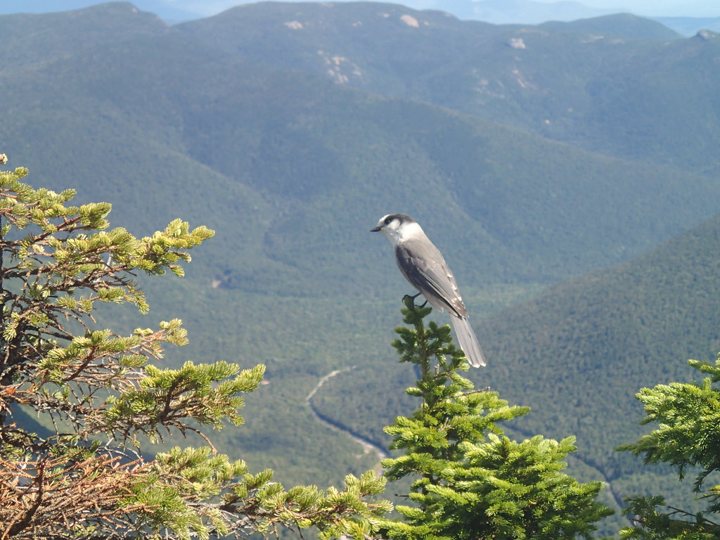 ETHAN POND TRAILHikingPhoto: Northfoot Adventures, CC BY 2.0 (via Flickr)~3 min drive
 Webster-Jackson TrailHikingPhoto: Ktr101, CC BY-SA 2.0 (via Flickr)~5 min driveArethusa Falls TrailHikingPhoto: Bob Linsdell, CC BY 2.0 (via Flickr)Next door
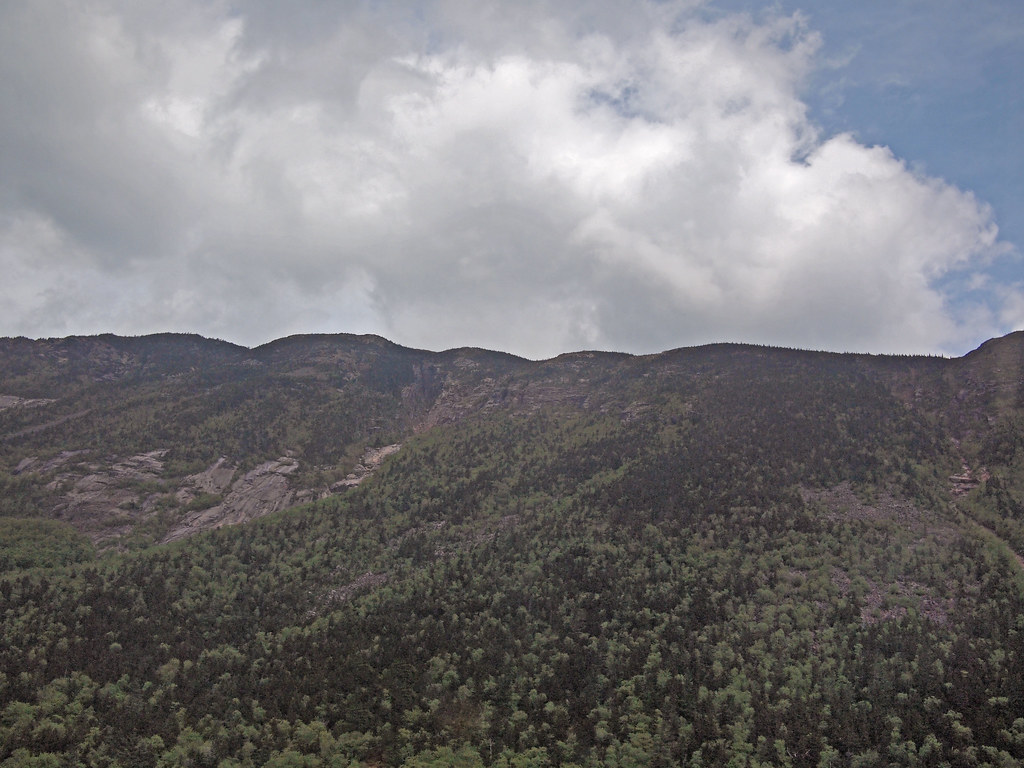 Saco River TrailHikingPhoto: rickpilot_2000, CC BY 2.0 (via Flickr)~2 min drive
 Carrigain Notch TrailHikingPhoto: timsackton, CC BY-SA 2.0 (via Flickr)~7 min driveArethusa-Ripley Falls TrailHikingPhoto: rickpilot_2000, CC BY 2.0 (via Flickr)~1 min drive
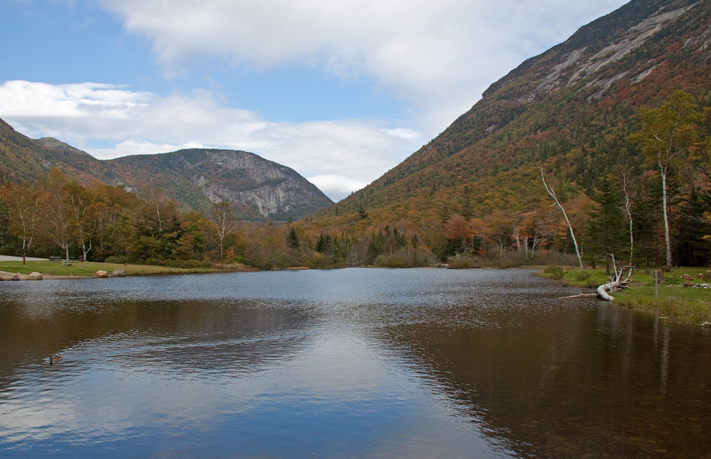 Kedron Flume TrailHikingPhoto: ahisgett, CC BY 2.0 (via Flickr)~3 min drive
 A-ZHikingPhoto: Cliff from Arlington, Virginia, USA, CC BY 2.0 (via Wikimedia Commons)~8 min drive
Daily highs and lows, wind and the chance of precipitation at Start for the next 7 days, from the Open-Meteo model.
Questions about Arethusa Falls: conditions, access, timing. Answers say when something isn't known.
Dry River Campground
Campground
 If it rainsKen Gallager, CC BY-SA 4.0 · Wikimedia Commons
Places © OpenStreetMap contributors, Places © Overture Maps Foundation · Photos: Ken Gallager, CC BY-SA 4.0 (commons)
More in North Conway