
Blue Creek Lodge
Hiking business nearby (~8 mi away) — hasn't claimed their Roamze page yet
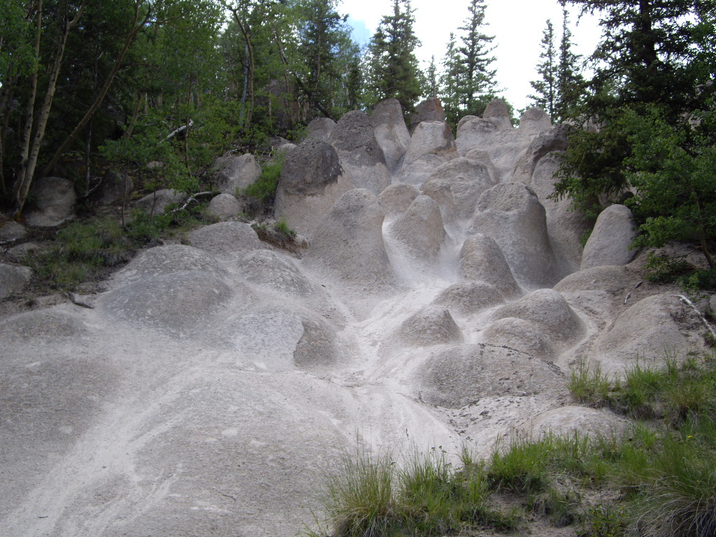
Colorado
Free — you'll pick up right here.
2.5 mi
Distance
56 ft
Gain
We won't guess. Here is exactly what we do and don't know.
What we do know
Inside Rio Grande National Forest
3 managing-area boundaries mapped — agency alerts for them feed this page automatically.
Boundary data
What's missing
No access route mapped
We don't yet know which road reaches this trailhead, so we can't tell you if it's gated.
Nobody's filed a report here yet — be the first.
Why you'll love it
Wheeler Loop
Suggested plan · check conditions before you go
Source for bikes, horses, surface: USDA Forest Service National Forest System Trails (EDW)
Wheeler Loop is a 2.50-mile out-and-back trail in Colorado managed by Rio Grande National Forest. The trail gains 56 feet of elevation and reaches a maximum elevation of 11,915 feet.
Source: Roamze elevation profile and trail geometry (DEM samples along the mapped route)
Source: Wilderness.net boundaries; USFS EDW boundaries; USGS PAD-US 4.1
Active alerts for Divide Ranger District as of Oct 9, 2026:
Big Meadows Recreation Area Use Regulations
information · posted Aug 24, 2026
Beaver Creek Recreation Area Use Restrictions
information · posted Aug 24, 2026
Wolf Creek Pass Winter Recreation Area
information · posted Aug 24, 2026
Motor Vehicle Seasonal Groomed Road Closures
information · posted Aug 24, 2026
NFS ROAD 510 AND 510.3B AREA CLSOURE
information · posted Aug 24, 2026
Source: USFS forest alerts
Source: Roamze catalog (indexable pages within 10 miles, PostGIS distance)
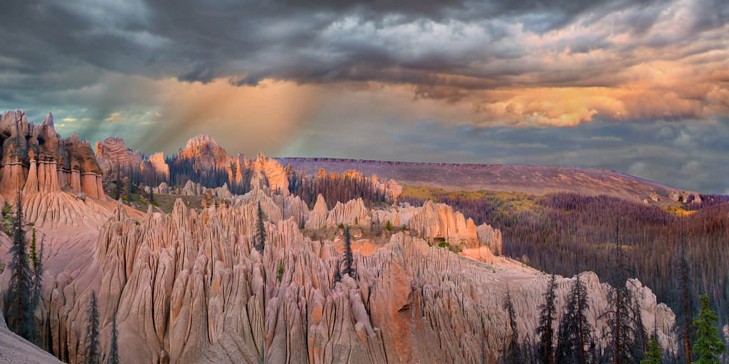 Photo: snowpeak, CC BY 2.0 (via Flickr)
Wason Park Cut-Off
~2 min drive
2.19-mile out-and-back trail in Colorado on the Rio Grande National Forest.
 Photo: aspidoscelis, Public Domain Dedication (CC0) (via Flickr)
Farmers Creek
~11 min drive
7.23-mile loop trail in Colorado with 2,971 ft elevation gain.
West Bellows
~8 min drive
10.47-mile out-and-back trail in Colorado with 2,216 ft elevation gain.
La Garita Sd. Trail
~11 min drive
25.12-mile point-to-point trail in Colorado with 1,986 ft gain and 5,759 ft loss.
Halfmoon Creek
~4 min drive
2.93-mile out-and-back trail in Colorado's Rio Grande National Forest with 791 ft gain
Photo: aspidoscelis, Public Domain Dedication (CC0) (via Flickr)Dry Gulch Trail
~12 min drive
6.99-mile out-and-back hike in Colorado's Rio Grande National Forest with 2,493 ft gain.
MIDDLE FORK CUTOFF
~8 min drive
2.42-mile out-and-back trail in Colorado with 868 ft gain and 12,220 ft max elevation.
Embargo Trail
~17 min drive
10.94-mile out-and-back in Colorado with 2,980 ft elevation gain and loss.
West Alder Creek Trail
~11 min drive
2.92-mile out-and-back hike in Colorado with 965 ft elevation gain.
Machin Basin
~2 min drive
15.63-mile loop in Colorado's Rio Grande National Forest with 2,750 ft gain.
Local operatorsoffering guided trips. You book directly with them — Roamze doesn’t take a cut.
Blue Creek Lodge
Hiking business nearby (~8 mi away) — hasn't claimed their Roamze page yet
Grizzly RT RV Park
Hiking business nearby (~34 mi away) — hasn't claimed their Roamze page yet
Crazy Horse Outfitters
Hiking business nearby (~38 mi away) — hasn't claimed their Roamze page yet
