Yellowstone Safari Company
Hiking business nearby (~44 mi away) — hasn't claimed their Roamze page yet
Montana
Free — you'll pick up right here.
11.7 mi
Distance
1,564 ft
Gain
4h 40m
Time
An agency closure order is in effect for this area; weather is good
2 factors · 2 sources
Newest 16 h ago · oldest 17 h
problem: Agency alerts
20 active alerts in Custer Gallatin National Forest; most severe: NFSR #1700 South Plateau Road Closure
USFSPosted Oct 2 · checked 17 h ago
clear: Weather
Clouds, high 69°F / low 28°F, 0% precip — 98/100 for hike
OpenWeather16 h ago
Been out here in the last few days? One report keeps this current for everyone.
Why you'll love it
Marble Mountain
Suggested plan · check conditions before you go
Marble Mountain is an out-and-back trail in Montana, 11.66 miles and 1,564 feet of elevation gain. It is managed by the Forest Service.
 Photo: Forest Service - Northern Region, Public Domain Mark (via Flickr)
Meadow Creek
~5 min drive
7.48-mile out-and-back trail in Montana with 958 ft elevation gain.
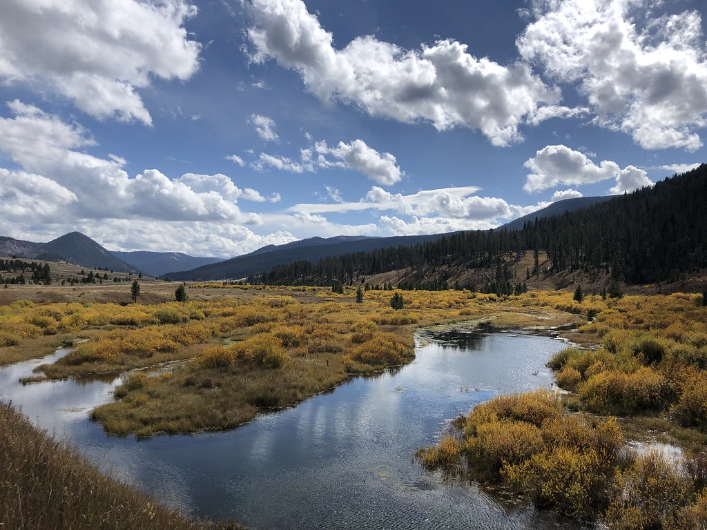 Photo: Forest Service - Northern Region, Public Domain Mark (via Flickr)
Teepee Creek
~7 min drive
9.05-mile out-and-back trail in Montana with 1,114 ft elevation gain.
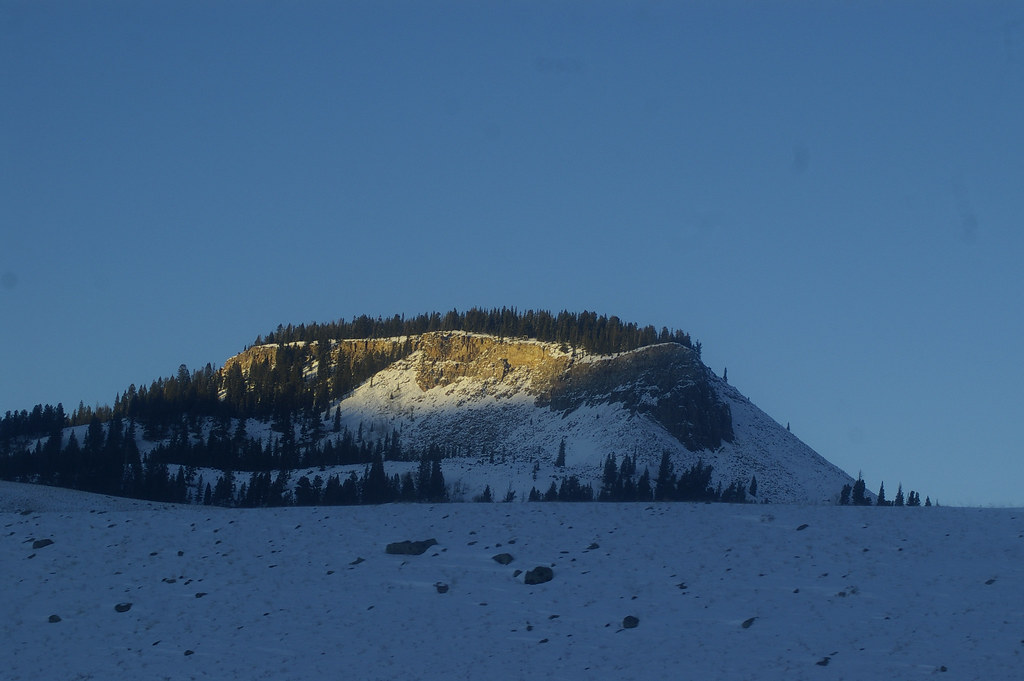 Photo: hesyifei, CC BY-SA 2.0 (via Flickr)
Dailey Creek Trailhead (WK1)
~9 min drive
This trailhead along Highway 191 in the western part of the park provides access to one trail: Dailey Creek Trail Dailey Creek Trail A strenuous 10-mile (16-km) there-and-back trail that starts near Dailey Creek and heads up to Dailey Pass, where you can reach the Sky Rim T…
 Photo: Greg Willis from Denver, CO, usa, CC BY-SA 2.0 (via Wikimedia Commons)
RAMSHORN LAKE
~13 min drive
1.12-mile out-and-back trail to Ramhorn Lake in Montana with 213 ft of elevation gain.
Sky Rim Trail
~14 min drive
10.28-mile out-and-back trail in Montana with 2,235 ft elevation gain
 Photo: Forest Service - Northern Region, Public Domain Mark (via Flickr)
Elk Horn
~11 min drive
9.64-mile out-and-back trail in Montana with 1,272 ft gain.
Photo: Greg Willis from Denver, CO, usa, CC BY-SA 2.0 (via Wikimedia Commons)Tom Miner Divide South
~14 min drive
3.75-mile out-and-back trail in Montana with 658 ft gain.
Photo: hesyifei, CC BY-SA 2.0 (via Flickr)Black Butte Trailhead (WK2)
~12 min drive
The Black Butte trailhead is on the northwest side of Yellowstone near US Highway 191. From this trailhead, you can embark on the following trail: Black Butte Trail Black Butte Trail This is a strenuous 11.4-miles (18.3 km) there-and-back trail that climbs 3,100 feet (945 m…
Cinnamon Lookout
~6 min drive
2.32-mile out-and-back trail with 1,022 ft gain in Montana.
Black Butte Trail
~14 min drive
5.86-mile out-and-back trail in Montana with 399 ft gain and 3,402 ft loss.
Local operatorsoffering guided trips. You book directly with them — Roamze doesn’t take a cut.
Yellowstone Safari Company
Hiking business nearby (~44 mi away) — hasn't claimed their Roamze page yet
