Hearts Content Interp
At a glance
Hearts Content Interp is a 1.6-mile out-and-back trail in the Bradford Ranger District of Pennsylvania's Allegheny National Forest, managed by the Forest Service. The trail is rated easy in distance but challenging in terrain, with a steady climb of about 170 feet one way from a starting point near 1,875 feet to a high of about 1,906 feet. The steepest stretch comes early, around 0.27 miles in, with a grade of about 6 percent. Summer is the most comfortable time to go. Typical averages from a nearby weather station in Warren, PA, run to highs around 81°F in July, while the station sits roughly 700 feet lower than the trail, so temperatures on the route run cooler. The trail is on foot-only. Bikes and horses are not allowed. Wheeler is about half a mile away, and Tanbark Trail and Hickory Creek are within a mile. For an overnight stay, Flying W Ranch is about 10 miles off.
- round trip
- 1.6 mi
- climb
- 169 ft
- high point
- 1,906 ft
- route
- Out and back
- time
- About 30 minutes
- best months
- Aug–Sep
Where it is: Bradford Ranger District · Allegheny National Forest
Near: Warren
Best time to visit Hearts Content Interp
Best months: August–September. Best months have typical highs of 55–85 °F, lows of 30 °F or warmer (32 °F where the station doesn't record snow), at most one snowy day and no more than 12 wet days.
Jan
33°
18°
18 wet
Feb
35°
18°
15 wet
Mar
44°
24°
15 wet
Apr
58°
34°
15 wet
May
70°
45°
15 wet
Jun
77°
54°
13 wet
Jul
81°
59°
13 wet
Aug
80°
58°
12 wet
Sep
74°
52°
12 wet
Oct
61°
41°
15 wet
Nov
48°
32°
16 wet
Dec
37°
24°
18 wet
Typical high / low (°F) and days with rain or snow, 1991–2020. Measured at Warren, PA, 12 mi away at 1,210 ft. The station sits about 700 ft lower than this place, so expect it a little cooler here. This station doesn't record snowfall. Source: NOAA NCEI U.S. Climate Normals 1991–2020.
Been here? Tell people how it was.
- WheelerHiking0.5 mi
- Tanbark TrailHiking0.6 mi
- Hickory CreekHiking0.7 mi
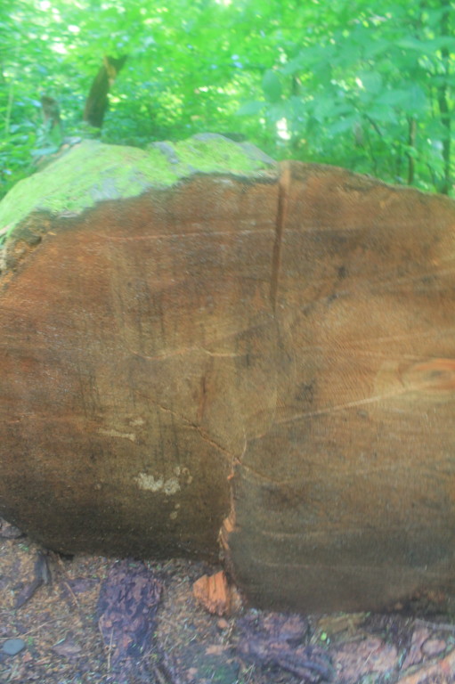 Tom's Run TrailHikingPhoto: andyarthur, CC BY 2.0 (via Flickr)0.8 mi
- IronwoodHiking1 mi
- Flying W RanchCamping9.7 mi
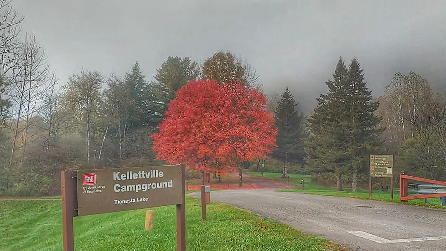 Kellettville Recreation AreaLake fishing10 mi
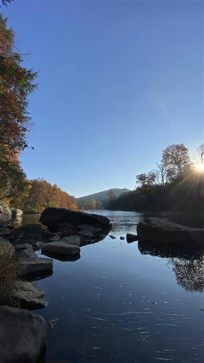 Kellettville Recreation Area (pa)CampingPhoto: Recreation.gov (RIDB) / public domain10 mi
- Tanbark & Ironwood Loop TrailHikingPhoto: andyarthur, CC BY 2.0 (via Flickr)~2 min drive
 Jrembt - Bent RunHikingPhoto: Photo taken by the staff of the Chief Cornplanter Council.
Original uploader was Kjbsa at en.wikipedia, CC BY-SA 3.0 (via Wikimedia Commons)~28 min drive
- ASL #5 HICKORY RIDGEHiking~2 min drive
- Minister CreekHiking~12 min drive
- Tom's Run TrailHikingPhoto: andyarthur, CC BY 2.0 (via Flickr)~1 min drive
- Jrembt - UrsusHikingPhoto: Photo taken by the staff of the Chief Cornplanter Council.
Original uploader was Kjbsa at en.wikipedia, CC BY-SA 3.0 (via Wikimedia Commons)~29 min drive
- ASL #6 LOGAN RIDGEHiking~18 min drive
- North Country National ScenicHiking~23 min drive
- Hickory CreekHiking~1 min drive
- Jrembt - Coal KnobHikingPhoto: Photo taken by the staff of the Chief Cornplanter Council.
Original uploader was Kjbsa at en.wikipedia, CC BY-SA 3.0 (via Wikimedia Commons)~29 min drive
Conditions and forecast
Caution todayAgency alerts are in effect for this areaUSFS · checked just nowDaily highs and lows, wind and the chance of precipitation at Start for the next 7 days, from the Open-Meteo model.
Ask about this place
Questions about Hearts Content Interp: conditions, access, timing. Answers say when something isn't known.
