
Potomac
New York
Free — you'll pick up right here.
1.7 mi
Distance
325 ft
Gain
43 min
Time
No verdict for this trail
We won't guess. Here is exactly what we do and don't know.
What we do know
Inside Green Mountain and Finger Lakes National Forests
2 managing-area boundaries mapped — agency alerts for them feed this page automatically.
Boundary data
What's missing
No access route mapped
We don't yet know which road reaches this trailhead, so we can't tell you if it's gated.
Nobody's filed a report here yet — be the first.
Why you'll love it
Here's your day, mapped
Potomac
Suggested plan · check conditions before you go
Meals
Gear for the day
Elevation & route
- Distance
- 1.7 mi
- Elevation gain
- 325 ft
- Elevation loss
- 325 ft
- Highest point
- 1,821 ft
- Lowest point
- 1,692 ft
Photos
Directions & GPX
Permits & access
- Managing agency
- Forest Service
- Bikes
- yes
About this trail
The Potomac Trail in New York is a scenic 1.93-mile out-and-back hike that offers a pleasant woodland experience for hikers of all abilities. This trail provides an accessible way to explore the natural beauty of the Potomac area with minimal elevation gain and a straightforward return route on the same path.
Add to a trip & share
Keep exploring — more trails worth the drive
 Photo: andyarthur, CC BY 2.0 (via Flickr)
Horse
~2 min drive
0.76-mile out-and-back trail in New York with 118 ft of elevation gain.
 Photo: javajoe6, CC BY-SA 3.0 (via Wikimedia Commons)
Ravine
~3 min drive
Ravine is a 1.05-mile out-and-back trail in New York with 182 feet of elevation gain.
 Photo: Seabamirum from Ithaca, CC BY 2.0 (via Wikimedia Commons)
Finger Lakes / North Country Trail
~6 min drive
4.6-mile out-and-back trail in New York with 1,151 ft elevation gain
 Photo: javajoe6, CC BY-SA 3.0 (via Wikimedia Commons)
Backbone Trail
~1 min drive
11.22-mile out-and-back trail in New York with 1,127 ft elevation gain
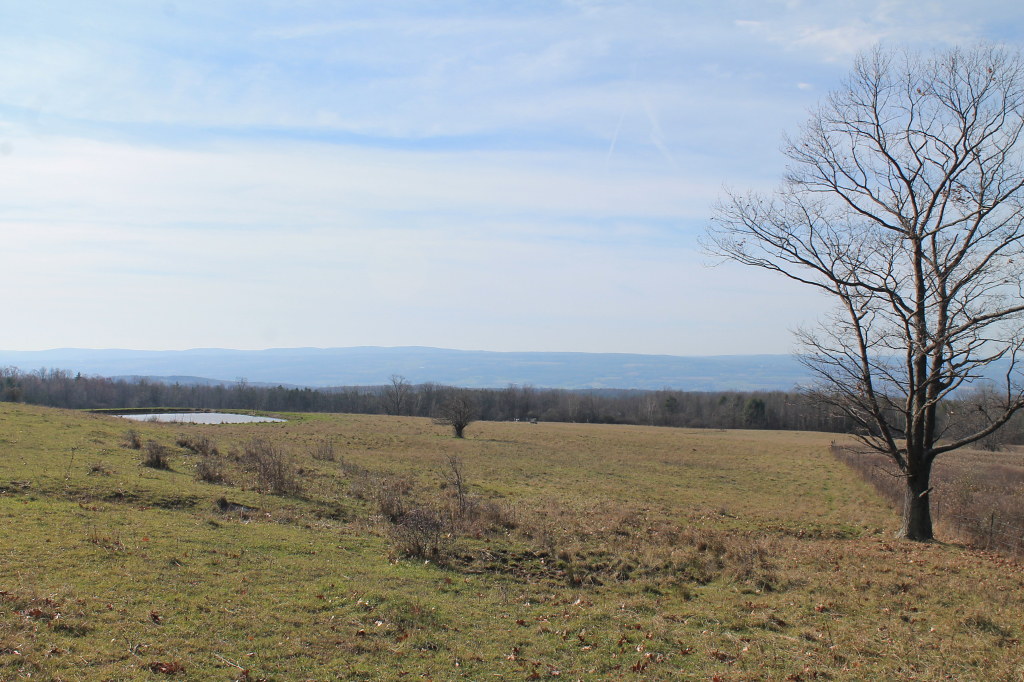 Photo: andyarthur, CC BY 2.0 (via Flickr)
Ravine Loop
~3 min drive
0.62-mile out-and-back trail in New York with 58 ft of elevation gain.
Photo: Seabamirum from Ithaca, CC BY 2.0 (via Wikimedia Commons)Gorge Trail
~4 min drive
Gorge Trail is a 0.79-mile point-to-point trail in New York with 4 ft gain.
 Photo: Ron Shawley, CC BY 3.0 (via Wikimedia Commons)
Indian Trail
~16 min drive
0.97-mile point-to-point trail in New York with 322 ft gain and 416 ft loss.
Photo: Seabamirum from Ithaca, CC BY 2.0 (via Wikimedia Commons)Interloken Trail
~6 min drive
A 10.91-mile point-to-point New York trail through scenic terrain.
 Photo: javajoe6, CC BY-SA 3.0 (via Wikimedia Commons)
South Slope
~6 min drive
1.59-mile out-and-back trail in New York with 212 ft elevation gain
 Photo: Ron Shawley, CC BY 3.0 (via Wikimedia Commons)
Gorge Trail
~16 min drive
Gorge Trail is a 1.13-mile point-to-point trail in New York with 276 ft of elevation gain.
