
SanfordFun.com Tours, Events & Experiences
Hiking business nearby (~46 mi away) — hasn't claimed their Roamze page yet
Florida
Free — you'll pick up right here.
2.9 mi
Distance
218 ft
Gain
1h 1m
Time
We won't guess. Here is exactly what we do and don't know.
What we do know
Inside National Forests in Florida
2 managing-area boundaries mapped — agency alerts for them feed this page automatically.
Boundary data
What's missing
No access route mapped
We don't yet know which road reaches this trailhead, so we can't tell you if it's gated.
Nobody's filed a report here yet — be the first.
Why you'll love it
Salt Springs Wildlife Viewing
Suggested plan · check conditions before you go
Source for bikes, horses, surface, accessibility: USDA Forest Service National Forest System Trails (EDW)
This 2.94-mile out-and-back trail in Florida offers excellent opportunities to observe native wildlife in their natural habitat around the scenic Salt Springs area. The relatively flat terrain and moderate distance make it accessible for most hikers while providing rewarding views of the spring-fed waters and surrounding ecosystem. Expect to encounter diverse bird species, aquatic wildlife, and lush vegetation typical of Florida's natural springs environment.
It's essentially flat.
Source: Roamze elevation profile and trail geometry (DEM samples along the mapped route)
Typical monthly averages (not a forecast) from the Crescent City, FL weather station, 14 mi away. High / low in °F, and days with snow.
Source: USFS EDW boundaries
Active alerts for National Forests in Florida as of Oct 9, 2026:
information · posted Aug 24, 2026
information · posted Aug 24, 2026
Prospect Bluff Historic Site Closure Order
information · posted Aug 24, 2026
Fire Restrictions in Effect for Ocala National Forest
fire-restriction · posted Aug 24, 2026
Travel Management & Off-Highway Vehicle (OHV) Program
critical · posted Aug 24, 2026
Source: USFS forest alerts
Source: Roamze catalog (indexable pages within 10 miles, PostGIS distance)
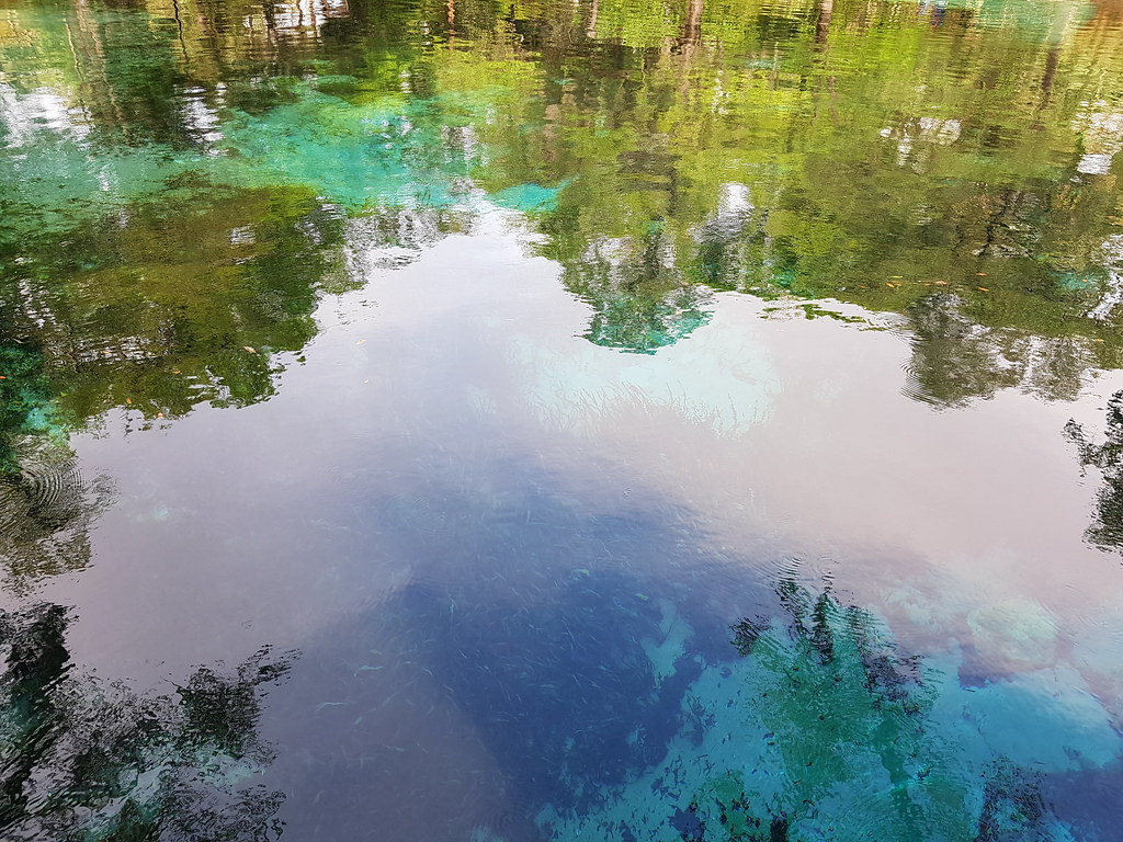 Photo: Guillaume Capron, CC BY-SA 2.0 (via Flickr)
Juniper Springs Nature Trail
~18 min drive
Easy out-and-back nature trail through Florida springs landscape.
 Photo: Miosotis Jade, CC BY-SA 4.0 (via Wikimedia Commons)
Lake, Alachua, Marion (Lam) Tr
~21 min drive
44.00-mile out-and-back trail in Florida with 724 ft gain and 791 ft loss.
Lake Eaton Sinkhole Tr
~16 min drive
Out-and-back trail to a scenic Florida sinkhole through flatwoods terrain.
Lam Horse Trail
~37 min drive
28.2-mile out-and-back trail in Florida with 289 ft elevation gain.
 Photo: homeredwardprice, CC BY 2.0 (via Wikimedia Commons)
Ocala National Forest to Cross Florida Greenway Connector
~35 min drive
1.18-mile out-and-back trail in Ocala National Forest connecting to the Cross Florida Greenway.
The Yearling Trail
~13 min drive
6.5-mile out-and-back Florida trail through natural terrain.
Lake Eaton Loop Trail
~17 min drive
Scenic 4.2-mile out-and-back Florida trail featuring lakefront views and wildlife.
Photo: homeredwardprice, CC BY 2.0 (via Wikimedia Commons)Military Trail Loop
~35 min drive
A 3.39-mile point-to-point Florida trail with easy, accessible hiking.
Lake George Conservation Area Trail
~19 min drive
43.66-mile point-to-point trail in Florida with 369 ft gain.
Baptist Riding Loop
~38 min drive
5.47-mile out-and-back trail in Florida with 161 ft elevation gain.
Local operatorsoffering guided trips. You book directly with them — Roamze doesn’t take a cut.
SanfordFun.com Tours, Events & Experiences
Hiking business nearby (~46 mi away) — hasn't claimed their Roamze page yet
