Johnson Lake
Montana
Free — you'll pick up right here.
5.5 mi
Distance
1,040 ft
Gain
2h 20m
Time
Conditions: Blocked
for hike, todayAn agency closure order is in effect for this area; weather is good
2 factors · 2 sources
Newest 4 h ago · oldest 4 h
problem: Agency alerts
20 active alerts in Custer Gallatin National Forest; most severe: NFSR #1700 South Plateau Road Closure
USFSPosted Oct 2 · checked 4 h ago
clear: Weather
Clear, high 67°F / low 24°F, 0% precip — 98/100 for hike
OpenWeather4 h ago
Been out here in the last few days? One report keeps this current for everyone.
Why you'll love it
Here's your day, mapped
Johnson Lake
Suggested plan · check conditions before you go
Meals
Gear for the day
Elevation & route
- Distance
- 5.5 mi
- Elevation gain
- 1,040 ft
- Highest point
- 8,095 ft
- Lowest point
- 6,801 ft
Photos
Directions & GPX
Permits & access
- Managing agency
- Forest Service
- Bikes
- yes
About this trail
Johnson Lake is a 5.46-mile out-and-back trail in Montana with 1,040 feet of elevation gain. The trail follows an out-and-back route type.
Add to a trip & share
Keep exploring — more trails worth the drive
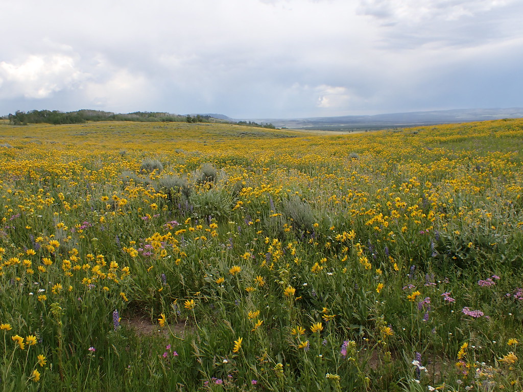 Photo: Matt Lavin, CC BY-SA 2.0 (via Flickr)
Gneiss Creek Trail
~5 min drive
12.46-mile out-and-back trail in Montana with 720 ft gain.
 Photo: Roebot, CC BY-SA 2.0 (via Flickr)
HORSE BUTTE LOOP (SNOWMO)
~8 min drive
7.48-mile loop trail in Montana with 657 ft elevation gain and loss.
Fawn Pass Trailhead (WK5)
~18 min drive
The Fawn Pass trailhead is on the northwest side of Yellowstone near U.S. Highway 191. From this trailhead, you can embark on the following trail: Fawn Pass Trail Fawn Pass Trail This trail can either be a there and back 18-mile (28.9 km) strenuous hike to the top of Fawn P…
 Photo: hesyifei, CC BY-SA 2.0 (via Flickr)
Fawn Pass Trail
~18 min drive
20.05-mile out-and-back trail in Montana with 2,373 ft elevation gain
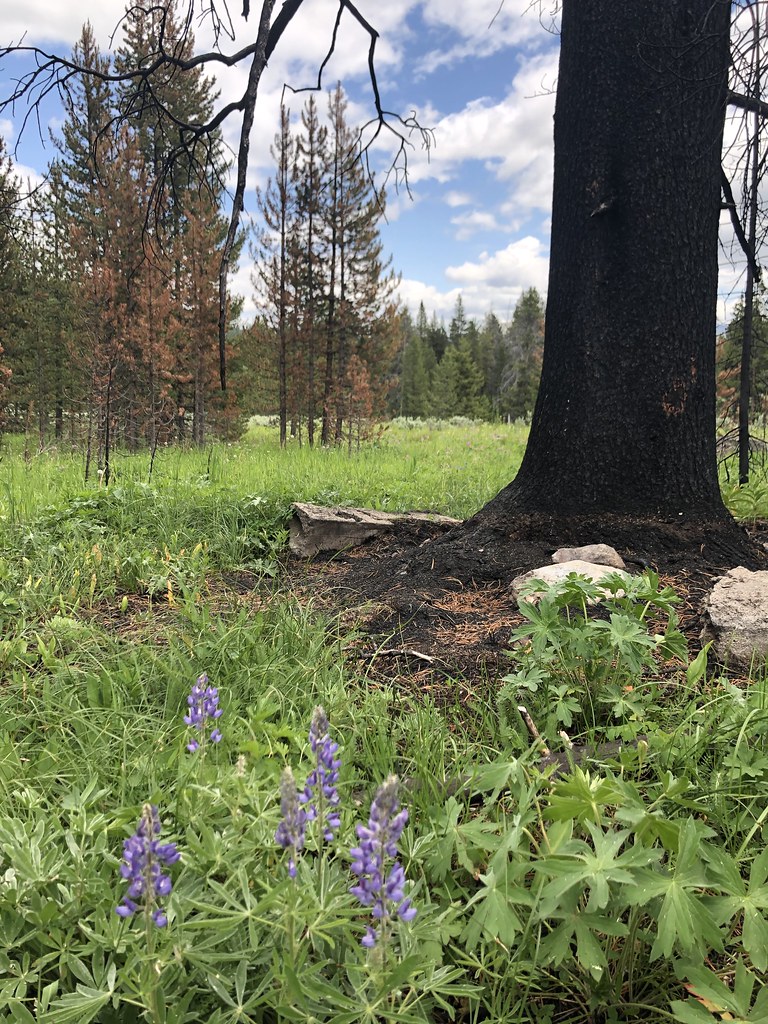 Photo: Forest Service - Northern Region, Public Domain Mark (via Flickr)
Bacon Rind Creek Trail
~18 min drive
2.12-mile out-and-back trail in Montana with 448 ft elevation gain.
 Photo: Sam Beebe/Ecotrust, CC BY-SA 3.0 (via Wikimedia Commons)
Kirkwood Trail
~14 min drive
13.56-mile out-and-back in Montana with 3,849 ft gain/loss.
Whits Lake
~2 min drive
4.29-mile out-and-back trail in Montana with 643 ft elevation gain.
Bacon Rind Trailhead (WK4)
~18 min drive
The Bacon Rind trailhead is on the northwest side of Yellowstone near U.S. Highway 191. From this trailhead, you can embark on the following trail: Bacon Rind Trail Bacon Rind Trail A strenuous 10.2-mile (16.4 km) there-and-back trail that climbs 2,400 feet (731 m) through…
Old Tepee
~3 min drive
2.35-mile out-and-back trail in Montana with 266 ft gain.
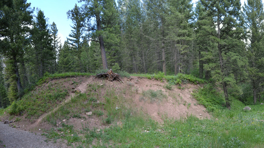 Photo: inkenbrandt, CC BY 2.0 (via Flickr)
Cabin Creek
~17 min drive
11.09-mile out-and-back trail in Montana with 2,389 ft elevation gain.
