Blake Creek Summit
Montana
Free — you'll pick up right here.
4.3 mi
Distance
2,072 ft
Gain
2h 28m
Time
Conditions: Caution
for hike, todayAgency alerts are in effect for this area; weather is good
2 factors · 2 sources
Newest 10 min ago · oldest 12 min
caution: Agency alerts
3 active alerts in Helena-Lewis and Clark National Forest; most severe: Prescribed Fire Notice
USFSPosted Sep 16 · checked 12 min ago
clear: Weather
Clouds, high 71°F / low 60°F, 0% precip — 95/100 for hike
OpenWeather10 min ago
Been out here in the last few days? One report keeps this current for everyone.
Why you'll love it
Here's your day, mapped
Blake Creek Summit
Suggested plan · check conditions before you go
Meals
Gear for the day
Elevation & route
- Distance
- 4.3 mi
- Elevation gain
- 2,072 ft
- Highest point
- 8,149 ft
- Lowest point
- 6,097 ft
Photos
Directions & GPX
Permits & access
- Managing agency
- Forest Service
- Bikes
- yes
About this trail
Blake Creek Summit is a 4.27-mile out-and-back trail in Montana with 2,072 feet of elevation gain. The route follows a standard out-and-back pattern.
Add to a trip & share
Keep exploring — more trails worth the drive
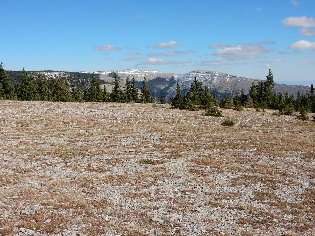 Photo: Matt Lavin, CC BY-SA 2.0 (via Flickr)
West Peak
~3 min drive
West Peak is a 14.24-mile out-and-back trail in Montana with 26 feet of elevation gain.
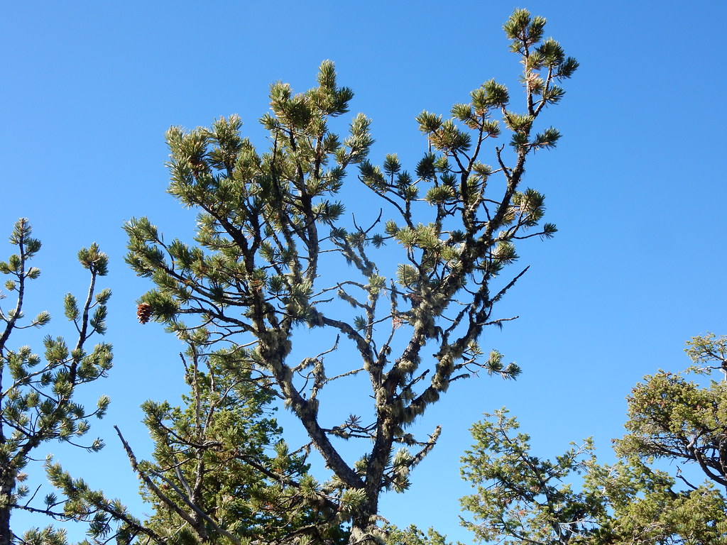 Photo: Matt Lavin, CC BY-SA 2.0 (via Flickr)
Crystal Cascades Connector
~6 min drive
3.46-mile out-and-back trail in Montana with 605 ft gain.
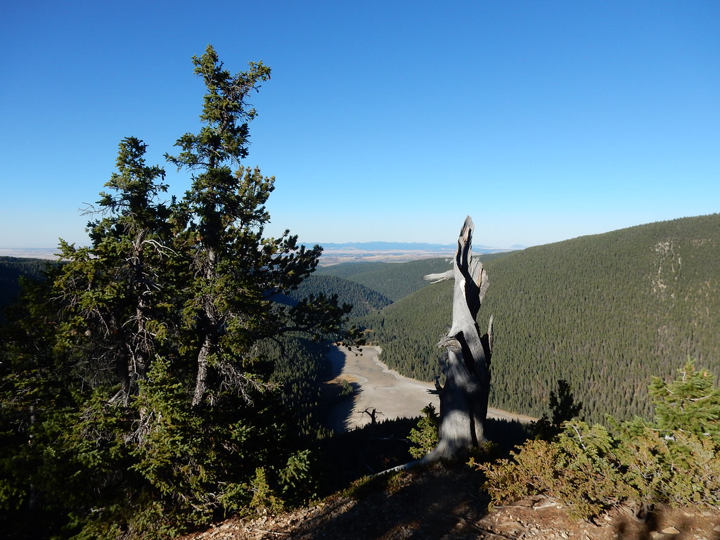 Photo: Matt Lavin, CC BY-SA 2.0 (via Flickr)
Crystal Lk Stock Bypass
~6 min drive
1.99-mile out-and-back trail to Crystal Lake in Montana with 77 ft of elevation gain.
 Photo: Matt Lavin, CC BY-SA 2.0 (via Flickr)
Grand View
~7 min drive
5.50-mile loop trail in Montana with 1,783 ft elevation gain.
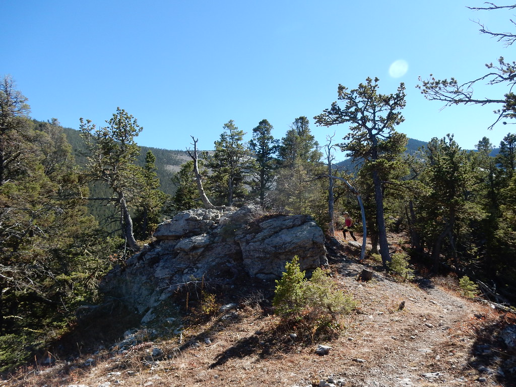 Photo: Matt Lavin, CC BY-SA 2.0 (via Flickr)
Uhlhorn
~6 min drive
37.89-mile out-and-back trail in Montana with 2,331 ft elevation gain.
Photo: Matt Lavin, CC BY-SA 2.0 (via Flickr)Crystal Lake Loop
~6 min drive
1.53-mile loop trail in Montana with 22 ft of elevation gain.
Buffalo Trail
~1h 6m drive
1.14-mile out-and-back trail in Montana with 138 ft elevation gain
Logan Ridge
~12 min drive
4.59-mile out-and-back trail on a ridge in Montana with 1,020 ft of gain.
Neil Creek
~4 min drive
5.08-mile out-and-back trail in Montana with 2,248 ft elevation gain.
Photo: Matt Lavin, CC BY-SA 2.0 (via Flickr)Promontory Point
~7 min drive
0.8-mile out-and-back trail in Montana with 254 ft of elevation gain.

