
Mt. Lowe
Campground
0.7 mi from the trail
Bear Canyon is a hard hike in California's Angeles National Forest, within the Los Angeles Gateway Ranger District. The out-and-back route runs about 9 miles and gains roughly 2,300 feet, from a low point around 2,600 feet to a high of nearly 4,900 feet. The Forest Service manages the land, and the trail has a natural surface. The most comfortable stretch for a trip is spring or fall. Typical averages from a nearby weather station at Mt Wilson show May highs around 70°F with lows near 48°F, and October highs around 72°F with lows near 51°F. That station sits about 800 feet higher than the canyon's high point, so temperatures on the trail run a bit warmer. The Jim Spencer trail and the Tom Sloane trail both start within a mile, and Mt. Lowe campground is about 0.7 miles away. Roadside Boulder, a climbing area, lies about 3 miles off.
Where it is: Los Angeles Gateway Ranger District · Angeles National Forest
Near: Pasadena
Best months: Year-round. Best months have typical highs of 55–85 °F, lows of 30 °F or warmer (32 °F where the station doesn't record snow), at most one snowy day and no more than 12 wet days.
Jan
56°
38°
7 wet
Feb
55°
37°
8 wet
Mar
59°
39°
7 wet
Apr
63°
42°
4 wet
May
70°
48°
3 wet
Jun
79°
58°
1 wet
Jul
84°
64°
1 wet
Aug
85°
64°
1 wet
Sep
81°
59°
1 wet
Oct
72°
51°
3 wet
Nov
63°
43°
4 wet
Dec
55°
37°
7 wet
Typical high / low (°F) and days with rain or snow, 1991–2020. Measured at Mt Wilson Cbs, CA, 2.7 mi away at 5,710 ft. The station sits about 800 ft higher than this place, so expect it a little warmer here. This station doesn't record snowfall. Source: NOAA NCEI U.S. Climate Normals 1991–2020.
Been here? Tell people how it was.
 Jim Spencer trailHikingPhoto: mjhbower, CC BY-SA 2.0 (via Flickr)0.5 miTom SloaneHikingPhoto: mjhbower, CC BY-SA 2.0 (via Flickr)0.6 mi
 Big Tujunga CreekCanoeingPhoto: MajaTrochimczyk, CC BY 3.0 us (via Wikimedia Commons)7 mi
 West Fork San Gabriel RiverCanoeingPhoto: Eeekster, CC BY 3.0 (via Wikimedia Commons)8.7 miJim Spencer trailHikingPhoto: mjhbower, CC BY-SA 2.0 (via Flickr)Next doorTom SloaneHikingPhoto: mjhbower, CC BY-SA 2.0 (via Flickr)~1 min driveIdlehour TrailHikingPhoto: mjhbower, CC BY-SA 2.0 (via Flickr)~1 min drive
 Altadena Crest TrailHikingPhoto: USMARINE0311 from California, United States, CC BY-SA 2.0 (via Wikimedia Commons)~5 min drive
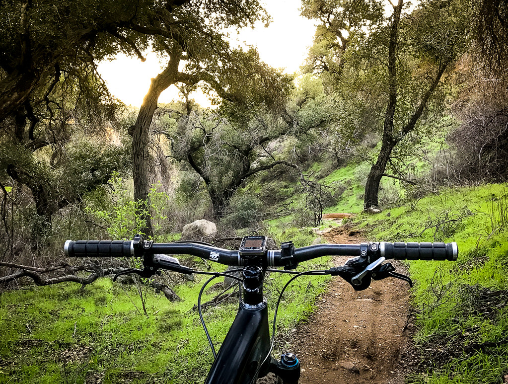 Millard Falls TrailHikingPhoto: Perfect Zero, CC BY 2.0 (via Flickr)~3 min driveMerrill (Upper)HikingPhoto: mjhbower, CC BY-SA 2.0 (via Flickr)~1 min driveSunset Ridge TrailHikingPhoto: Perfect Zero, CC BY 2.0 (via Flickr)~3 min drive
 Old Echo Montain TrailHikingPhoto: Brück & Sohn Kunstverlag Meißen, CC0 (via Wikimedia Commons)~3 min drive
 One Man & Mule TrailHikingPhoto: mjhbower, CC BY-SA 2.0 (via Flickr)~2 min drive
 Barley Flats Truck TrailHikingPhoto: mjhbower, CC BY-SA 2.0 (via Flickr)~4 min drive
Daily highs and lows, wind and the chance of precipitation at Start for the next 7 days, from the Open-Meteo model.
Questions about Bear Canyon: conditions, access, timing. Answers say when something isn't known.
Mt. Lowe
Campground
 If it rainsBoothsift, CC BY-SA 4.0 · Wikimedia Commons
Places © OpenStreetMap contributors · Photos: Boothsift, CC BY-SA 4.0 (commons)
More in Acton