


Camp Always Choose Adventures
Hiking business nearby (~21 mi away) — hasn't claimed their Roamze page yet
Colorado
Free — you'll pick up right here.
1.8 mi
Distance
671 ft
Gain
We won't guess. Here is exactly what we do and don't know.
What we do know
Inside Arapaho and Roosevelt National Forests
2 managing-area boundaries mapped — agency alerts for them feed this page automatically.
Boundary data
What's missing
No access route mapped
We don't yet know which road reaches this trailhead, so we can't tell you if it's gated.
Nobody's filed a report here yet — be the first.
Why you'll love it
B &b
Suggested plan · check conditions before you go
B &B is a 1.84-mile out-and-back trail in Colorado managed by Arapaho and Roosevelt National Forests. The route gains 671 feet of elevation, reaching a maximum elevation of 11,572 feet.
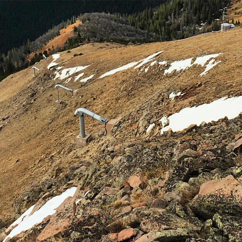 Photo: gregor_y, CC BY-SA 2.0 (via Flickr)
Upper Iko
~9 min drive
Upper Iko is a 1.99-mile out-and-back trail in Colorado with 69 ft of elevation gain.
Mount Nystrom
~9 min drive
23.25-mile out-and-back to Mount Nystrom in Colorado, 2,798 ft gain
Photo: gregor_y, CC BY-SA 2.0 (via Flickr)UPPER ELK CREEK
~10 min drive
5.08-mile out-and-back trail in Colorado with 2,143 ft elevation gain and loss.
Photo: gregor_y, CC BY-SA 2.0 (via Flickr)D-2 Trail
~10 min drive
1.60-mile trail in Colorado with 400 ft of elevation gain.
 Photo: gregor_y, CC BY-SA 2.0 (via Flickr)
ELK CREEK LOOP
~9 min drive
7.96-mile out-and-back trail in Colorado with 2,811 ft elevation gain.
Bottle Peak
~1 min drive
4.26-mile out-and-back to Bottle Peak at 11,595 ft in Colorado
 Photo: denverkid, CC BY 2.0 (via Flickr)
Waterfall Trail
~10 min drive
0.84-mile out-and-back hike with 281 ft gain in Colorado.
CDNST - Prospector Gulch - Colorado
~1 min drive
32.52-mile point-to-point trail in Colorado with 7,615 ft elevation gain
Byers Peak
~1 min drive
4.99-mile out-and-back trail to Byers Peak in Colorado, 2,214 ft gain
Photo: gregor_y, CC BY-SA 2.0 (via Flickr)Upper Elk Creek Trail
~8 min drive
2.99-mile hike in Colorado with 600 ft of elevation gain follows upper Elk Creek.
Also worth it near here
Local operatorsoffering guided trips. You book directly with them — Roamze doesn’t take a cut.
Camp Always Choose Adventures
Hiking business nearby (~21 mi away) — hasn't claimed their Roamze page yet
Lostfork Basecamp
Hiking business nearby (~33 mi away) — hasn't claimed their Roamze page yet
Rancho Del Rio
Hiking business nearby (~35 mi away) — hasn't claimed their Roamze page yet
