
Granite Creek
Campground
4.4 mi from the trail
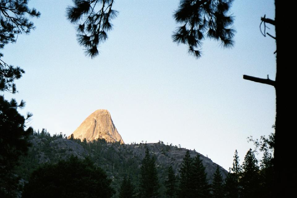
Upper French is a 6.8-mile out-and-back hike in California's Ansel Adams Wilderness, within the Bass Lake Ranger District of Sierra National Forest. The trail rises from about 6,840 feet to a high point of 7,203 feet, with a total elevation gain of 540 feet. The Forest Service manages the land, and the route is rated hard. The trail is natural-surface and not accessible. Bikes are not allowed. Summer is the most comfortable time to go. Typical averages from a nearby weather station at Mammoth Lakes show July highs around 78°F with lows near 49°F, while winter highs sit around 41°F. The Mammoth Trail starts just 0.1 mile away, and Junction Butte is 0.8 mile off. Granite Creek campground and the North Fork San Joaquin River are both within about 4.6 miles.
Where it is: Ansel Adams Wilderness · Bass Lake Ranger District
Near: Mammoth Lakes
Best months: May–September. Best months have typical highs of 55–85 °F, lows of 30 °F or warmer (32 °F where the station doesn't record snow), at most one snowy day and no more than 12 wet days.
Jan
41°
17°
Feb
41°
18°
Mar
45°
22°
Apr
51°
27°
May
60°
35°
Jun
70°
42°
Jul
78°
49°
Aug
77°
47°
Sep
71°
40°
Oct
61°
30°
Nov
49°
23°
Dec
41°
17°
Typical high / low (°F) and days with rain or snow, 1991–2020. Measured at Mammoth Lakes Rs, CA, 13.9 mi away at 7,804 ft. The station sits about 600 ft higher than this place, so expect it a little warmer here. This station doesn't record snowfall. Source: NOAA NCEI U.S. Climate Normals 1991–2020.
Been here? Tell people how it was.
 Long CreekHikingPhoto: Tom Hilton, CC BY 2.0 (via Flickr)~8 min driveCora SpurHikingPhoto: Tom Hilton, CC BY 2.0 (via Flickr)~8 min drive
 California Riding and Hiking TrailHikingPhoto: Tom Hilton, CC BY 2.0 (via Flickr)~10 min driveCassidy MeadowHikingPhoto: Tom Hilton, CC BY 2.0 (via Flickr)~10 min drive
 Lower Rainbow FallsHikingPhoto: Seth Tisue, CC BY-SA 2.0 (via Flickr)~11 min drive
Daily highs and lows, wind and the chance of precipitation at Start for the next 7 days, from the Open-Meteo model.
Questions about Upper French: conditions, access, timing. Answers say when something isn't known.
Granite Creek
Campground
 If it rainsKevin R Foote, CC BY-SA 3.0 · Wikimedia Commons
Mariposa Grove Museum
Museum
Places © OpenStreetMap contributors, Places © Overture Maps Foundation · Photos: Kevin R Foote, CC BY-SA 3.0 (commons)
More in Mammoth LakesNot on Roamze yet. Their page has how to reach them.
